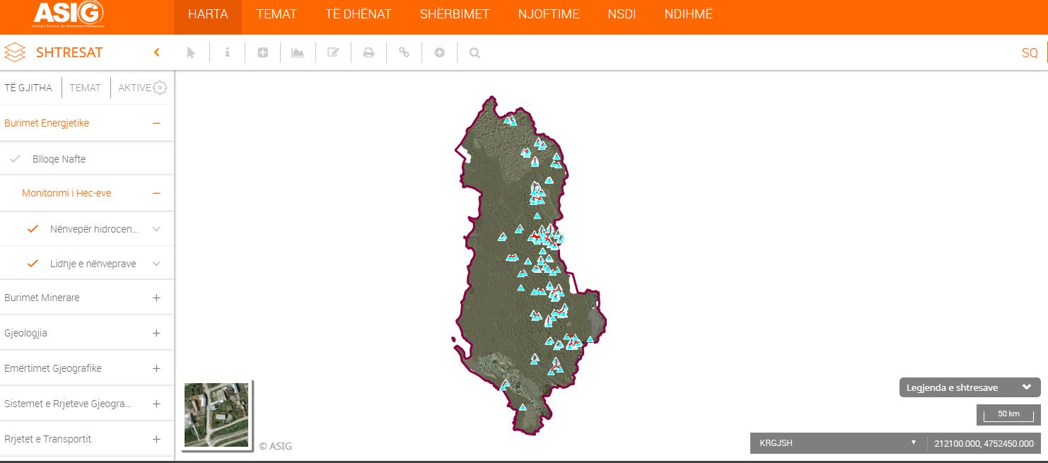
State Authority for Geospatial Information (ASIG) in cooperation with the National Agency of Natural Resources (AKBN) published on the National Geoportal the geospatial information regarding the theme "Energy Resources", Hec monitoring layers.
These data are generated by the factual recognition of the coordinates of the buildings, works of receiving, pressure basins, decantation’s and others, using the Trimble R10 GPS equipment that AKBN has, which works with the ALPOS system. This geospatial information includes all territory of the Republic of Albania.
For more click on links:
https://geoportal.asig.gov.al/map/?fc_name=lidhje_nenveper
https://geoportal.asig.gov.al/map/?fc_name=nenveper_hidrocentrali