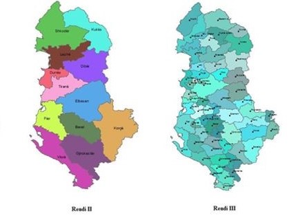
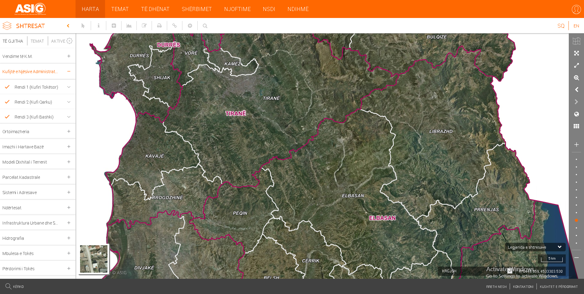
The State Authority of Geospatial Information (ASIG), based on Low no. 72/2012, date 28.16.2012 “Law on the organization and functioning of the national infrastructure of geospatial information”, has published on National Geoportal , updated geospatial information for themes ”Administrative Units Bounders”.
The updated map over administrative-territorial boundaries of local government units, has been approved DCM no 360 date 29.05.2019 “On the approval of the updated units of Local Governance mapping of administrative-territorial boundaries”, pursuant to Article 93, point 1, of Law no. 139/2015, "On Local Self-Government".
The published information is in conformity with the standard approved by DCM no. 1078, dated 23.12.2015, “On the Approval of the Document "The State Standards for the Technical Specifications of the Geospatial Information in Albania, Theme : Borderbox of Administrative Units ". This information was created by the "STAR" project, initiated by the Minister for Local Issues in 2015, in cooperation with the local self-government units and was administered and forwarded for approval to the Council of Ministers by the Agency for Support to Local Self-Government , (AMVV), which is the public authority responsible for the topic "Administrative Unit Boundaries".
For more information click on the link: