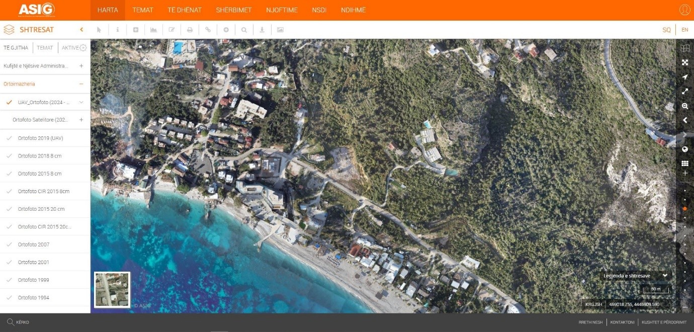
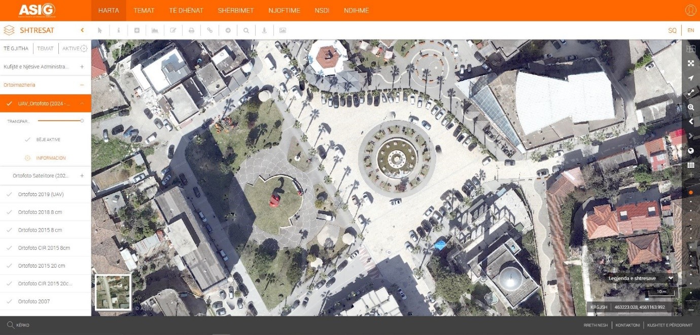
State Authority for Geospatial Information (ASIG), in its role as the public authority responsible for the topic “Orthoimaging”, has produced and published on the National Geoportal the layer:
UAV Orthophoto 2024-2025.
Orthophotos created with UAV technology enable the provision of updated geospatial data for areas with high development intensity. The data are in accordance with the State Standard for Technical Specifications of Geospatial Information in Albania - Topic: "Orthoimagery", approved by the Council of Ministers No. 397, dated 19.06.2019.
This layer includes the photography of the areas:
• Dhërmi, dated 14-15 October 2024;
• Kavaja, March 19-20, 2025;
• Lezhë, June 3-5, 2025;
• Shëngjin, July 14-16, 2025;
• Librazhd, July 1, 2025;
• Pogradec, July 23-25, 2025.