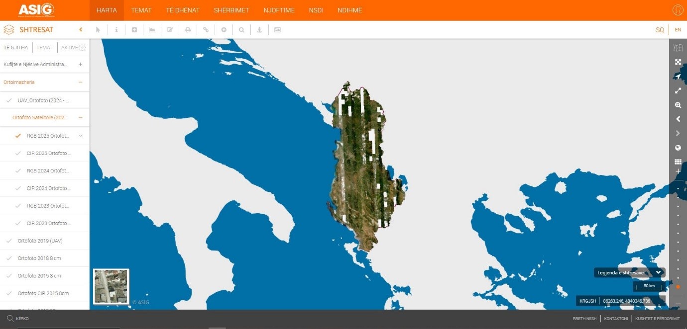
State Authority for Geospatial Information (ASIG), in its role as the public authority responsible for the topic “Orthoimagery”, has produced and published on the National Geoportal the following layers:
• RGB 2025 Satellite Orthophoto;
• CIR 2025 Satellite Orthophoto;
• Orthoimagery Coverage (Year 2025).
The Satellite Orthophoto 2025 and the Satellite Orthophoto CIR 2025 cover 92% of the territory of the Republic of Albania from satellite images collected during the period 05 May 2025 to 28 July 2025. ASIG created the Satellite Orthophoto 2025 from the mosaicking of orthorectified satellite images with a resolution of 50 cm/pixel based on the footprint layer of the satellite images.
The Orthoimagery overlay provides information on the technical specifications of the orthophoto in RGB and CIR format, the period when the area was photographed, etc.