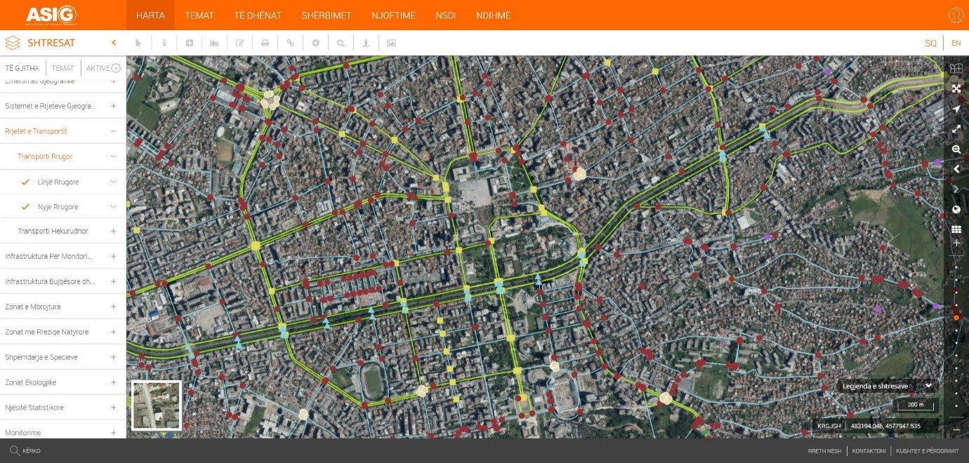
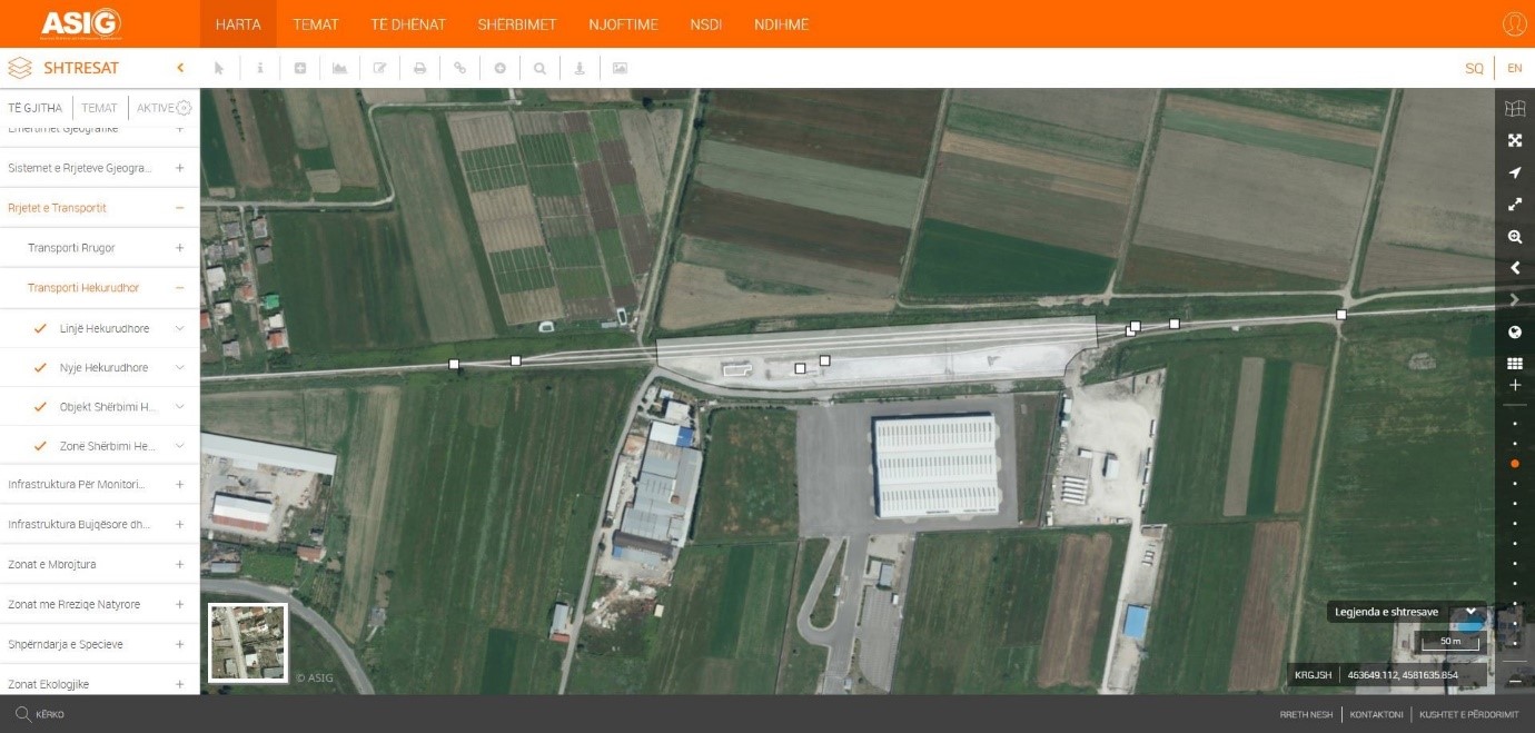
State Authority for Geospatial Information (ASIG) has created and published on the National Geoportal the geospatial information on the theme “Transport Networks”, for the following layers:
- Road Transpor;
- Road Line,
- Node Line.
- Rail Transport;
- Rail Line,
- Rail Node,
- Rail Service Facility,
- Rail Service Area.
This dataset contains geospatial data on the road and rail transport network in the Republic of Albania, including national roads, local roads, as well as other elements of road infrastructure such as bridges, tunnels, overpasses and underpasses.
For the construction of this dataset, data obtained from the Albanian Road Authority (ARRSH) and the Institute of Transport (IT) as public authorities responsible for the topic “Transport Networks” as well as from the Albanian Development Fund (FSHZH) were used, which have been specified, updated and harmonized in accordance with the technical requirements of national standards.
The data have been created in detail by the technical staff of (ASIG), through the digitalization process on the cartographic basis of the official Orthoimagery.
From a structural and geometric point of view, the data are built and organized in accordance with the State Standard for Technical Specifications of Geospatial Information in Albania – Theme: “Transport Networks”, approved by the Decision of the Council of Ministers no. 133, dated 20.03.2019.