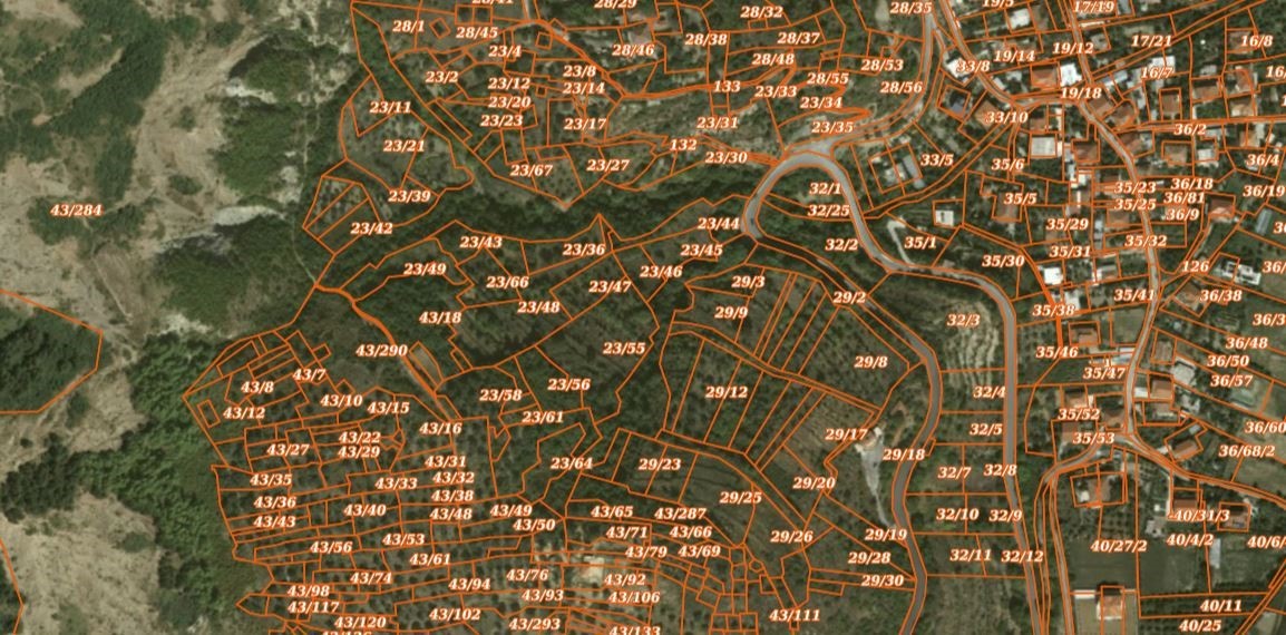
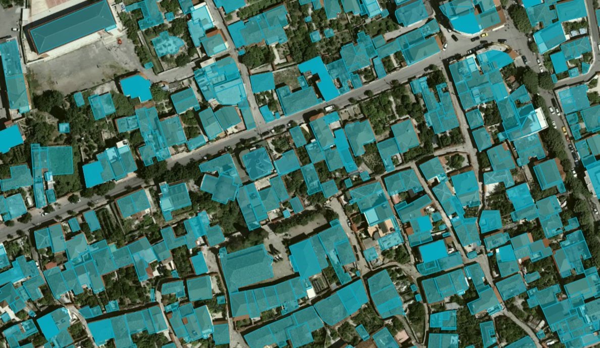
State Authority for Geospatial Information (ASIG), in cooperation with the State Cadastre Agency as the public authority responsible for the topic “Cadastral Parcels” and in accordance with the cooperation agreement between these two institutions, has published on the National Geoportal the geospatial information for the layers:
• Cadastral Parcels;
• Cadastral Buildings
These Cadastral Zones or Cadastral Blocks have been worked on in the Multifunctional system by the Local Directorates of the Cadastre Agency by updating transactions. The data were created as a result of the initial registration process of Cadastral Zones, or the process of improving the Cadastral Block/Zone.
In addition to updating existing cadastral maps, these data also include forest and pasture parcels owned by Local Self-Government Units, improving the accuracy and accessibility of cadastral information.
The Cadastral Parcel data are in compliance with the standard of the Council of Ministers No. 321, dated 27.04.2016, approving the document “State Standards for Technical Specifications of Geospatial Information in Albania - Topic: Cadastral Parcels”.