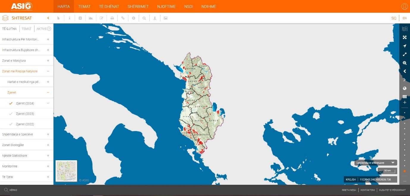
In the National Geoportal of State Authority for Geospatial Information (ASIG), geospatial information has been published for the “Fires” layer, on the topic: “Natural Risk Zones” ,“Fires (2024)”. The published information was produced in collaboration with the National Civil Protection Agency (AKMC), which is the public authority responsible for the topic “Natural Risk Zones”.
In the “Fires (2024)” layer you can find information on the fires that occurred in the territory of the Republic of Albania during 2024.
This information was provided by the Albanian Satellite Service (Albania 1 and Albania 2 satellites) and the Copernicus Satellite Service and was compared with the information provided by the Prefectures to the National Operational Center for Civil Emergencies.
The data are in accordance with the standard approved by the Council of Ministers No. 810, dated 21.10.2020, for the approval of the document "State Standards for Technical Specifications of Geospatial Information in Albania - Topic: "Natural Risk Zones".