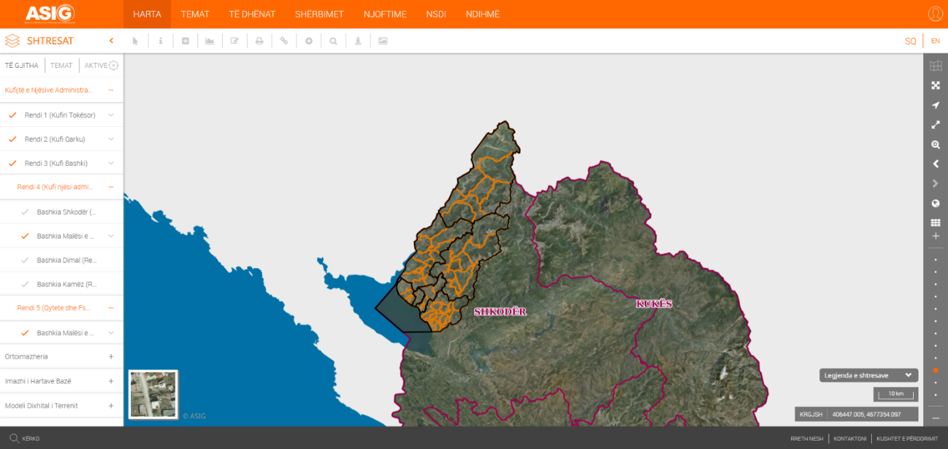
State Authority for Geospatial Information (ASIG), in cooperation with the Municipality of Malësi e Madhe, has published on the National Geoportal the geospatial information for the following layers:
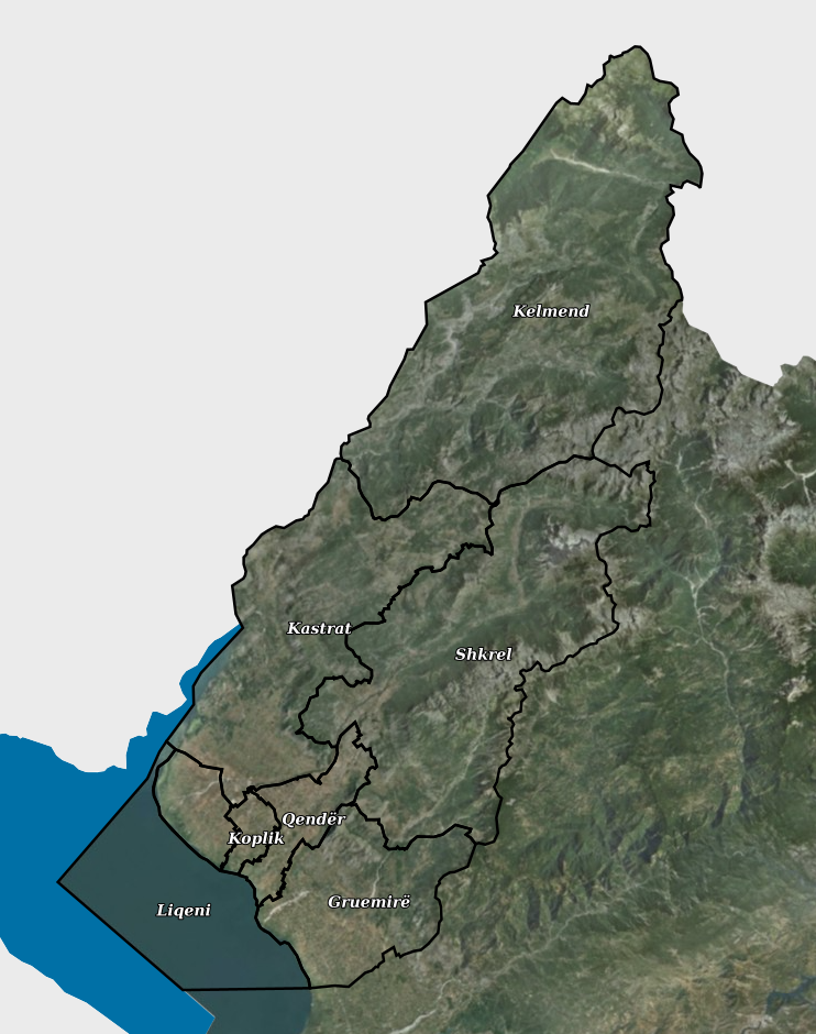
• Level 4 (Administrative unit boundaries), Municipality of Malësi e Madhe;
• Level 5 (Towns and Villages), Municipality of Malësi e Madhe.
The geospatial data for Level 4 (Administrative units) and Level 5 (Towns and Villages) for the Municipality of Malësi e Madhe have been published based on the geospatial information made available by the local self-government unit of Malësi e Madhe.
The updated borders of the Administrative Units and the villages in their composition have been approved by Decision of the Municipal Council of the Municipality of Malësi e Madhe, no. 14, dated 30.04.2020, "On the approval of the updated map of the administrative-territorial borders of the Municipality of Malësi e Madhe", in implementation of article 93, point 2, of law no. 139/2015 "On local self-government".
The data are in accordance with the standard approved by the Council of Ministers no. 1078, dated 23.12.2015, On the approval of the document "State Standards for Technical Specifications of Geospatial Information in Albania, Topic: Administrative units".