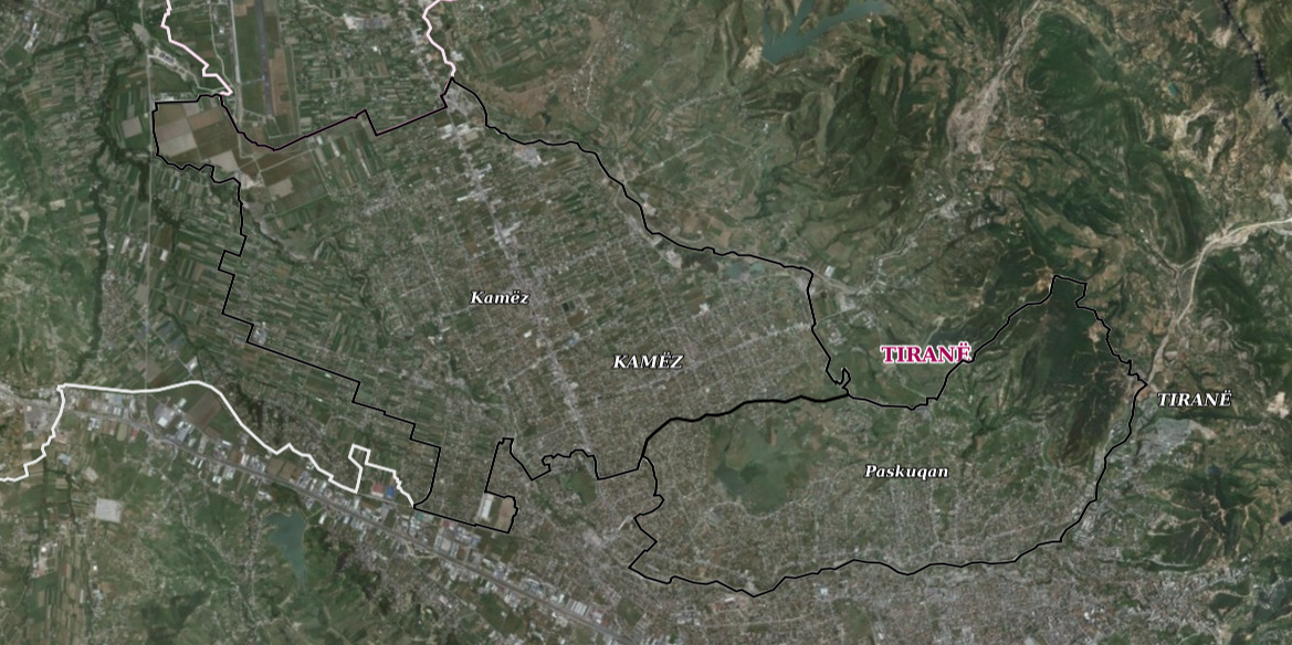
State Authority for Geospatial Information (ASIG), in cooperation with the Municipality of Kamëz, has published on the National Geoportal the geospatial information for the Boundaries of administrative units, Order 4, Municipality of Kamëz, approved by the Decision of the Municipal Council no. 13, dated 15.02.2021, "On the approval of the updated map of the administrative-territorial boundaries "For the Municipality of Kamëz", pursuant to Article 93, point 2, of Law no. 139/2015 "On local self-government".
The data are in accordance with the standard approved by VKM no. 1078, dated 23.12.2015, for the approval of the document "State Standards for Technical Specifications of Geospatial Information in Albania, Subject: Borders of administrative units".