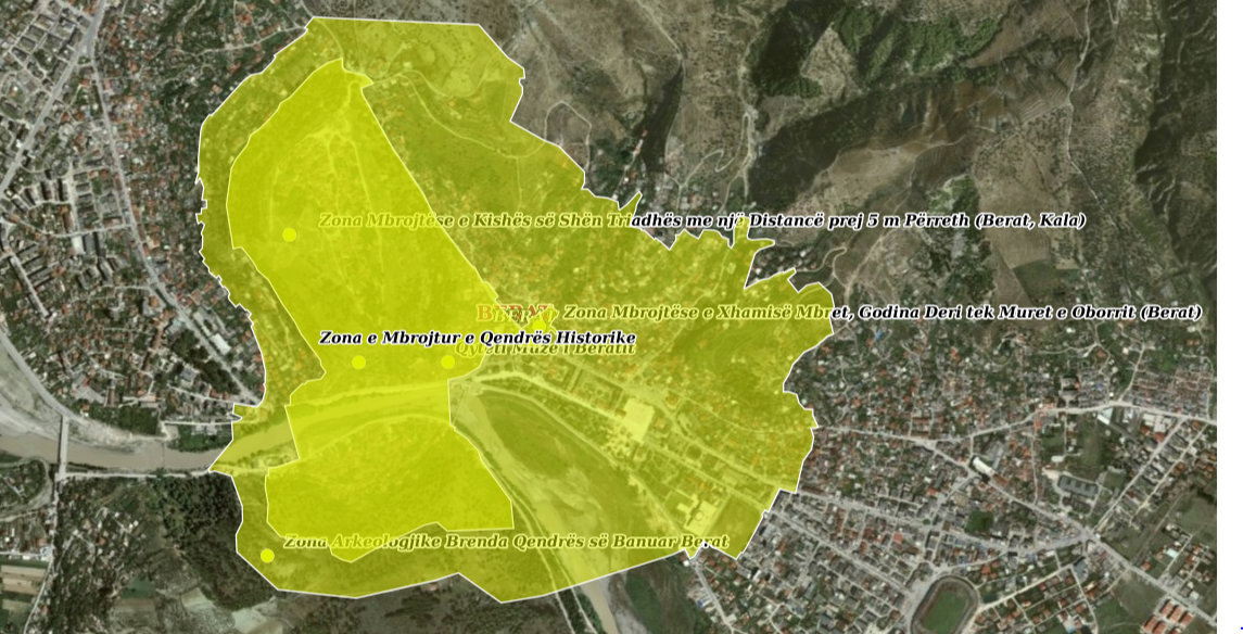
State Authority for Geospatial Information (ASIG) in cooperation with the National Institute of Cultural Heritage (IKTK), has published on the National Geoportal on the topic "Protected Sites", the geospatial information for the layers:
- Protected areas of cultural heritage (Point);
- Protected areas of cultural heritage (Poligon).
These layers contain the protected areas of the cultural heritage that include the historical centers and their protected areas as well as the archaeological areas divided according to categories "A" and "B", based on the intensity of the presence of archaeological traces and the protected areas of special monuments.