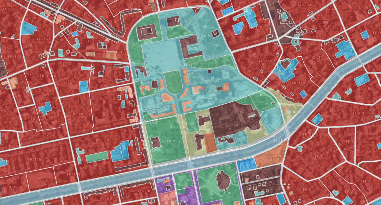
State Authority for Geospatial Information (ASIG) in cooperation with the National Agency for Territorial Planning (AKPT) which is the public authority responsible for the theme "Land Use" has published on the National Geoportal the geospatial information for the layers:
- Structural unit boundary and land use,
- Proposed categories of land use,
- Geospatial plan..
The published data contains the General Local Plans, which include the proposed categories of land use, the geospatial information on the General Local Plan that defines the mandatory reference framework for the protection and use of the administrative territory of the local government unit (municipality), "Categories of the proposed land use" where the land use categories are defined through the colors according to the map approved in the Local General Plan as well as the border of the administrative unit for which the Local General Plan was drawn up.
The published data conform to the State Standard for Technical Specifications of Geospatial Information in Albania, subject: "Land use", approved by VKM- in no. 811, dated 21.10.2020.
