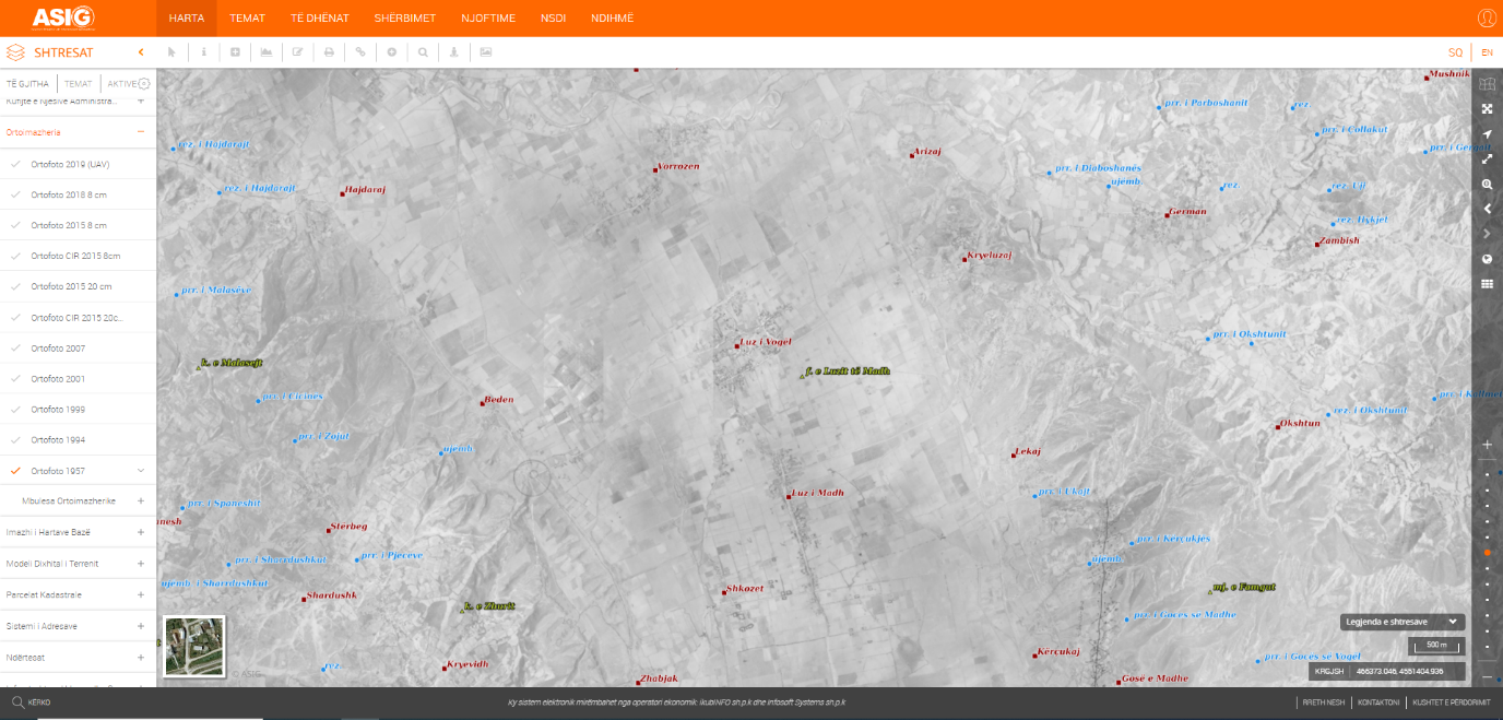
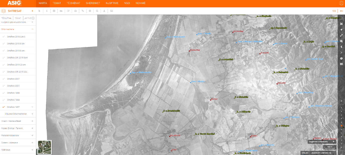
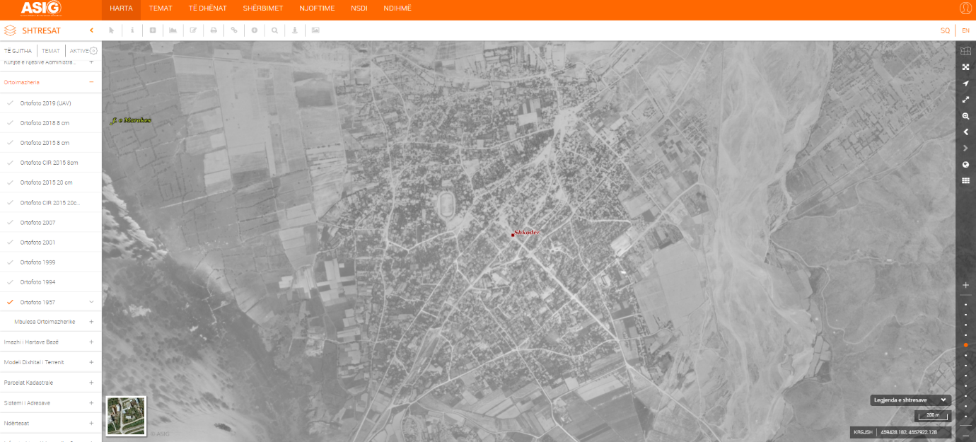
The Orthophoto of the year 1957 has been created and published on the National Geoportal by the State Authority for Geospatial Information, which is the public authority in charge for the "Ortoimazheria" topic.
This Orthophoto includes the city of Korça and cover 5400 km2 of the Western Lowlands.
Orthophoto has a resolution of 70 cm and is presented in panchromatic (black and white) format. The Institute of Geography and Military Infrastructure's (IGJIU) archives provided the aerial photos from which the orthophoto was created. Positive copies printed on paper with an average scale of 1:16500 and a size of 30x30 cm were scanned using semi-professional scanners. The resolution for digital scanning is 800 DPI.
At various points in time, this photography was employed in the process of decoding and producing 1: 25000 scale topographic maps.
The data that has been released is in compliance with the standard that DCM-approved in no. 397, dated 19.06.2019, for the document "State Standards for Technical Specifications of Geospatial Information in Albania - Topic: Orthoimagery".
For more informationclick the link below:
https://geoportal.asig.gov.al/map/?fc_name=Ortofoto_1957
ault/files/inline-images/ortofoto1957_3_0.png" width="700" />