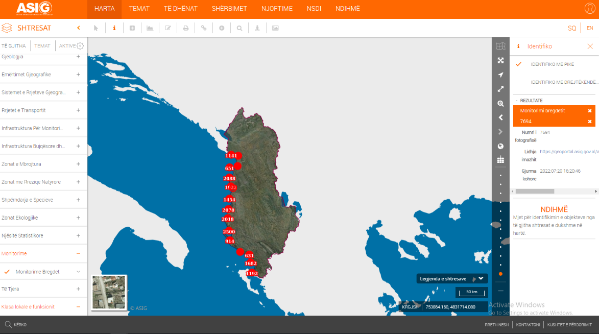
Photographing the coastline of the Republic of Albania with "UAV" technology. This data set will be used by the State Authority for Geospatial Information (ASIG) and the responsible public authority to monitor and control development along the coastline during the tourist season as well as for future control and development of the coastline. Since the mode of photography is the panoramic method it should be used for identification purposes and not for cartographic purposes.
Each photograph contains the date and time of image capture which you can consult by getting information at any point.
In the link below, you can find the helpful video tutorial on how to open data on the map.
Tutorial on coastal monitoring.