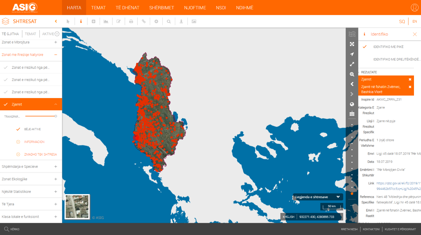
In the National Geoportal of State Authority for Geospatial Information (ASIG), geospatial information has been published for the "Fires" layer, of the topic: " Natural risk zones ".
ASIG in cooperation with the National Civil Defense Agency (AKMC), which is the public authority responsible for the topic: "Natural risk zones", has made it possible to publish this layer. The information made available by the AKMC is provided by the reporting of the prefectures to the National Operational Center for Civil Emergencies.
In this layer you can find information on the fires that occurred in the territory of the Republic of Albania during the period January-August 2022.
The data are in accordance with the standard approved by VKM no. 810, dated 21.10.2020, for the approval of the document "State Standards for Technical Specifications of Geospatial Information in Albania - Topic: "Natural risk zones".
https://geoportal.asig.gov.al/map/?fc_name=zonat_me_rreziqe_natyrore_zjarret&auto=true