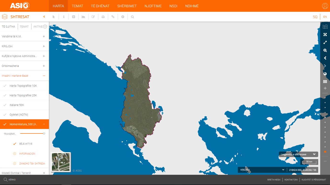
State Authority for Geospatial Information (ASIG), as the public authority responsible for the topic: "Base map image", has published in the National Geoportal the geospatial information for the layer, "Nomenclature 500 (AQTN)".
The data were created by ASIG, based on plans of scale 1: 500, obtained from the Central Technical Archive of Construction (AQTN), for the cities: Tirana, Durres, Kavaja, Rrogozhina, Shijak, Kruja, Vora, Shkodra, Lezha, Laç, Ballsh, Fier, Lushnje, Patos, Roskovec, Vlora.
These data are in conformity with the State Standard for Technical Specifications of Geospatial Information in Albania, topic: "Image of the basic map", approved by DCM no. 952, dated 2.12.2020.