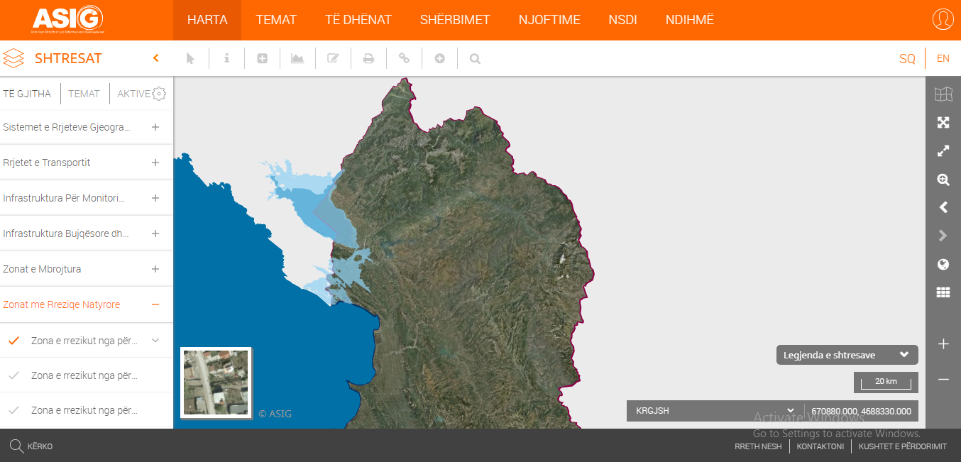
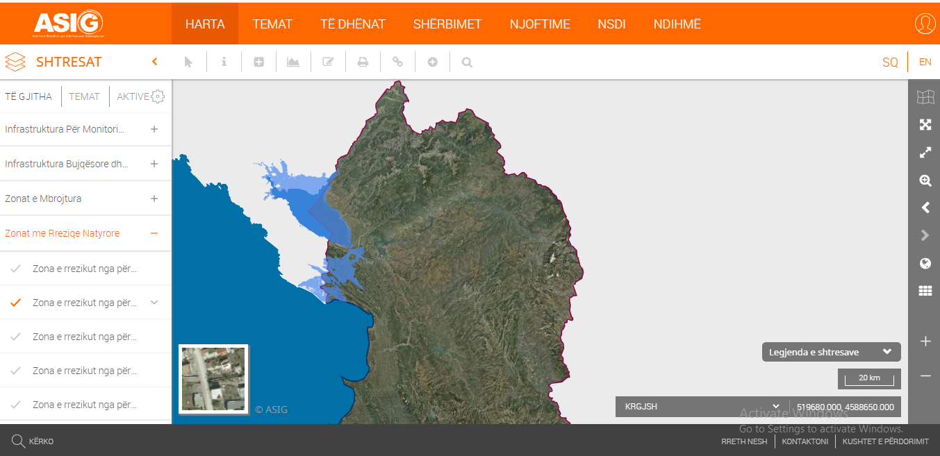
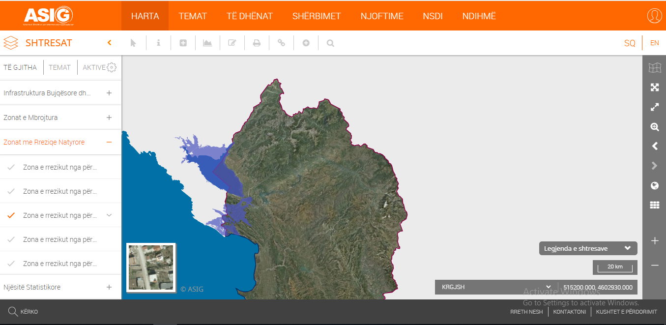
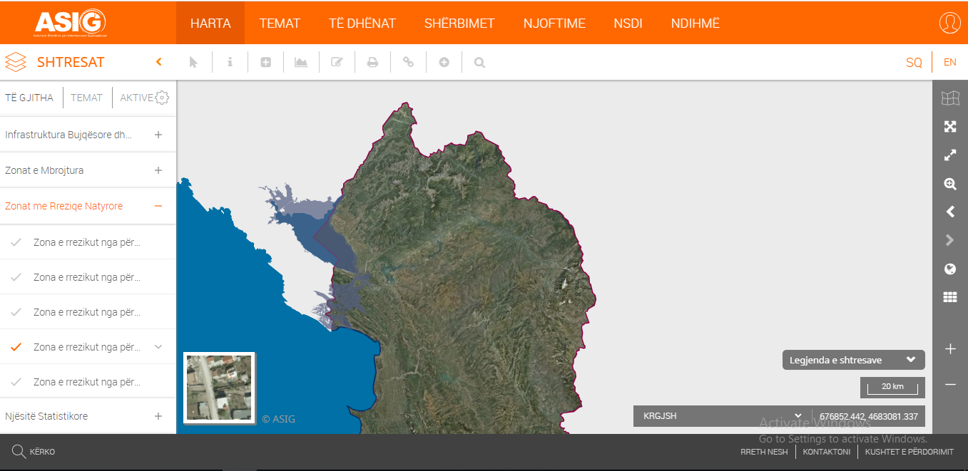
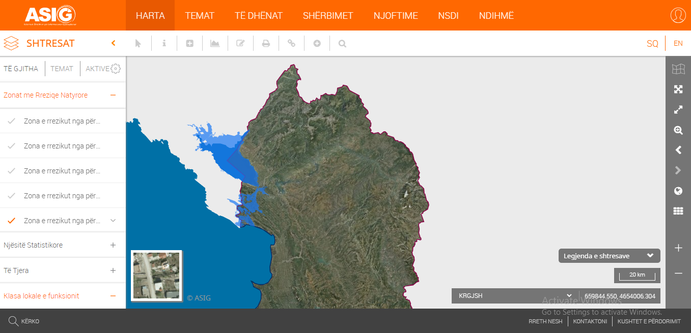
State Authority for Geospatial Information (ASIG) in cooperation with the Agency for Management of Water Resources, (AMBU) has published in its National Geoportal for the theme “Natural risk zones" the layers;
Flood Risk Zone with 0.2% probability
Flood Risk Zone with 0.5% probability
Flood Risk Zone with 1% probability
Flood Risk Zone with 2% probability
Flood Risk Zone with 10% probability
The published geospatial information for these layers presents maps of flood risk areas in the Drin-Buna basin depending on the recurrence periods.
The published data are in conformity with the State Standard for Technical Specifications of Geospatial Information in Albania on the theme "Natural risk zones".