At the Albanian National Geoportal, you can find published the Orthophoto of 1999 and the Orthophoto of 2001, elaborated by the State Authority for Geospatial Information, ASIG, as the public authority responsible for the topic "Orthoimagery".
The 1999 orthophoto covers an area of approximately 5989 km2, for the area covered by aerial photography scanned images taken in 1999, and has an average photography scale of 1: 15000.
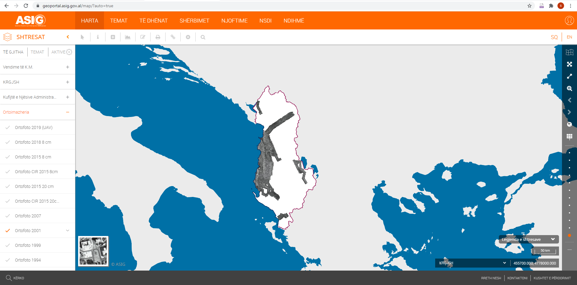
The orthophoto of 2001 covers an area of about 3373 km2, the product of this orthophoto is in panchromatic format (black and white), for the area covered by scanned images of aerial photography, taken in 2001, and has an average degree of photography 1: 10000, following the procedure of scanning aerial photographs.
Orthophoto 1999 and Orthophoto 2001 are produced in GEOTIFF format, in the Geodetic Reference System (KRGJSH), according to the Decision of the Council of Ministers no. 669, dated 07.08.2013, as amended, and their data are in conformity with the standard approved by DCM no. 397, dated 19.06.2019, for the approval of the document "State Standards for Technical Specifications of Geospatial Information in Albania - Topic: Orthoimagery"
The geospatial information obtained from these orthophotos will help to improve the cadastral data of the properties, which are essential for investments in the economic development of the country and the legal security of the property, providing valuable information for the implementation of Decision no. 442, dated 18.07.2018, of the Council of Ministers "On determining the procedure of transfer of ownership and registration of immovable property, built until 10.08.1991 and their functional land".