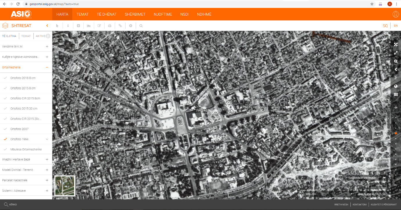
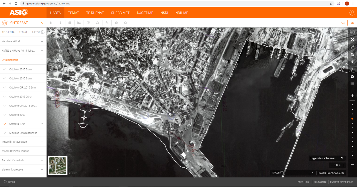
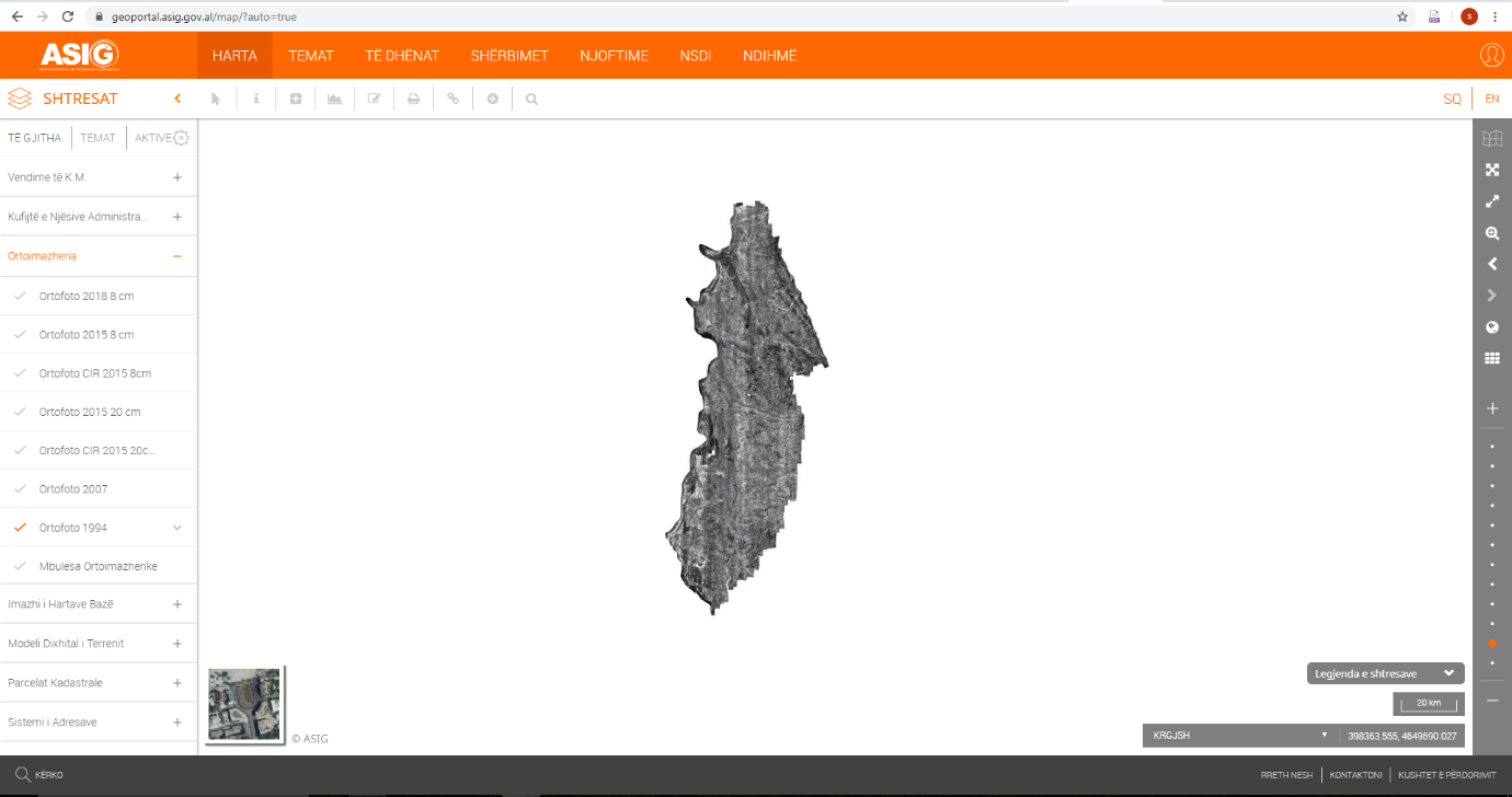
The State Authority for Geospatial Information, ASIG, as the public authority responsible for the topic "Orthoimagery" has implemented and published in the National Geoportal the 1994 Orthophoto, for the area of Western Lowland of Albania, covering an area of 4591 km2.
This orthophoto is produced in the GEOTIFF format, in the Geodetic Reference System of KRGJSH, based on the definitions of the Council of Ministers Decision No. 669, dated on 07/08/2013, as amended. The orthophoto product is in a panchromatic format (black and white) for the area covered by the scanned images of aerial photography of the Year 1994, taken in the period April - July 1994, and has a medium-scale photography of 1: 10000, following the procedure of aerial photo scanning (about 4200 aerial photographs). In the scanning process were used semi-professional scanners to scan copies of this photography printed on medium - scale paper 1: 10000.
The aerial photography was carried out by the Italian company “CGR srl” Parma, Italy, on behalf of the Albanian Government, represented by the office of the Phare Program-PMU / IPRS (Project Management Unit / Immovable Property Registration System) in the Ministry of Agriculture.
The geospatial information obtained from this orthophoto will help to improve the cadastral property records, which are essential for the investments of the country's economic development, legal security of property and for the implementation of Decision No. 442, dated on 18.7.2018, of the Council of Ministers "For defining the procedure of transfer of ownership and the registration of immovable property, built up to 10.8.1991 and their functional land".