The State Authority for Geospatial Information (ASIG), in cooperation with the Water Resources Management Agency (AMBU) which is the public authority responsible for the theme "Hydrography", has published in the National Geoportal, geospatial information on layers:
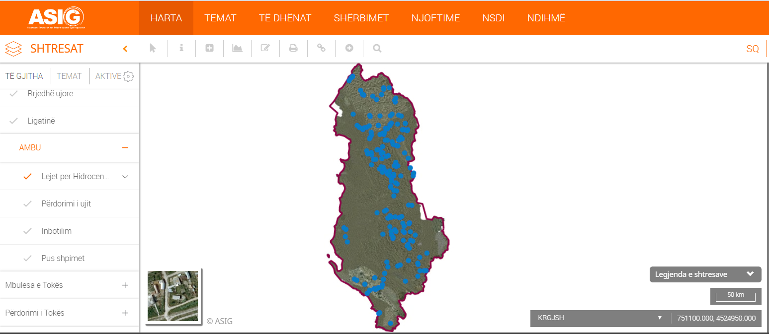
“Hydropower Permits” where you can take information on the given permits issued by Water Basin Councils on the use of water resources for hydropower generation through HEC;
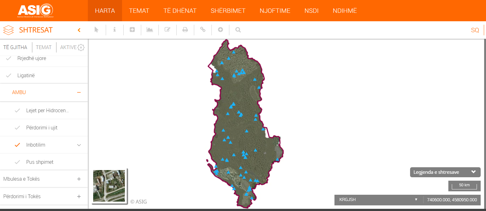
"Inbotilization" (trading of bottled water) where you can take information on the given permits by the Water Basin Councils on the use of water resources for the marketing of bottled water;
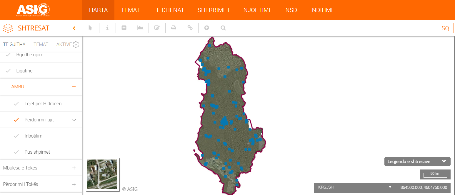
"Water use" where you can take information on the given permits issued by Water Basin Councils for other water uses (potable water, technological, sanitary, aquaculture, agriculture);
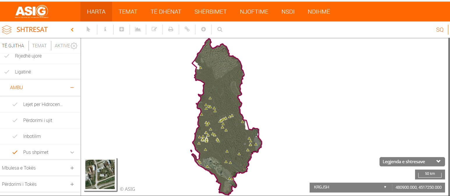
"Well drilling" where you can take information on permits issued by Water Basin Councils for the use of water resources by well drilling.
https://geoportal.asig.gov.al/map/?fc_name=hec&auto=true
https://geoportal.asig.gov.al/map/?fc_name=inbotilim&auto=true
https://geoportal.asig.gov.al/map/?fc_name=perdorimi_ujit&auto=true
https://geoportal.asig.gov.al/map/?fc_name=pus_shpime&auto=true