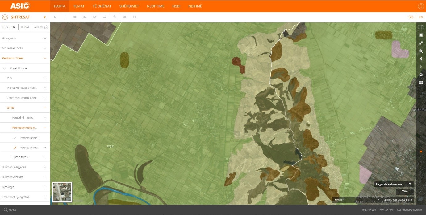
State Authority for Geospatial Information (ASIG) in cooperation with the Agricultural Technology Transfer Center (QTTB), for the theme "Land Use", has updated on the National Geoportal the geospatial information for the layers that are responsibility of the QTTB.
For more information click the following links:
https://geoportal.asig.gov.al/map/?fc_name=perdorim2016end&auto=true
https://geoportal.asig.gov.al/map/?fc_name=pershtatshmeria_2016&auto=true

