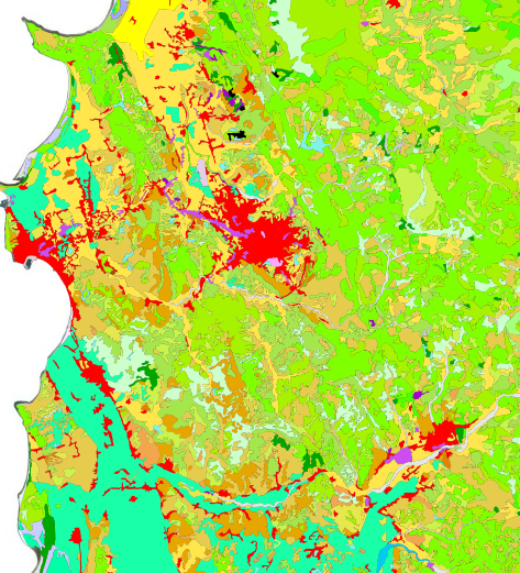
The State Geospatial Information Authority (ASIG) has published in the National Geoportal, in cooperation with the National Environment Agency, geospatial information on the "Corine 2018 Earth Coverage". The published information is one of the data sets produced under the "Corine Land Coverage" program, referring to the land cover, the status of its use in 2018.
For more information click in the link: https://geoportal.asig.gov.al/geonetwork/srv/alb/catalog.search?auto=true#/metadata/238bef95-dcf1-4e5b-bccb-7544903d2606.