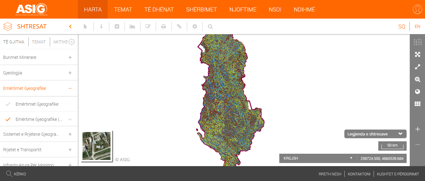
ASIG, in the role of the responsible public authority, has created and published in the National Geoportal Geospatial Information on the topic "Geographical Names". The published information is in full compliance with the standard approved by the DCM No. 142, dated 22.02.2017 "On the Approval of the National Standards for Technical Specifications of Geospatial Information in Albania - Topic:" Geographical Names "
The published information contains three categories of data which are:
- Official Settlements in the Republic of Albania (Towns-Villages). The total number of processed points for the entire territory of the Republic of Albania is 3056. The collected and processed information is obtained from maps of the Administrative Territorial Division of Local Government Units in the Republic of Albania of 2014..
- Relief, the total number of points processed for the entire territory of the Republic of Albania is 9926. The information for this category is collected from topographic maps of the scale 1:25 000, specified with maps of scale 1:10 000. The relief elements are divided into several types and appear in the attribute "TypeLocal" such as field, field, tail, shore, ribs, bushes, hooves, sides, fields, ditches, throats, flocks, shores,
- Hydrography - The total number of processed points for the entire territory of the Republic of Albania is 5157. The elements of this category are of several species and are presented in the attribute "TypeLocal" such as stream, lake, watershed, reservoir, river, channel etc.
The published information is very important and helps the users of the National Geoportal, Public Institutions, Businesses and Citizens and combined with the information on other topics of geoinformation creates an added value of the National Infrastructure of Geospatial Information in Albania.
For more information click on the link:
https://geoportal.asig.gov.al/map/?fc_name=egj_total_krgjsh_asig&auto=true