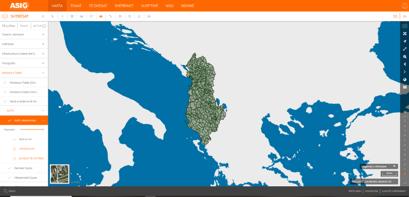
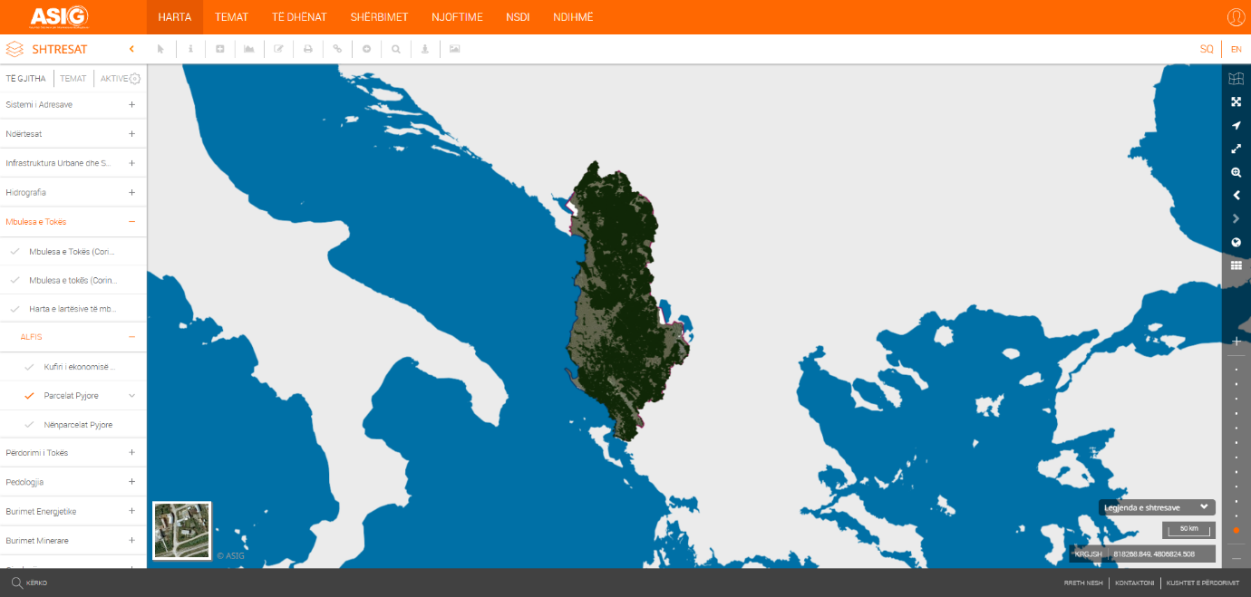
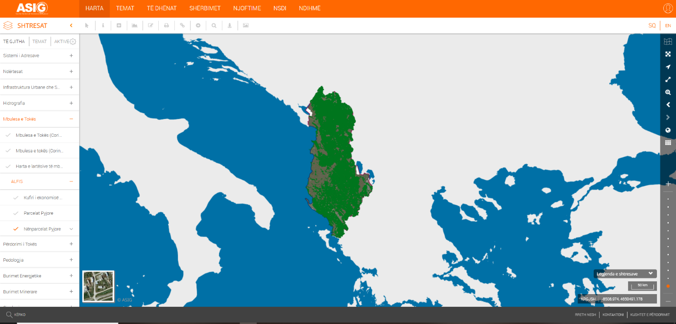
State Authority for Geospatial Information (ASIG) in collaboration with the National Forestry Agency (AKP), has published on the National Geoportal the layers of the theme “Land Cover” as follows;
- “Forest Economy Boundary”,
- “Forest Parcel”,
- “Sub-Forest Parcel”.
The data for these layers are based on the information generated by the Albanian Forest Information System (ALFIS) established within the framework of the Environmental Services Project, with funding from the World Bank.
The published geospatial information was realized by the digitization and registration of forests and pastures in the years 2018-2020, in the ALFIS system, within the framework of this project.
The data are in accordance with the state standard for technical specifications of geospatial information in Albania, approved by Council of Ministers No. 809, dated 21.10.2020, on the theme "Land Cover".