State Authority for Geospatial Information (ASIG) has published on the National Geoportal in cooperation with the Water Resources Management Agency (AMBU), the geospatial data set “Ecological Status”, on the topic “Hydrography”.
These data were generated from the River Basin Management Plans (RBMP) Ishëm and Erzen, approved respectively by Council of Ministers No. 624, dated 08.11.2023, for the River Basin Management Plans (RBMP) Ishëm 2024-2029 and Council of Ministers No. 623, dated 08.11.2023, for the River Basin Management Plans (RBMP) Erzen 2024-2029.
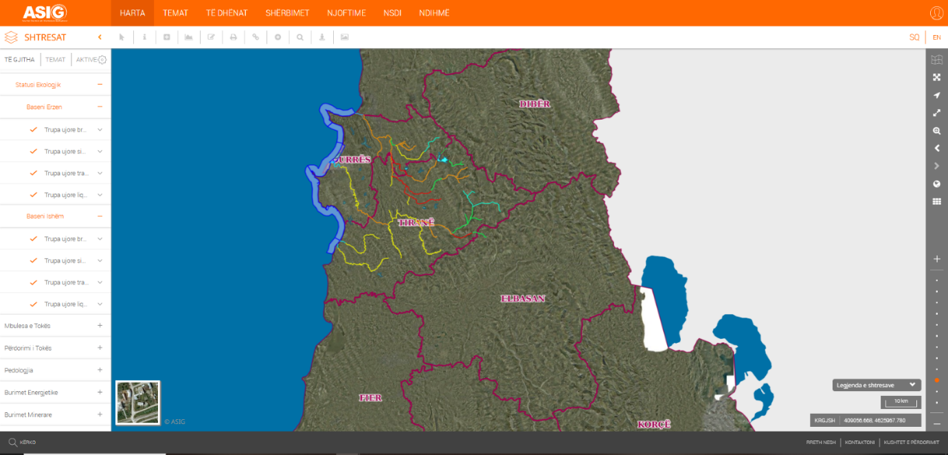
These data represent the ecological status of surface water bodies, in the classification of the ecological status of water bodies, colors are used to visually present the level of quality and the degree of human impact on the waters. They help to quickly understand the status, especially in maps and reports of the PMBU.
The data are in conformity with the standard with the Council of Ministers No. 829, dated 07.10.2015, for the approval of the document “State Standards for Technical Specifications of the Geospatial Information Infrastructure in Albania - Topic: “Hydrography””.