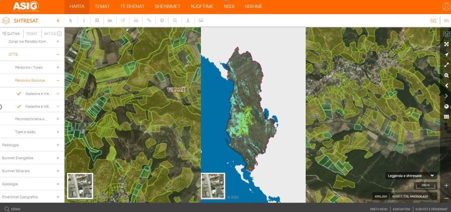
State Authority for Geospatial Information (ASIG) in collaboration with the Agricultural Technology Transfer Center (QTTB), which is the public authority responsible for the theme “Land Use”, has published on the National Geoportal the geospatial information for the layers:
Vineyard Cadastre,
Olive Cadastre.
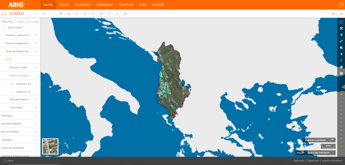
The “Vineyard Cadastre” layer is a system consisting of standardized geographic and textual data for the identification, registration and monitoring of all areas cultivated with vineyards within the territory of Albania. Through these data, it is intended to assist the development and management of the viticulture sector through production control, planning of support policies (subsidies), as well as guaranteeing food security through certification of geographical origin.
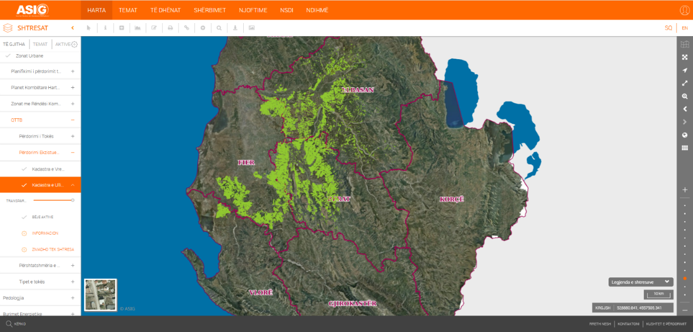
The “Olive Cadastre” layer is a system that consists of standardized geographic and textual data for the identification, registration and monitoring of all olive-cultivated areas within the territory of Albania, specifically for the municipalities of: Elbasan, Peqin, Lushnje, Belsh, Cërrik, Gramsh, Kuçovë, Dimal, Roskovec, Fier, Vlorë, Mallakastër, Berat and Poliçan.
Through these data, the aim is to monitor the national olive potential, determine the areas of quality olive oil production, and create an integrated administration and fiscal control and management system for this sector.