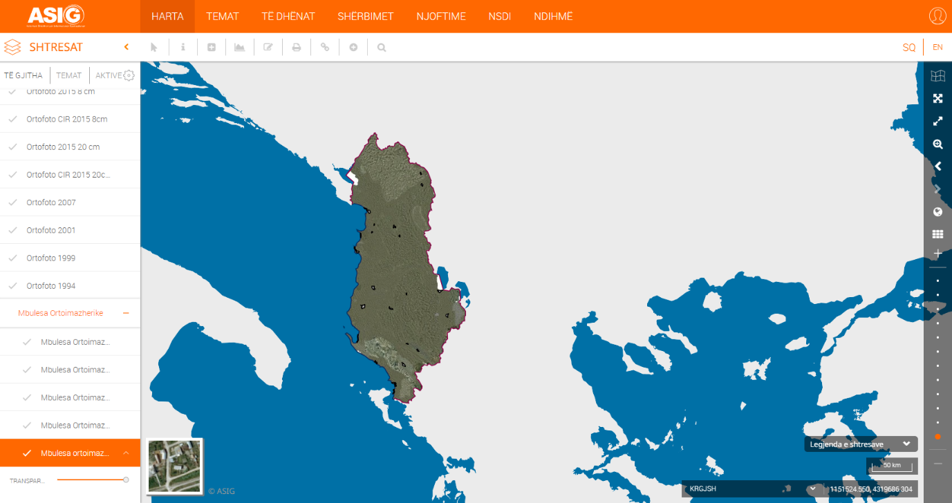
State Authority for Geospatial Information (ASIG), as a public authority responsible for the theme: "Orthoimagery", has published in the National Geoportal the geospatial information "Orthoimagery Coverage 2019 (UAV)".
The orthoimagery cover of orthophoto 2019 (UAV) is a product of photography with Dron UAV technology (Unmanned Aerial Vehicle), in 24 urban areas.
Geospatial data for this layer are in conformity with the State Standard for Technical Specifications of Geospatial Information in Albania - Topic: "Orthoimagery", approved by DCM no. 397, dated 19.06.2019.