You can filter information by typing keywords in dialog box above.
Decisions of KM
Area of Important Strategic investment (Image)The map is defined by the decision of K.M, No.138, dated 23.02.2018.  view on mapview in cataloguelinks
view on mapview in cataloguelinksArea of Important Strategic investment (Image)
WMTS Linkhttps://geoportal.asig.gov.al/service/wmts?request=GetCapabilities
DCM No. 145, dated 06.03.2025, Urban Architectural Ensemble of Peshkopi The coverage area of the Urban Architectural Ensemble of the city of Peshkopi defines the area approved by the Decision of the Council of Ministers, no. 145, dated 06.03.2025  view on mapview in cataloguelinks
view on mapview in cataloguelinksDCM No. 145, dated 06.03.2025, Urban Architectural Ensemble of Peshkopi
wmshttps://geoportal.asig.gov.al/service/sherbime_qeveritare/wms?request=GetCapabilities
V.K.M Nr. 637, Zona Arkeologjike A e Gradishtës së SelcësDCM No. 637, Archaeological Area A of Gradishta SelceThe coverage area of the "Archaeological Zone" of Gradishta Selce, Pogradec Municipality defines the area approved by the Decision of the Council of Ministers, no. 637, date, 15.11.2023...  view on mapview in cataloguelinks
view on mapview in cataloguelinksV.K.M Nr. 637, Zona Arkeologjike A e Gradishtës së SelcësDCM No. 637, Archaeological Area A of Gradishta Selce
https://geoportal.asig.gov.al/service/sherbime_qeveritare/wms?request=GetCapabilities
DCM No. 637, Archaeological Area A of Gradishta Selce(zoning)The coverage area of the "Archaeological Zone" of Gradishta Selce, Pogradec Municipality defines the area approved by the Decision of the Council of Ministers, no. 637, date, 15.11.2023...  view on mapview in cataloguelinks
view on mapview in cataloguelinksDCM No. 637, Archaeological Area A of Gradishta Selce(zoning)
wmshttps://geoportal.asig.gov.al/service/sherbime_qeveritare/wms?request=GetCapabilities
DCM No. 730 Dt. 13.12.2023, Archaeological Areas A and B of the Lëkurës Castle(zoning)The coverage area of the "Historical Center" of the city of Sarandë, the Castle of Lëkurës and the Monastery of the 40 Saints defines the area approved by the Decision of the Council of Ministers, no. 730, date, 13.12.2023,  view on mapview in cataloguelinks
view on mapview in cataloguelinksDCM No. 730 Dt. 13.12.2023, Archaeological Areas A and B of the Lëkurës Castle(zoning)
wmshttps://geoportal.asig.gov.al/service/sherbime_qeveritare/wms?request=GetCapabilities
DCM No. 730 Dt. 13.12.2023, Archaeological Areas A and B of the Lëkurës CastleThe coverage area of the "Historical Center" of the city of Sarandë, the Castle of Lëkurës and the Monastery of the 40 Saints defines the area approved by the Decision of the Council of Ministers, no. 730, date, 13.12.2023,  view on mapview in cataloguelinks
view on mapview in cataloguelinksDCM No. 730 Dt. 13.12.2023, Archaeological Areas A and B of the Lëkurës Castle
wmshttps://geoportal.asig.gov.al/service/sherbime_qeveritare/wms?request=GetCapabilities
DCM no. 285, date 17.04.2026, Zone A, Ancient City of OrikutThe Orikum Archaeological Zone defines the area approved by the Decision of the Council of Ministers, No. 285, dated 17.04.2026.  view on mapview in cataloguelinks
view on mapview in cataloguelinksDCM no. 285, date 17.04.2026, Zone A, Ancient City of Orikut
wmshttps://geoportal.asig.gov.al/service/sherbime_qeveritare/wms?request=GetCapabilities
DCM No. 285, dated 17.04.2026, Zone B, Area with Archaeological Potential Orikum (Zoning)The Orikum Archaeological Zone defines the area approved by the Decision of the Council of Ministers, No. 285, dated 17.04.2026.  view on mapview in cataloguelinks
view on mapview in cataloguelinksDCM No. 285, dated 17.04.2026, Zone B, Area with Archaeological Potential Orikum (Zoning)
wmshttps://geoportal.asig.gov.al/service/sherbime_qeveritare/wms?request=GetCapabilities
Administrative - Territorial Boundaries (Image)Administrative division at the level of local self-government unit. The published information presents the updated map of the administrative-territorial boundaries of the local self-gov  view on mapview in cataloguelinks
view on mapview in cataloguelinksAdministrative - Territorial Boundaries (Image)
WMS Linkhttps://geoportal.asig.gov.al/service/wmts?request=GetCapabilities
Agricultural Land for Rent Geographical and agronomic data of agricultural land parcels leased by the Ministry of Agriculture. 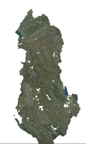 view on mapview in cataloguelinks
view on mapview in cataloguelinksAgricultural Land for Rent
WMS Linkhttps://geoportal.asig.gov.al/service/sherbime_qeveritare/wms?request=getcapabilities
DCM No. 285, dated 17.04.2026, Zone B, Area with Archaeological Potential OrikumThe Orikum Archaeological Zone defines the area approved by the Decision of the Council of Ministers, No. 285, dated 17.04.2026. 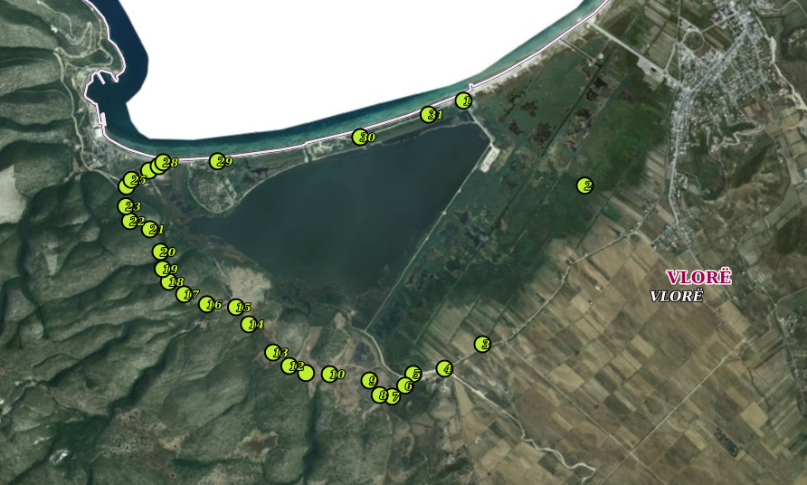 view on mapview in cataloguelinks
view on mapview in cataloguelinksDCM No. 285, dated 17.04.2026, Zone B, Area with Archaeological Potential Orikum
wmshttps://geoportal.asig.gov.al/service/sherbime_qeveritare/wms?request=GetCapabilities
DCM No. 284, dated 17.04.2026, Archaeological Zone A, Bushat (Zoning)The coverage area of Archaeological Zone "A" defines the area approved by the Decision of the Council of Ministers, No. 284, dated 17.04.2026. 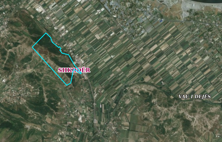 view on mapview in cataloguelinks
view on mapview in cataloguelinksDCM No. 284, dated 17.04.2026, Archaeological Zone A, Bushat (Zoning)
wmshttps://geoportal.asig.gov.al/service/sherbime_qeveritare/wms?request=GetCapabilities
DCM no. 284, date 17.04.2026, Archaeological Zone A, BushatThe coverage area of Archaeological Zone "A" defines the area approved by the Decision of the Council of Ministers, No. 284, dated 17.04.2026. 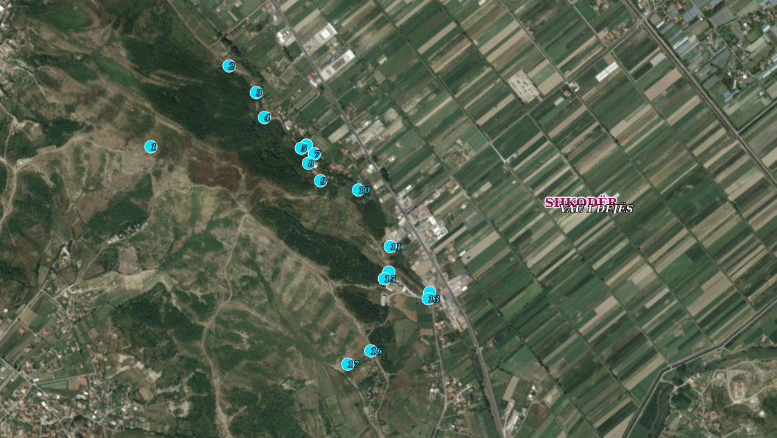 view on mapview in cataloguelinks
view on mapview in cataloguelinksDCM no. 284, date 17.04.2026, Archaeological Zone A, Bushat
wmshttps://geoportal.asig.gov.al/service/sherbime_qeveritare/wms?request=GetCapabilities
DCM No. 282, date 17.04.2026, Klos Archaeological ZoneThe Klos Archaeological Park defines the area approved by the Decision of the Council of Ministers, no. 282, dated 17.04.2026. 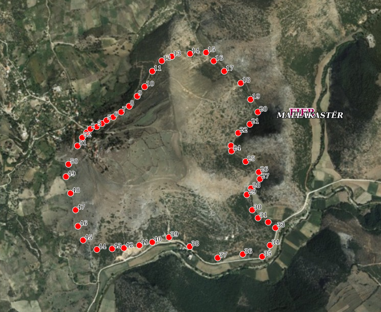 view on mapview in cataloguelinks
view on mapview in cataloguelinksDCM No. 282, date 17.04.2026, Klos Archaeological Zone
wmshttps://geoportal.asig.gov.al/service/sherbime_qeveritare/wms?request=GetCapabilities
DCM No. 282, dated 17.04.2026, Klos Archaeological Zone (Zoning)The Klos Archaeological Park defines the area approved by the Decision of the Council of Ministers, no. 282, dated 17.04.2026. 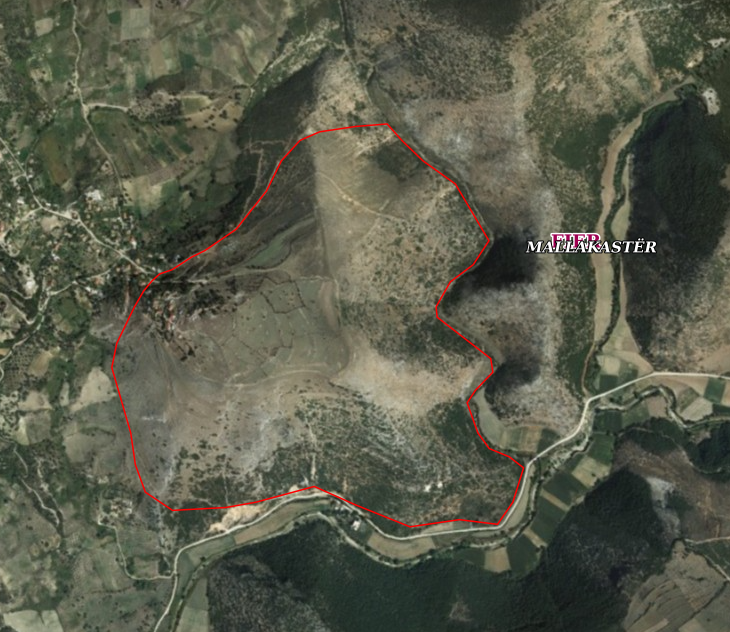 view on mapview in cataloguelinks
view on mapview in cataloguelinksDCM No. 282, dated 17.04.2026, Klos Archaeological Zone (Zoning)
wmshttps://geoportal.asig.gov.al/service/sherbime_qeveritare/wms?request=GetCapabilities
D.C.M No. 643 Dt. 16.10.2024, Archaeological Zones 'A' and 'B' of the city of Elbasan (Zoning)The coverage area of Archaeological Zones 'A' and 'B' of the city of Elbasan defines the area approved by V.K.M, no. 643, dated 16.10.2024, for the declaration of cultural heritage of Archaeological Zones 'A' and 'B' of the city of Elbasan. 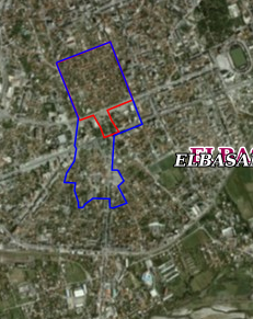 view on mapview in cataloguelinks
view on mapview in cataloguelinksD.C.M No. 643 Dt. 16.10.2024, Archaeological Zones 'A' and 'B' of the city of Elbasan (Zoning)
WMShttps://geoportal.asig.gov.al/service/sherbime_qeveritare/wms?request=GetCapabilities
D.C.M No. 643 Dt. 16.10.2024, Archaeological Zones 'A' and 'B' of the city of ElbasanZona e mbulimit të Zonave Arkeologjike 'A' dhe 'B' të qytetit të Elbasanit përcakton zonën e miratuar me V.K.M, nr. 643, datë 16.10.2024, Për deklarimin pasuri kulturore të Zonave Arkeologjike 'A' dhe 'B' të qytetit të Elbasanit. 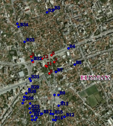 view on mapview in cataloguelinks
view on mapview in cataloguelinksD.C.M No. 643 Dt. 16.10.2024, Archaeological Zones 'A' and 'B' of the city of Elbasan
WMS Linkhttps://geoportal.asig.gov.al/service/sherbime_qeveritare/wms?request=GetCapabilities
VKM no. 644, dated 16.10.2024, Protection zone of the city of Elbasan (Zoning)The coverage area of the "Historical Center" of the city of Elbasan defines the area approved by the Decision of the Council of Ministers, no. 644, dated 16.10.2024, 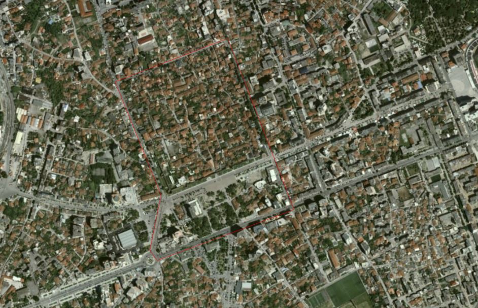 view on mapview in cataloguelinks
view on mapview in cataloguelinksVKM no. 644, dated 16.10.2024, Protection zone of the city of Elbasan (Zoning)
wmshttps://geoportal.asig.gov.al/service/sherbime_qeveritare/wms?request=GetCapabilities
V.K.M No. 644 Date 16.10.2024, Historical Center of the City of Elbasan (Zoning)The coverage area of the "Historical Center" of the city of Elbasan defines the area approved by V.K.M, no. 644, dated 16.10.2024, for the declaration of cultural heritage of the "Historical Center" of the city of Elbasan. 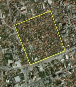 view on mapview in cataloguelinks
view on mapview in cataloguelinksV.K.M No. 644 Date 16.10.2024, Historical Center of the City of Elbasan (Zoning)
V.K.M No. 644 Dt. 16.10.2024, Protection zone of the city of ElbasanThe coverage area of the "Historical Center" of the city of Elbasan defines the area approved by the Decision of the Council of Ministers, no. 644, dated 16.10.2024,  view on mapview in cataloguelinks
view on mapview in cataloguelinksV.K.M No. 644 Dt. 16.10.2024, Protection zone of the city of Elbasan
wmshttps://geoportal.asig.gov.al/service/sherbime_qeveritare/wms?request=GetCapabilities
Kaninë village protection zone - Zone II / 2Map determined by DCM no. 729, dated 16.09.2020, on the protection zone II / 2, of the village Kaninë  view on mapview in cataloguelinks
view on mapview in cataloguelinksKaninë village protection zone - Zone II / 2
WMS Linkhttps://geoportal.asig.gov.al/service/wms
DCM no. 771, dated 30.09.2020, the historical center of the city of Shkodra (Image).Based on the DCM no. 771, dated 30.09.2020, the declaration of cultural assets "Historic Center" of the City of Shkodra, the definition of its Protection Zone and the approval of the plan for their preservation, protection and administration. 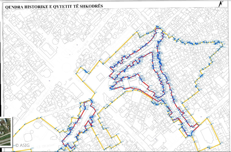 view on mapview in cataloguelinks
view on mapview in cataloguelinksDCM no. 771, dated 30.09.2020, the historical center of the city of Shkodra (Image).
wmtshttps://geoportal.asig.gov.al/service/sherbime_qeveritare/wms?request=GetCapabilities
VKM no. 788, dated 18.12.2024, Archaeological Areas A and B of the city of Shkodra (Zoning)The coverage area of the Archaeological Areas 'A' and 'B' of the city of Shkodra defines the area approved by the Decision of the Council of Ministers, No. 788, dated 18.12.2024, for the declaration of "Immovable cultural property" of the Archaeological  view on mapview in cataloguelinks
view on mapview in cataloguelinksVKM no. 788, dated 18.12.2024, Archaeological Areas A and B of the city of Shkodra (Zoning)
wmshttps://geoportal.asig.gov.al/service/sherbime_qeveritare/wms?request=GetCapabilities
dcm no. 788, dated 18.12.2024, Archaeological Areas 'A' and 'B' of the city of ShkodraThe coverage area of the Archaeological Areas 'A' and 'B' of the city of Shkodra defines the area approved by the Decision of the Council of Ministers, No. 788, dated 18.12.2024, for the declaration of "Immovable cultural property" of the Archaeological  view on mapview in cataloguelinks
view on mapview in cataloguelinksdcm no. 788, dated 18.12.2024, Archaeological Areas 'A' and 'B' of the city of Shkodra
wmshttps://geoportal.asig.gov.al/service/sherbime_qeveritare/wms?request=GetCapabilities
VKM no. 789, dated 18.12.2024, Archaeological Areas 'A' and 'B' of the city of Vlora (Zoning).The coverage area of Archaeological Areas 'A' and 'B' of the city of Vlora defines the area approved by the Decision of the Council of Ministers, no. 789, dated 18.12.2024, on the declaration "Immovable cultural property" of Archaeological Areas  view on mapview in cataloguelinks
view on mapview in cataloguelinksVKM no. 789, dated 18.12.2024, Archaeological Areas 'A' and 'B' of the city of Vlora (Zoning).
wmshttps://geoportal.asig.gov.al/service/sherbime_qeveritare/wms?request=GetCapabilities
DCM no. 789, dated 18.12.2024, Archaeological Areas 'A' and 'B' of the city of VloraThe coverage area of Archaeological Areas 'A' and 'B' of the city of Vlora defines the area approved by the Decision of the Council of Ministers, no. 789, dated 18.12.2024, for the declaration "Immovable cultural property" of Archaeological Areas. 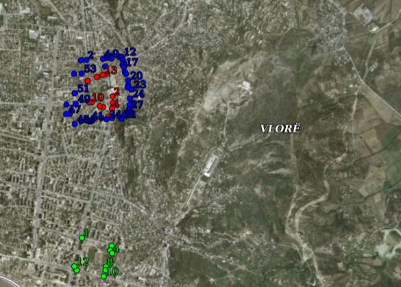 view on mapview in cataloguelinks
view on mapview in cataloguelinksDCM no. 789, dated 18.12.2024, Archaeological Areas 'A' and 'B' of the city of Vlora
wmshttps://geoportal.asig.gov.al/service/sherbime_qeveritare/wms?request=GetCapabilities
DCM no. 790, dated 18.12.2024, Underwater Archaeological Zone 'A' of Lin village in Pogradec (Zoning)The coverage area of the Underwater Archaeological Area 'A' of Lin village in Pogradec defines the area approved by the Decision of the Council of Ministers, no. 790, dated 18.12.2024, for the "Cultural Property" declaration of the Underwater Archaeolog 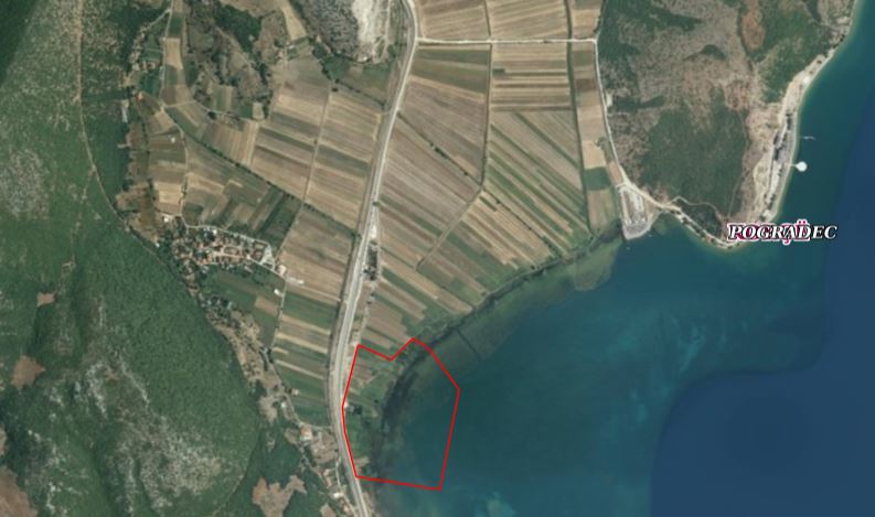 view on mapview in cataloguelinks
view on mapview in cataloguelinksDCM no. 790, dated 18.12.2024, Underwater Archaeological Zone 'A' of Lin village in Pogradec (Zoning)
wmshttps://geoportal.asig.gov.al/service/sherbime_qeveritare/wms?request=GetCapabilities
DCM no. 771, dated 30.09.2020, Protected area of the city of ShkodraBased on the DCM no. 771, dated 30.09.2020, the declaration of cultural assets "Historic Center" of the City of Shkodra, the definition of its Protection Zone and the approval of the plan for their preservation, protection and administration. 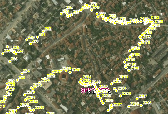 view on mapview in cataloguelinks
view on mapview in cataloguelinksDCM no. 771, dated 30.09.2020, Protected area of the city of Shkodra
wmshttps://geoportal.asig.gov.al/service/sherbime_qeveritare/wms?request=getcapabilities
DCM no. 771, dated 30.09.2020, the historical center of the city of ShkodraBased on the DCM no. 771, dated 30.09.2020, the declaration of cultural assets "Historic Center" of the City of Shkodra, the definition of its Protection Zone and the approval of the plan for their preservation, protection and administration. 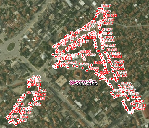 view on mapview in cataloguelinks
view on mapview in cataloguelinksDCM no. 771, dated 30.09.2020, the historical center of the city of Shkodra
wmshttps://geoportal.asig.gov.al/service/sherbime_qeveritare/wms?request=getcapabilities
D.C.M no. 149, date 06.03.2025-Cultivated AreaThe published areas define 10 cadastral zones approved by the Decision of the Council of Ministers, No. 149, dated 06.03.2025, "On the approval of cadastral zones in which the cultivation of the cannabis plant for industrial purposes is permitted". 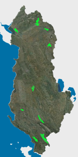 view on mapview in cataloguelinks
view on mapview in cataloguelinksD.C.M no. 149, date 06.03.2025-Cultivated Area
wmshttps://geoportal.asig.gov.al/service/mbzhrau/wms?request=GetCapabilities
VKM No. 120, dated 26.02.2025, Historical Center of the village of RabdishtëThe coverage area of the Historical Center of the village of Rabdisht defines the area approved by the Decision of the Council of Ministers, No. 120, dated 26.02.2025, On the declaration of immovable cultural property "Historical Center" of an area .. 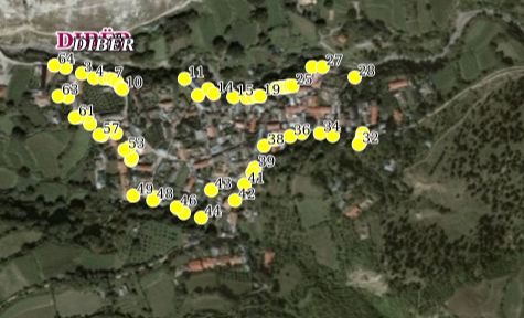 view on mapview in cataloguelinks
view on mapview in cataloguelinksVKM No. 120, dated 26.02.2025, Historical Center of the village of Rabdishtë
wmshttps://geoportal.asig.gov.al/service/sherbime_qeveritare/wms?request=GetCapabilities
VKM No. 120, dated 26.02.2025, Historical Center of Rabdishtë Village (Zoning)The coverage area of the Historical Center of the village of Rabdisht defines the area approved by the Decision of the Council of Ministers, No. 120, dated 26.02.2025, On the declaration of immovable cultural property "Historical Center" of an area in t 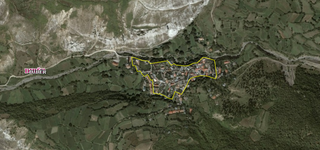 view on mapview in cataloguelinks
view on mapview in cataloguelinksVKM No. 120, dated 26.02.2025, Historical Center of Rabdishtë Village (Zoning)
https://geoportal.asig.gov.al/service/sherbime_qeveritare/wms?request=GetCapabilities
DCM No. 120, dated 26.02.2025, Rabdisht Protection Zone, PeshkopiThe coverage area of the Historical Center of the village of Rabdisht defines the area approved by the Decision of the Council of Ministers, No. 120, dated 26.02.2025, On the declaration of immovable cultural property "Historical Center" of an area in t 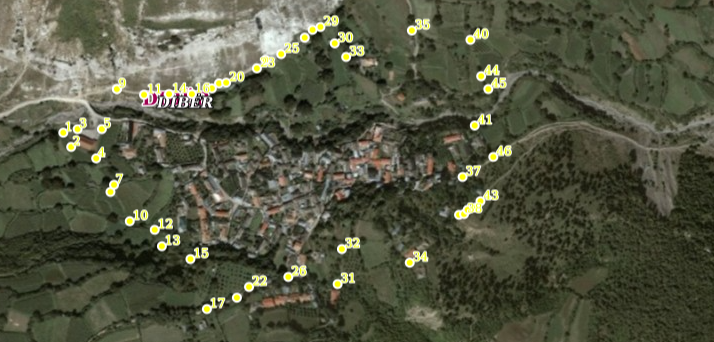 view on mapview in cataloguelinks
view on mapview in cataloguelinksDCM No. 120, dated 26.02.2025, Rabdisht Protection Zone, Peshkopi
wmshttps://geoportal.asig.gov.al/service/sherbime_qeveritare/wms?request=GetCapabilities
DCM No. 120, dated 26.02.2025, Rabdisht Protection Zone, Peshkopi, ZoningThe coverage area of the Historical Center of the village of Rabdisht defines the area approved by the Decision of the Council of Ministers, No. 120, dated 26.02.2025, On the declaration of immovable cultural property "Historical Center" of an area in 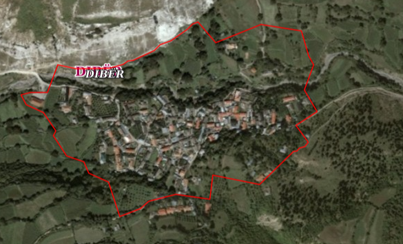 view on mapview in cataloguelinks
view on mapview in cataloguelinksDCM No. 120, dated 26.02.2025, Rabdisht Protection Zone, Peshkopi, Zoning
wmshttps://geoportal.asig.gov.al/service/sherbime_qeveritare/wms?request=GetCapabilities
DCM No. 145, dated 06.03.2025, Urban Architectural Ensemble of Peshkopi (Zoning)The coverage area of the Urban Architectural Ensemble of the city of Peshkopi defines the area approved by the Decision of the Council of Ministers, no. 145, dated 06.03.2025, 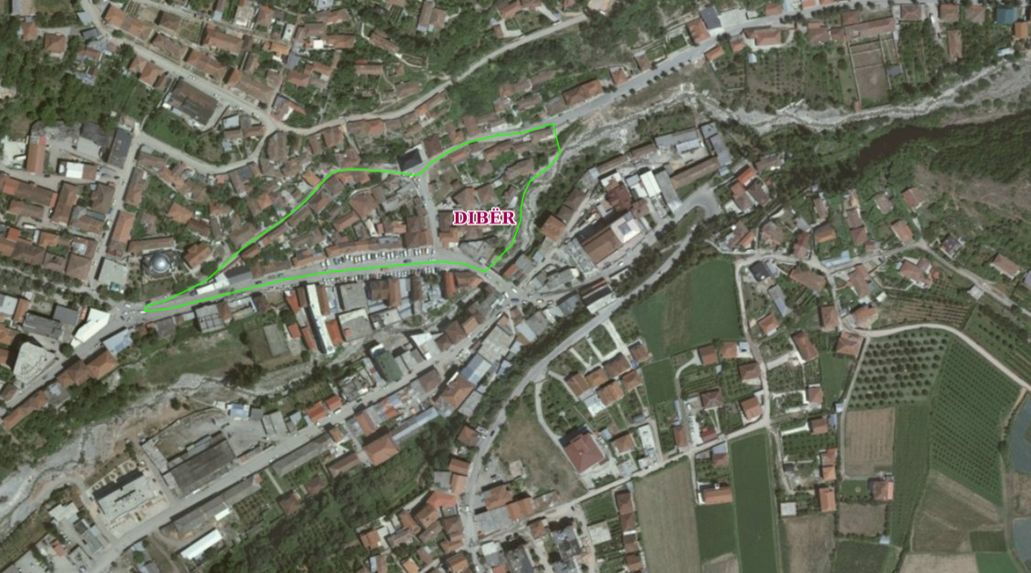 view on mapview in cataloguelinks
view on mapview in cataloguelinksDCM No. 145, dated 06.03.2025, Urban Architectural Ensemble of Peshkopi (Zoning)
wmshttps://geoportal.asig.gov.al/service/sherbime_qeveritare/wms?request=GetCapabilities
DCM No. 285, dated 17.04.2026, Zone A, Ancient City of Orikut (Zoning)The Orikum Archaeological Zone defines the area approved by the Decision of the Council of Ministers, No. 285, dated 17.04.2026.  view on mapview in cataloguelinks
view on mapview in cataloguelinksDCM No. 285, dated 17.04.2026, Zone A, Ancient City of Orikut (Zoning)
wmshttps://geoportal.asig.gov.al/service/sherbime_qeveritare/wms?request=GetCapabilities
DCM No. 145, dated 06.03.2025, "Urban Architectural Ensemble" Protection Zone (Zoning) PeshkopiThe coverage area of the Urban Architectural Ensemble of the city of Peshkopi defines the area approved by the Decision of the Council of Ministers, no. 145, dated 06.03.2025 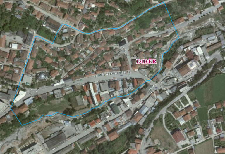 view on mapview in cataloguelinks
view on mapview in cataloguelinksDCM No. 145, dated 06.03.2025, "Urban Architectural Ensemble" Protection Zone (Zoning) Peshkopi
wmshttps://geoportal.asig.gov.al/service/sherbime_qeveritare/wms?request=GetCapabilities
DCM No. 145, dated 06.03.2025, "Urban Architectural Ensemble" Protection Zone PeshkopiThe coverage area of the Urban Architectural Ensemble of the city of Peshkopi defines the area approved by the Decision of the Council of Ministers, no. 145, dated 06.03.2025 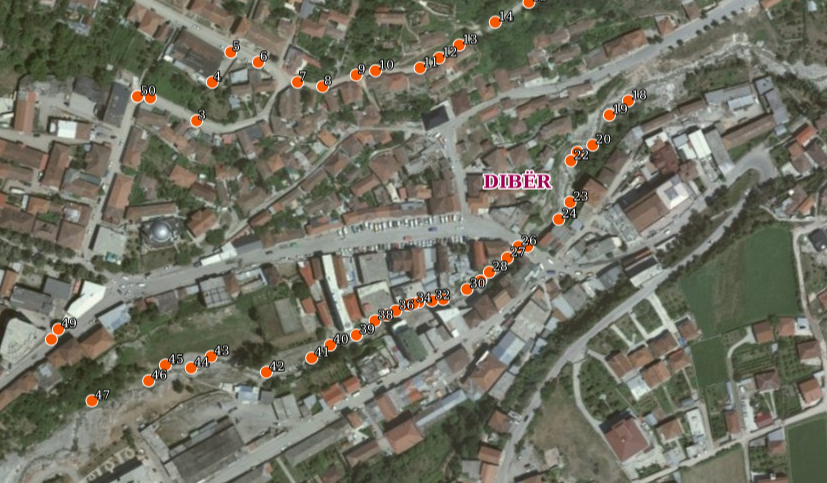 view on mapview in cataloguelinks
view on mapview in cataloguelinksDCM No. 145, dated 06.03.2025, "Urban Architectural Ensemble" Protection Zone Peshkopi
wmshttps://geoportal.asig.gov.al/service/sherbime_qeveritare/wms?request=GetCapabilities
DCM no. 204, dated on 04.04.2025, Archaeological Zones 'A' and 'B' of the city of Kruja (Zoning)The coverage area of Archaeological Zones 'A' and 'B' of the city of Kruja defines the area approved by the Decision of the Council of Ministers, no. 204, dated 04.04.2025 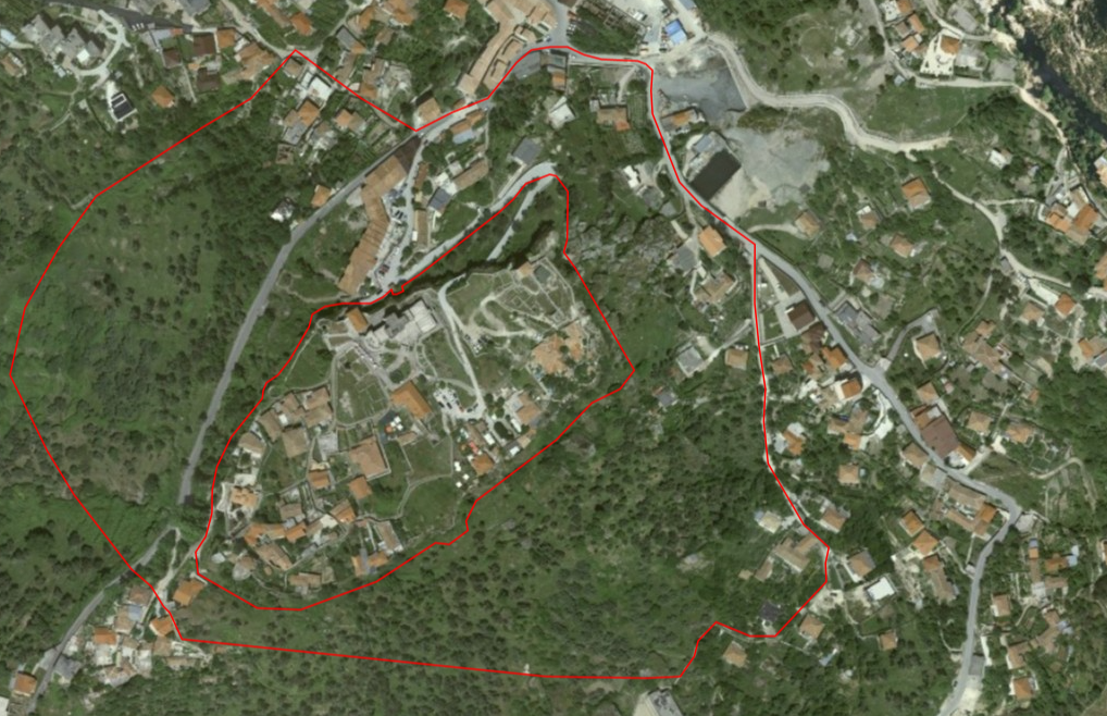 view on mapview in cataloguelinks
view on mapview in cataloguelinksDCM no. 204, dated on 04.04.2025, Archaeological Zones 'A' and 'B' of the city of Kruja (Zoning)
wmshttps://geoportal.asig.gov.al/service/sherbime_qeveritare/wms?request=GetCapabilities
DCM no. 204, dated on 04.04.2025, Archaeological Zones 'A' and 'B' of the city of KrujaThe coverage area of Archaeological Zones 'A' and 'B' of the city of Kruja defines the area approved by the Decision of the Council of Ministers, no. 204, dated 04.04.2025 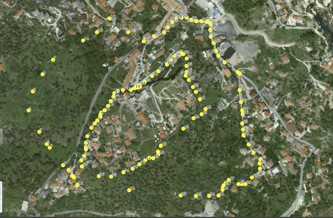 view on mapview in cataloguelinks
view on mapview in cataloguelinksDCM no. 204, dated on 04.04.2025, Archaeological Zones 'A' and 'B' of the city of Kruja
wmshttps://geoportal.asig.gov.al/service/sherbime_qeveritare/wms?request=GetCapabilities
VKM no. 832, dated 24.12.2021, Historic center of Bënjë village (Image). Based on the DCM no. 832, dated 24.12.2021, the declaration of cultural assets "Historic Center" of the village Bënjë, the definition of its Protection Zone and the approval of the plan for their preservation, protection and administration.  view on mapview in cataloguelinks
view on mapview in cataloguelinksVKM no. 832, dated 24.12.2021, Historic center of Bënjë village (Image).
WMS Linkhttps://geoportal.asig.gov.al/service/sherbime_qeveritare/wms?request=GetCapabilities
DCM no. 832, dated 24.12.2021, Protected area of Bënjë village.Based on the DCM no. 832, dated 24.12.2021, Declaration of cultural property "Historic Center" of Bënjë village, determination of its Protective Zone and approval of the plan for their preservation, protection and administration. 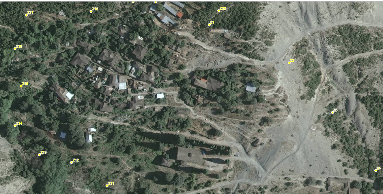 view on mapview in cataloguelinks
view on mapview in cataloguelinksDCM no. 832, dated 24.12.2021, Protected area of Bënjë village.
WMS Linkhttps://geoportal.asig.gov.al/service/sherbime_qeveritare/wms?request=getcapabilities
DCM no. 832, dated 24.12.2021, The historical center of Bënjë villageBased on the DCM no. 832, dated 24.12.2021, the declaration of cultural assets "Historic Center" of the village Bënjë, the definition of its Protection Zone and the approval of the plan for their preservation, protection and administration. 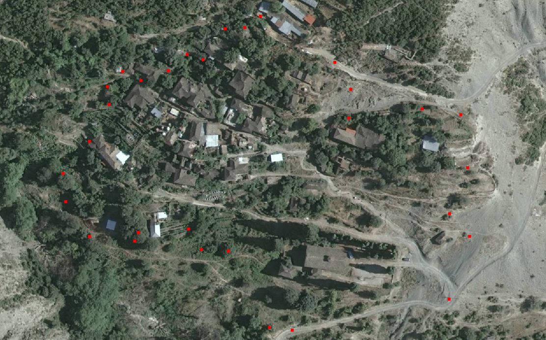 view on mapview in cataloguelinks
view on mapview in cataloguelinksDCM no. 832, dated 24.12.2021, The historical center of Bënjë village
WMS Linkhttps://geoportal.asig.gov.al/service/sherbime_qeveritare/wms?request=getcapabilities
DCM No. 458, dated 31.07.2025,Urban Architectural Ensemble, Konispol (Zoning)The coverage area of the Urban Architectural Ensemble of the city of Konispol defines the area approved by the Decision of the Council of Ministers, no. 458, dated 31.07.2025, On the declaration of immovable cultural property "Urban Architectural Ensemble 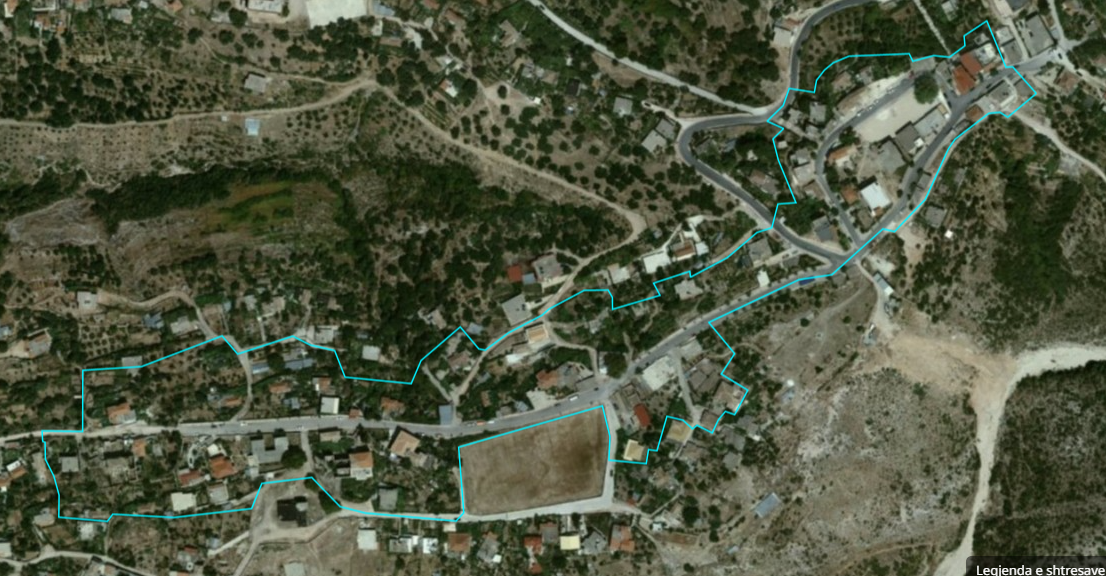 view on mapview in cataloguelinks
view on mapview in cataloguelinksDCM No. 458, dated 31.07.2025,Urban Architectural Ensemble, Konispol (Zoning)
wmshttps://geoportal.asig.gov.al/service/iktk/wms?request=GetCapabilities
DCM No. 458, dated 31.07.2025,Urban Architectural Ensemble, KonispolThe coverage area of the Urban Architectural Ensemble of the city of Konispol defines the area approved by the Decision of the Council of Ministers, no. 458, dated 31.07.2025, On the declaration of immovable cultural property "Urban Architectural Ensemble 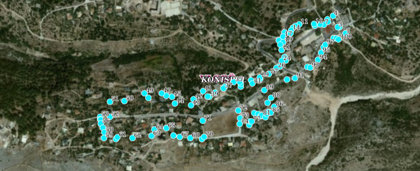 view on mapview in cataloguelinks
view on mapview in cataloguelinksDCM No. 458, dated 31.07.2025,Urban Architectural Ensemble, Konispol
wmshttps://geoportal.asig.gov.al/service/iktk/wms?request=GetCapabilities
DCM No. 458, dated 31.07.2025, Protective Zone of the "Urban Architectural Ensemble", Konispol (Zoning)The coverage area of the Urban Architectural Ensemble of the city of Konispol defines the area approved by the Decision of the Council of Ministers, no. 458, dated 31.07.2025, On the declaration of immovable cultural property "Urban Architectural Ensemble 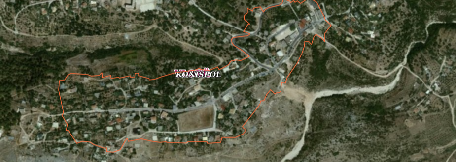 view on mapview in cataloguelinks
view on mapview in cataloguelinksDCM No. 458, dated 31.07.2025, Protective Zone of the "Urban Architectural Ensemble", Konispol (Zoning)
wmshttps://geoportal.asig.gov.al/service/iktk/wms?request=GetCapabilities
KKT Decision No. 4, dated 14.10.2020, Priority Areas for Tourism Development in the Territory of the Republic of AlbaniaPriority Areas for Tourism Development in the Territory of the Republic of Albania, referring to the Decision of the National Council of Territory No. 1, dated 26.07.20218 "On the declaration of 17 priority areas for tourism development in the territory 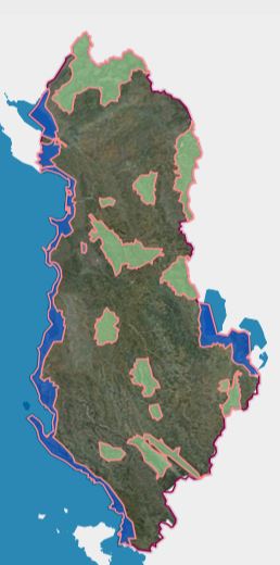 view on mapview in cataloguelinks
view on mapview in cataloguelinksKKT Decision No. 4, dated 14.10.2020, Priority Areas for Tourism Development in the Territory of the Republic of Albania
wmshttps://geoportal.asig.gov.al/service/sherbime_qeveritare/wms?request=GetCapabilities
Kaninë village protection zone - Zone II / 1Map determined by DCM no. 729, dated 16.09.2020, on the protection zone II / 1, of the village Kaninë. 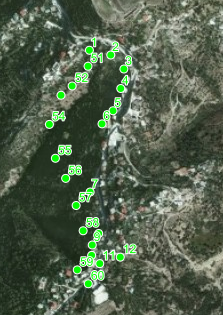 view on mapview in cataloguelinks
view on mapview in cataloguelinksKaninë village protection zone - Zone II / 1
WMS Linkhttps://geoportal.asig.gov.al/service/wms
DCM No. 282, date 17.04.2026, Bylis Archaeological ZoneThe Bylis Archaeological Park defines the area approved by the Decision of the Council of Ministers, No. 282, dated 17.04.2026. 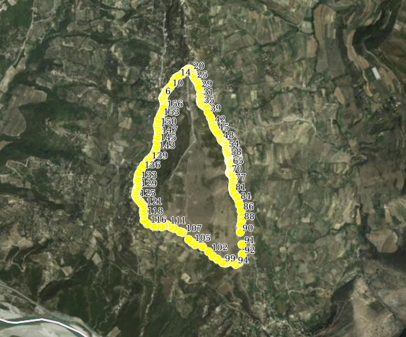 view on mapview in cataloguelinks
view on mapview in cataloguelinksDCM No. 282, date 17.04.2026, Bylis Archaeological Zone
wmshttps://geoportal.asig.gov.al/service/sherbime_qeveritare/wms?request=GetCapabilities
Kaninë village protection zone - Zone I / 3Map determined by DCM no. 729, dated 16.09.2020, on the protection zone I / 3, of Kaninë village. 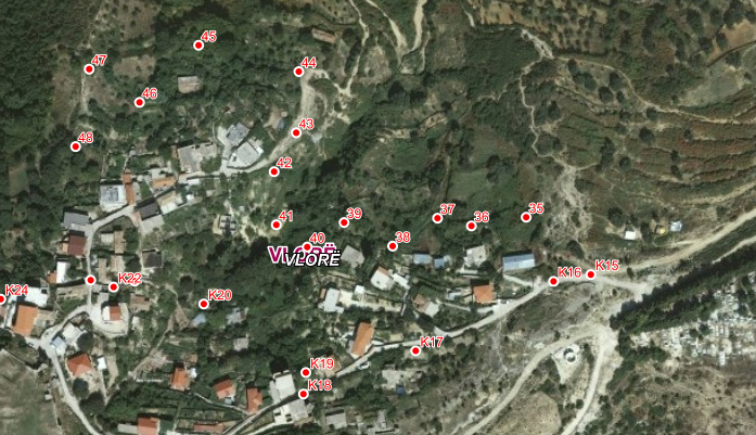 view on mapview in cataloguelinks
view on mapview in cataloguelinksKaninë village protection zone - Zone I / 3
WMS Linkhttps://geoportal.asig.gov.al/service/sherbime_qeveritare/wms?request=getcapabilities
Kaninë village protection zone - Zone I / 2Map determined by DCM no. 729, dated 16.09.2020, on the protection zone I / 2, of Kaninë village. 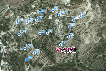 view on mapview in cataloguelinks
view on mapview in cataloguelinksKaninë village protection zone - Zone I / 2
WMS Linkhttps://geoportal.asig.gov.al/service/sherbime_qeveritare/wms?request=getcapabilities
DCM No. 282, dated 17.04.2026, Bylis Archaeological Zone (Zoning)The Bylis Archaeological Park defines the area approved by the Decision of the Council of Ministers, no. 282, dated 17.04.2026. 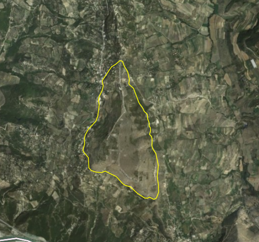 view on mapview in cataloguelinks
view on mapview in cataloguelinksDCM No. 282, dated 17.04.2026, Bylis Archaeological Zone (Zoning)
wmshttps://geoportal.asig.gov.al/service/sherbime_qeveritare/wms?request=GetCapabilities
The historical center of Kaninë village (image)Map determined by DCM no. 729, dated 16.09.2020, on the coverage area of the "Historic Center" of Kaninë village. 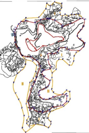 view on mapview in cataloguelinks
view on mapview in cataloguelinksThe historical center of Kaninë village (image)
WMTS linkhttps://geoportal.asig.gov.al/service/wmts?request=GetCapabilities
The historical center of Kaninë village Map determined by DCM no. 729, dated 16.09.2020, on the coverage area of the "Historic Center" of Kaninë village.  view on mapview in cataloguelinks
view on mapview in cataloguelinksThe historical center of Kaninë village
WMS Linkhttp://geoportal.asig.gov.al/service/sherbime_qeveritare/wms?
DCM No. 197, dated 26.03.2026, Urban Architectural Ensemble of the village of LinThe coverage area of the Urban Architectural Ensemble of the village of Lin defines the area approved by the Decision of the Council of Ministers, No. 197, dated 26.03.2026. 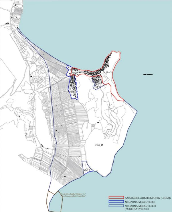 view on mapview in cataloguelinks
view on mapview in cataloguelinksDCM No. 197, dated 26.03.2026, Urban Architectural Ensemble of the village of Lin
wmshttps://geoportal.asig.gov.al/service/iktk/wms?request=GetCapabilities
Protected area of Kaninë village - Zone I/1Map determined by DCM no. 729, dated 16.09.2020, on the protection zone I / 1, I / 2, I / 3, II / 1 / II, 2 of Kaninë village.  view on mapview in cataloguelinks
view on mapview in cataloguelinksProtected area of Kaninë village - Zone I/1
WMS Linkhttp://geoportal.asig.gov.al/service/sherbime_qeveritare/wms?
The historical center of Kaninë village (zoning) Map determined by DCM no. 729, dated 16.09.2020, on the coverage area of the "Historic Center" of Kaninë village.  view on mapview in cataloguelinks
view on mapview in cataloguelinksThe historical center of Kaninë village (zoning)
WMS Linkhttp://geoportal.asig.gov.al/service/sherbime_qeveritare/wms?
Area of Important Strategic investmentThe map is defined by the decision of K.M, Nr.138, Date: 23.02.2018.  view on mapview in cataloguelinks
view on mapview in cataloguelinksArea of Important Strategic investment
WMS Linkhttps://geoportal.asig.gov.al/service/sherbime_qeveritare/wms?request=getcapabilities
Utility and governmental services
Public InstitutionsPozicionimi i objekteve të institucioneve publike, duke u nisur nga vendndodhjet e zyrave për të gjithë territorin e Republikës së Shqipërisë.  view on mapview in cataloguelinks
view on mapview in cataloguelinksPublic Institutions
WMS https://geoportal.asig.gov.al/service/sherbime_qeveritare/wms?request=getcapabilities
The Justice SystemPositioning of public institutions' facilities, starting from office locations for the entire territory of the Republic of Albania.  view on mapview in cataloguelinks
view on mapview in cataloguelinksThe Justice System
wmshttps://geoportal.asig.gov.al/service/sherbime_qeveritare/wms?request=getcapabilities
TSO- Transmission Line 110 kvData of 110 kV transmission lines of the Albanian Electric Power System under the administration of the Transmission System Operator.  view on mapview in cataloguelinks
view on mapview in cataloguelinksTSO- Transmission Line 110 kv
WMS Linkhttps://geoportal.asig.gov.al/service/sherbime_qeveritare/wms?request=getcapabilities
TSO- Transmission Line 154 kvData of 110 kV transmission lines of the Albanian Electric Power System under the administration of the Transmission System Operator. 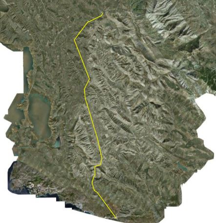 view on mapview in cataloguelinks
view on mapview in cataloguelinksTSO- Transmission Line 154 kv
WMS Linkhttps://geoportal.asig.gov.al/service/sherbime_qeveritare/wms?request=getcapabilities
TSO- Transmission Line 220 kvData of the 220 kV transmission lines of the Albanian Electric Power System under the administration of the Transmission System Operator.  view on mapview in cataloguelinks
view on mapview in cataloguelinksTSO- Transmission Line 220 kv
WMS Linkhttps://geoportal.asig.gov.al/service/sherbime_qeveritare/wms?request=getcapabilities
TSO- Transmission Line 400 kvData of the 400 kV transmission lines of the Albanian Electric Power System under the administration of the Transmission System Operator.  view on mapview in cataloguelinks
view on mapview in cataloguelinksTSO- Transmission Line 400 kv
WMS Linkhttps://geoportal.asig.gov.al/service/sherbime_qeveritare/wms?request=getcapabilities
Electrical substation 110 kvData of electrical substations 110 kV of the Albanian Power System under the administration of the Transmission System Operator.  view on mapview in cataloguelinks
view on mapview in cataloguelinksElectrical substation 110 kv
WMS Linkhttps://geoportal.asig.gov.al/service/sherbime_qeveritare/wms?request=getcapabilities
Electrical substation 220 - 400 kvData on electrical substations 220_400 kV of the Albanian Electric Power System under the administration of the Transmission System Operator. 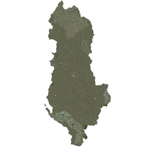 view on mapview in cataloguelinks
view on mapview in cataloguelinksElectrical substation 220 - 400 kv
WMS Linkhttps://geoportal.asig.gov.al/service/sherbime_qeveritare/wms?request=getcapabilities
OSSHE - Electric CabinsInformation on the location of low voltage electric cabins which are managed by the Electricity Distribution Operator (OSSHE). 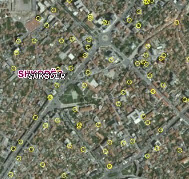 view on mapview in cataloguelinks
view on mapview in cataloguelinksOSSHE - Electric Cabins
WMS LInkhttps://geoportal.asig.gov.al/service/sherbime_qeveritare/wms?request=getcapabilities
AZHT,Acts of Conformity, 61 MunicipalitiesApplications reviewed by TDA for compliance with the legal basis of planning and Territorial Plans according to the hierarchy as well as with the sectoral legislation updated on 20.04.2021, which regulates and limits developments in the territory. 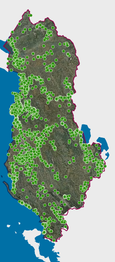 view on mapview in cataloguelinks
view on mapview in cataloguelinksAZHT,Acts of Conformity, 61 Municipalities
https://geoportal.asig.gov.al/service/sherbime_qeveritare/wms?request=getcapabilities
AZHT, Permits issued by KKTDecisions adopted by the National Council of the Territory for the period 2015-2020. The information was submitted by the Territorial Development Agency, with letter no. 1269/1 prot. dt. 22.04.2021. 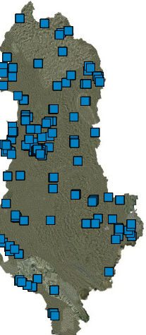 view on mapview in cataloguelinks
view on mapview in cataloguelinksAZHT, Permits issued by KKT
https://geoportal.asig.gov.al/service/sherbime_qeveritare/wms?request=getcapabilities
AZHT - Approved certificatesRDA, as the Secretariat of the NCC, issues a Certificate of Use after inspection for the completion of works and a positive evaluation of the act / control. 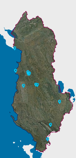 view on mapview in cataloguelinks
view on mapview in cataloguelinksAZHT - Approved certificates
https://geoportal.asig.gov.al/service/sherbime_qeveritare/wms?request=getcapabilities
AZHT - Certificates of use approved KKT, propertyRDA, as the Secretariat of the NCC, issues a Certificate of Use after inspection for the completion of works and a positive evaluation of the act / control.  view on mapview in cataloguelinks
view on mapview in cataloguelinksAZHT - Certificates of use approved KKT, property
https://geoportal.asig.gov.al/service/sherbime_qeveritare/wms?request=getcapabilities
AZHT - Trans Adriatik Pipeline, TAP200m of constraints of new developments in the territory.  view on mapview in cataloguelinks
AZHT - Trans Adriatik Pipeline, TAP
WMS Linkhttps://geoportal.asig.gov.al/service/sherbime_qeveritare/wms?
AKEP, Fiber Optical The transmission network of electronic communications, in aerial and terrestrial extension of the optical fiber type. 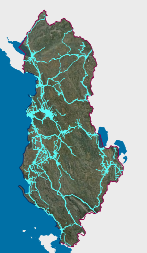 view on mapview in cataloguelinks
view on mapview in cataloguelinksAKEP, Fiber Optical
wmshttps://geoportal.asig.gov.al/service/sherbime_qeveritare/wms?request=GetCapabilities
AKEP, Bazament AnteneElectronic communications facilities that are used by electronic communications entrepreneurs that serve to place active equipment for transmission and the transmission network of electronic communications, in aerial and terrestrial extent.  view on mapview in cataloguelinks
view on mapview in cataloguelinksAKEP, Bazament Antene
wmshttps://geoportal.asig.gov.al/service/sherbime_qeveritare/wms?request=GetCapabilities
Public administation office, Dependence Institutions of Culture Ministry Positioning of public institutions' facilities, starting from office locations for the entire territory of the Republic of Albania. The Public Institutions layer contains information about central and local institutions  view on mapview in cataloguelinks
view on mapview in cataloguelinksPublic administation office, Dependence Institutions of Culture Ministry
wmshttps://geoportal.asig.gov.al/service/sherbime_qeveritare/wms?request=GetCapabilities
ALBGaz- Machine EquipmentThis pipeline network represents the natural gas transmission and distribution network in the Republic of Albania. 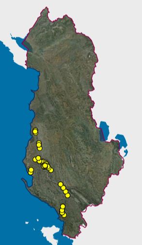 view on mapview in cataloguelinks
view on mapview in cataloguelinksALBGaz- Machine Equipment
wmshttps://geoportal.asig.gov.al/service/sherbime_qeveritare/wms?request=GetCapabilities
ALBGaz - Registration pointKy rrjet tubacionesh përfaqëson, rrjetin e transmetimit dhe shThis pipeline network represents the natural gas transmission and distribution network in the Republic of Albania.përndarjes së gazit natyror në Republikën e Shqipërisë.  view on mapview in cataloguelinks
view on mapview in cataloguelinksALBGaz - Registration point
wmshttps://geoportal.asig.gov.al/service/sherbime_qeveritare/wms?request=GetCapabilities
ALBGaz - WellsThis pipeline network represents the natural gas transmission and distribution network in the Republic of Albania.  view on mapview in cataloguelinks
view on mapview in cataloguelinksALBGaz - Wells
wmshttps://geoportal.asig.gov.al/service/sherbime_qeveritare/wms?request=GetCapabilities
ALBGaz - PipeThis pipeline network represents the natural gas transmission and distribution network in the Republic of Albania.  view on mapview in cataloguelinks
view on mapview in cataloguelinksALBGaz - Pipe
wmshttps://geoportal.asig.gov.al/service/sherbime_qeveritare/wms?request=GetCapabilities
ALBGaz- Station EquipmentThis pipeline network represents the natural gas transmission and distribution network in the Republic of Albania.  view on mapview in cataloguelinks
view on mapview in cataloguelinksALBGaz- Station Equipment
wmshttps://geoportal.asig.gov.al/service/sherbime_qeveritare/wms?request=GetCapabilities
ALBGaz - Station registration pointThis pipeline network represents the natural gas transmission and distribution network in the Republic of Albania. 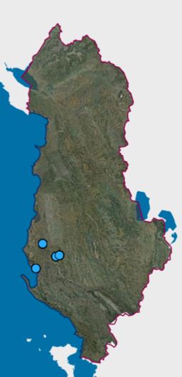 view on mapview in cataloguelinks
view on mapview in cataloguelinksALBGaz - Station registration point
wmshttps://geoportal.asig.gov.al/service/sherbime_qeveritare/wms?request=GetCapabilities
ALBGaz - Station BuildingsThis pipeline network represents the natural gas transmission and distribution network in the Republic of Albania.  view on mapview in cataloguelinks
view on mapview in cataloguelinksALBGaz - Station Buildings
wmshttps://geoportal.asig.gov.al/service/sherbime_qeveritare/wms?request=GetCapabilities
ALBGaz - Internal PipesThis pipeline network represents the natural gas transmission and distribution network in the Republic of Albania.  view on mapview in cataloguelinks
view on mapview in cataloguelinksALBGaz - Internal Pipes
wmshttps://geoportal.asig.gov.al/service/sherbime_qeveritare/wms?request=GetCapabilities
Health institutionsMapping of institutions (Hospitals, Health Centers, NVKSH, etc.) that provide health services (Hospital Service, General Medical Service, Outpatient Service). 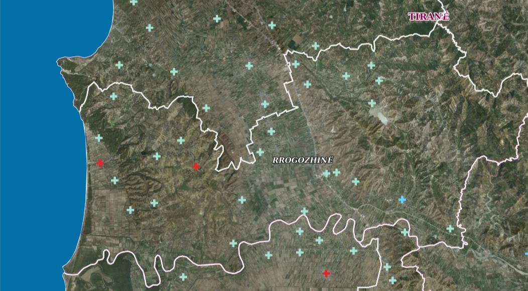 view on mapview in cataloguelinks
view on mapview in cataloguelinksHealth institutions
wmshttps://geoportal.asig.gov.al/service/sherbime_qeveritare/wms?request=GetCapabilities
Local health care unitsMapping of institutions (Hospitals, Health Centers, NVKSH, etc.) that provide health services (Hospital Service, General Medical Service, Outpatient Service). 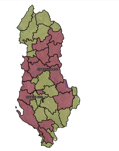 view on mapview in cataloguelinks
view on mapview in cataloguelinksLocal health care units
wmshttps://geoportal.asig.gov.al/service/sherbime_qeveritare/wms?request=GetCapabilities
Digital Broadcasting Stations RTSHAntenna stations of Albanian Television 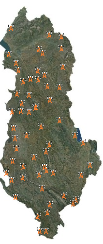 view on mapview in cataloguelinks
view on mapview in cataloguelinksDigital Broadcasting Stations RTSH
WMS Linkhttp://geoportal.asig.gov.al/service/rtsh/wms?request=getcapabilities
Educational Services Infrastructure of schools and public kindergartens "Pre-university system".  view on mapview in cataloguelinks
view on mapview in cataloguelinksEducational Services
WMS Linkhttps://geoportal.asig.gov.al/service/ministria_e_arsimit_dhe_sportit/wms?request=getcapabilities
Institucione ArsimoreThe data has been officially obtained from the Ministry of Education and Sports, with letter no. 9259/1 prot., dated 23.12.2014 and with letter no. 336/1 prot., dated 02.05.2025.  view on mapview in cataloguelinks
view on mapview in cataloguelinksInstitucione Arsimore
https://geoportal.asig.gov.al/service/ministria_e_arsimit_dhe_sportit/wms?request=getcapabilities
KRGJSH
Magnetometric NetworkState Magnetometric Network 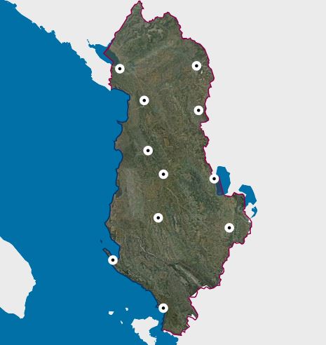 view on mapview in cataloguelinks
view on mapview in cataloguelinksMagnetometric Network
WMS Linkhttps://geoportal.asig.gov.al/service/krgjsh/wms?request=getcapabilities
Gravimetric NetworkThe State Gravimetric Network of the Republic of Albania is part of the 'Albanian Geodetic Reference Framework'.  view on mapview in cataloguelinks
view on mapview in cataloguelinksGravimetric Network
WMS Linkhttps://geoportal.asig.gov.al/service/krgjsh/wms?request=getcapabilities
State Global Positioning Network-Active GNSS Network "ALBCORS"GNSS Active State Network "ALBCORS" consists of 27 CORS Stations that ensure a uniform distribution in the territory of Albania and a monitoring center located near ASIG. 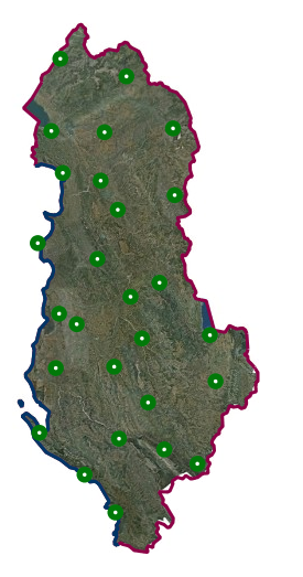 view on mapview in cataloguelinks
view on mapview in cataloguelinksState Global Positioning Network-Active GNSS Network "ALBCORS"
WMS Linkhttps://geoportal.asig.gov.al/service/wms
State Leveling NetworkThis network will enable the control and assessment of the accuracy of the gravimetric geoid on which the new vertical geodetic reference will be based for the determination of orthometric heights in the territory of the Republic of Albania.  view on mapview in cataloguelinks
view on mapview in cataloguelinksState Leveling Network
wmshttps://geoportal.asig.gov.al/service/krgjsh/wms?request=GetCapabilities
Mareographic NetworkState Mareographic Network 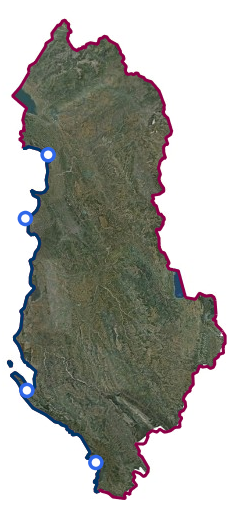 view on mapview in cataloguelinks
view on mapview in cataloguelinksMareographic Network
WMS Linkhttps://geoportal.asig.gov.al/service/krgjsh/wms?request=getcapabilities
State Positioning Network Global-GNSS Passive NetworkThe GNSS Passive State Network consists of points located in such a way that together with the GNSS Active State Network points ensure an almost uniform distribution in the territory of Albania. 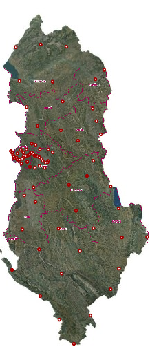 view on mapview in cataloguelinks
view on mapview in cataloguelinksState Positioning Network Global-GNSS Passive Network
WMS Linkhttps://geoportal.asig.gov.al/service/wms
Monitoring
Montoring, Coastal (UAV) (2019)Monitoring, Coastal (UAV) (2019) Photographing the coastline of the Republic of Albania with "UAV" technology for the year 2019.  view on mapview in cataloguelinks
view on mapview in cataloguelinksMontoring, Coastal (UAV) (2019)
wmshttps://geoportal.asig.gov.al/service/monitorime/wms?request=GetCapabilities
Costal monitoringPhotographing the coastline of the Republic of Albania with "UAV" technology covers .  view on mapview in cataloguelinks
view on mapview in cataloguelinksCostal monitoring
WMS Linkhttps://geoportal.asig.gov.al/service/monitorime/wms?request=GetCapabilities
Pedology
PedologyThe World Reference Base (WRB) is an international soil classification system. It is designed to enable the representation of every soil type that exists in the world. 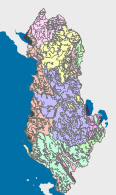 view on mapview in cataloguelinks
view on mapview in cataloguelinksPedology
WMS https://geoportal.asig.gov.al/service/qttb/wms?request=GetCapabilities
Base Map
Topographic Map 1: 50 000Topographic maps of scale 1: 50000 were published by the Institute of Geography and Military Infrastructure (former ITU), in the period 1960-1991 and cover the entire territory of the Republic of Albania.  view on mapview in cataloguelinks
view on mapview in cataloguelinksTopographic Map 1: 50 000
WMS Linkhttps://geoportal.asig.gov.al/service/wmts?request=GetCapabilities
Cities (AQTN)Plans of scale 1: 500 were created by the metrological method from the former geology-geodesy company.  view on mapview in cataloguelinks
view on mapview in cataloguelinksCities (AQTN)
WMTS linkhttps://geoportal.asig.gov.al/service/wmts?request=GetCapabilities
Topographic Map 1: 2000Basic map of scale 1: 2000, in image format (raster), created by the State Authority for Geospatial Information (ASIG) in cooperation with the Japan International Cooperation Agency (JICA). 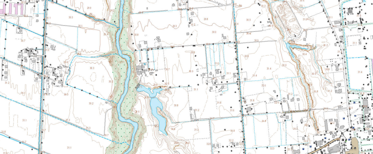 view on mapview in cataloguelinks
view on mapview in cataloguelinksTopographic Map 1: 2000
https://basemap.asig.gov.al/server/rest/services/Topo_2000_122025/MapServer/WMTS?request=GetCapabilities
Topographical map 1:10 000Scanning of topographical map 1:10000 for the western and Albanian coastline, 423 indexes (sheet) 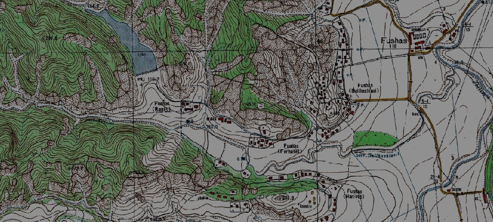 view on mapview in cataloguelinks
view on mapview in cataloguelinksTopographical map 1:10 000
WMTS Linkhttp://geoportal.asig.gov.al/service/wmts??request=GetCapabilities
Topographical map 1:25 000Scanning of topographical map 1:25000 for the whole territory of Albania, total 256 indexes (sheet) 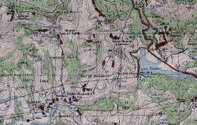 view on mapview in cataloguelinks
view on mapview in cataloguelinksTopographical map 1:25 000
WMTS linkhttp://geoportal.asig.gov.al/service/wmts??request=GetCapabilities
Topographical map 1:50 000Scanning of topographical map 1:50000 for the whole territory of Albania, total 82 indexes (sheet) 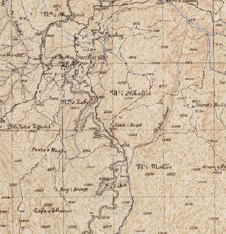 view on mapview in cataloguelinks
view on mapview in cataloguelinksTopographical map 1:50 000
WMTS linkhttps://geoportal.asig.gov.al/service/wmts?request=GetCapabilities
Cadastral Parcels
Cadastral Parcels (ALBSCAD)Cadastral Zones or Cadastral Blocks which have been worked on in the Multifunctional system by the Local Directorates of the Albanian Land Registry by updating transactions. 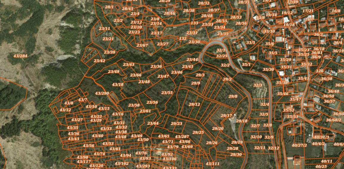 view on mapview in cataloguelinks
view on mapview in cataloguelinksCadastral Parcels (ALBSCAD)
wmshttps://geoportal.asig.gov.al/service/zrpp/wms?request=getcapabilities
Cadastral Buildings (ALBSCAD)Cadastral Zones or Cadastral Blocks which have been worked on in the Multifunctional system by the Local Directorates of the Albanian Land Registry by updating transactions. 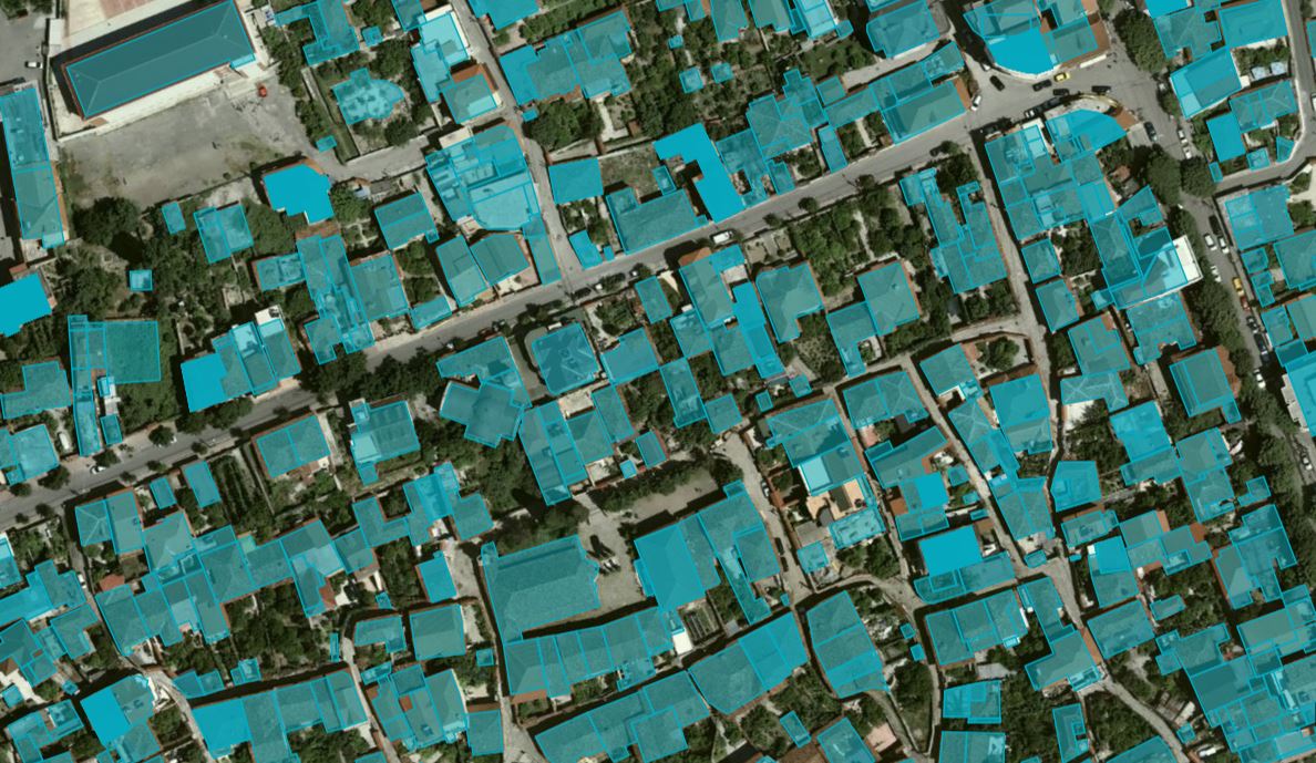 view on mapview in cataloguelinks
view on mapview in cataloguelinksCadastral Buildings (ALBSCAD)
wmshttps://geoportal.asig.gov.al/service/zrpp/wms?request=getcapabilities
BuildingsCartographic information of real estate indicative maps (HTR), at the time of initial registration. The information was submitted by the Immovable Property Registration Office, with letter no. 4030/12 prot. dt. 11.09.2014.  view on mapview in cataloguelinks
view on mapview in cataloguelinksBuildings
WMS Linkhttps://geoportal.asig.gov.al/service/zrpp/wms?request=getcapabilities
ParcelsCartographic information of real estate indicative maps (HTR), at the time of initial registration. The information was submitted by the Immovable Property Registration Office, with letter no. 4030/12 prot. dt. 11.09.2014. 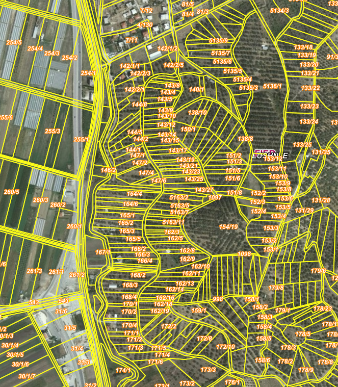 view on mapview in cataloguelinks
view on mapview in cataloguelinksParcels
WMS Linkhttps://geoportal.asig.gov.al/service/zrpp/wms?request=getcapabilities
Cadastral ZoneCartographic information of real estate indicative maps (HTR), at the time of initial registration. The information was submitted by the Immovable Property Registration Office, with letter no. 4030/12 prot. dt. 11.09.2014. 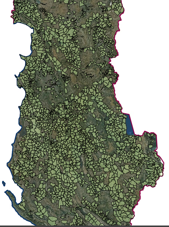 view on mapview in cataloguelinks
view on mapview in cataloguelinksCadastral Zone
WMS Linkhttps://geoportal.asig.gov.al/service/zrpp/wms?request=getcapabilities
Geographical grid systems
Nomenclature 1: 500 Cities (AQTN)The creation of the nomenclature 1: 500 for the cities of Tirana, Durrës, Kavaja, Rrogozina, Shijak, Kruja, Vora, Shkodra, Lezha, Laç, Ballsh, Fier, Lushnje, Patos, Roskovec, Vlora has been realized.  view on mapview in cataloguelinks
view on mapview in cataloguelinksNomenclature 1: 500 Cities (AQTN)
wmshttps://geoportal.asig.gov.al/service/igju/wms?request=getcapabilities
Nomenclature 1: 50000 (Italian)These are the data created by the digitalization of the topographic map frame of scale 1: 50000 (Italian), which are georeferenced in the official coordination system KRGJSH. 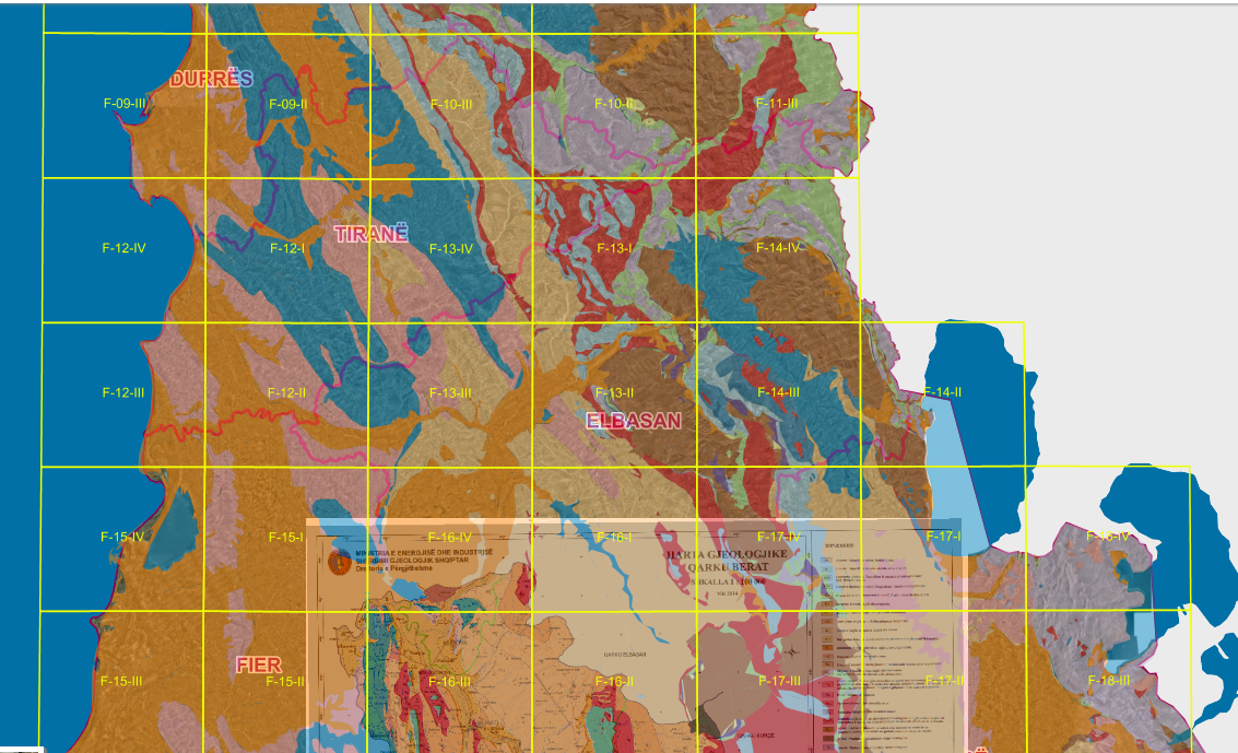 view on mapview in cataloguelinks
view on mapview in cataloguelinksNomenclature 1: 50000 (Italian)
WMS Linkhttps://geoportal.asig.gov.al/service/igju/wms?request=getcapabilities
Index 2500 These are the data created by the digitalization of the frame of topographic maps of scale 2500, which are scanned, georeferenced and transformed into the official coordination system KRGJSH.  view on mapview in cataloguelinks
view on mapview in cataloguelinksIndex 2500
Wms Linkhttps://geoportal.asig.gov.al/service/igju/wms?request=getcapabilities
Index 5000 These are the data created by the digitalization of the frame of topographic maps of scale 5000, which are scanned, georeferenced and transformed into the official coordination system KRGJSH. 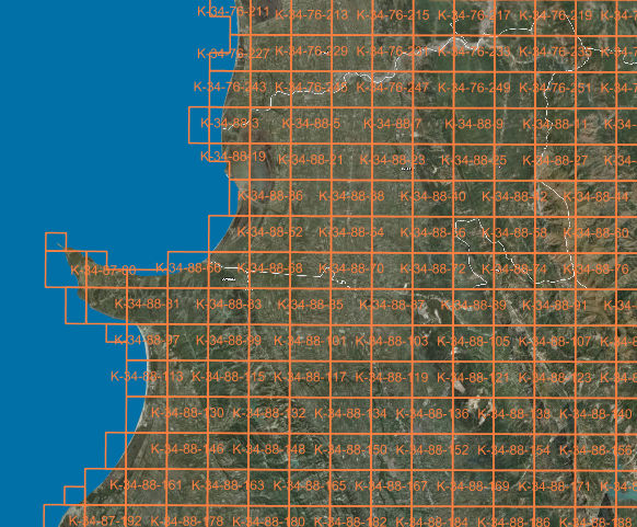 view on mapview in cataloguelinks
view on mapview in cataloguelinksIndex 5000
Wms Linkhttps://geoportal.asig.gov.al/service/igju/wms?request=getcapabilities
Index 10000 These are the data created by the digitalization of the frame of topographic maps of scale 10000, which are scanned, georeferenced and transformed into the official coordination system KRGJSH.  view on mapview in cataloguelinks
view on mapview in cataloguelinksIndex 10000
WMS Linkhttps://geoportal.asig.gov.al/service/igju/wms?request=getcapabilities
Index 25000 These are the data created by the digitalization of the frame of topographic maps of scale 25000, which are scanned, georeferenced and transformed into the official coordination system KRGJSH.  view on mapview in cataloguelinks
view on mapview in cataloguelinksIndex 25000
WMS Linkhttps://geoportal.asig.gov.al/service/igju/wms?request=getcapabilities
Index 50000 These are the data created by the digitalization of the frame of topographic maps of scale 50000, which are scanned, georeferenced and transformed into the official coordination system KRGJSH.  view on mapview in cataloguelinks
view on mapview in cataloguelinksIndex 50000
WMS Linkhttps://geoportal.asig.gov.al/service/igju/wms?request=getcapabilities
Index 100000These are the data created by the digitalization of the frame of topographic maps of scale 100000, which are scanned, georeferenced and transformed into the official coordination system KRGJSH.  view on mapview in cataloguelinks
view on mapview in cataloguelinksIndex 100000
WMS Linkhttps://geoportal.asig.gov.al/service/igju/wms?request=getcapabilities
Geology
Geological maps 1:100 000The 1: 100,000 scale geological map presents the geological ages and lithological description.  view on mapview in cataloguelinks
view on mapview in cataloguelinksGeological maps 1:100 000
WMS Linkhttps://geoportal.asig.gov.al/service/gjeologjia/wms?request=getcapabilities
Geology, Thematic MapsGeology, Thematic Maps  view on mapview in cataloguelinks
view on mapview in cataloguelinksGeology, Thematic Maps
WMS linkhttps://geoportal.asig.gov.al/service/Gjeologjike_tiff/wms?request=getcapabilities
Geomonuments - Thematic mapsGeomonument Maps for 12 Regions of the Republic of Albania built according to geological maps of planets of scale 1: 100 000 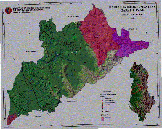 view on mapview in cataloguelinks
view on mapview in cataloguelinksGeomonuments - Thematic maps
WMS linkhttps://geoportal.asig.gov.al/service/Gjeologjike_tiff/wms?request=getcapabilities
Geo-environment - Thematic mapsGeo-enviromental Map for 12 Regions of the Republic of Albania built according to geological maps of planets of scale 1: 100 000  view on mapview in cataloguelinks
view on mapview in cataloguelinksGeo-environment - Thematic maps
WMS linkhttps://geoportal.asig.gov.al/service/Gjeologjike_tiff/wms?request=getcapabilities
Engineering Geology, Thematic maps.Engineering Geology, Thematic maps. 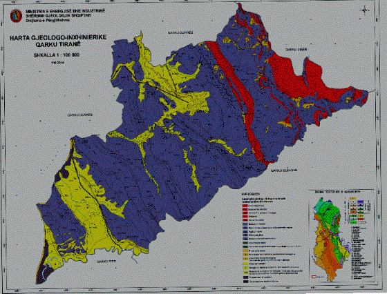 view on mapview in cataloguelinks
view on mapview in cataloguelinksEngineering Geology, Thematic maps.
WMS linkhttps://geoportal.asig.gov.al/service/Gjeologjike_tiff/wms?request=getcapabilities
Geological maps 1:200 000Geological map of the Albanian territory scale 1:200000  view on mapview in cataloguelinks
view on mapview in cataloguelinksGeological maps 1:200 000
WMS Linkhttps://geoportal.asig.gov.al/service/gjeologjia/wms?request=getcapabilities
Hydro geology thematic mapsHydro geology thematic maps  view on mapview in cataloguelinks
view on mapview in cataloguelinksHydro geology thematic maps
WMS linkhttps://geoportal.asig.gov.al/service/Gjeologjike_tiff/wms?request=getcapabilities
Minerals thematic mapsMinerals thematic maps  view on mapview in cataloguelinks
view on mapview in cataloguelinksMinerals thematic maps
WMS linkhttps://geoportal.asig.gov.al/service/Gjeologjike_tiff/wms?request=getcapabilities
Geological Hazard thematic mapsGeological Hazard thematic maps  view on mapview in cataloguelinks
view on mapview in cataloguelinksGeological Hazard thematic maps
WMS linkhttps://geoportal.asig.gov.al/service/Gjeologjike_tiff/wms?request=getcapabilities
Geological zoning thematic mapsZoning Map for Constructibility of Landfill for the 12 Districts of the Republic of Albania built according to the geological maps of planets of scale 1: 100 000.  view on mapview in cataloguelinks
view on mapview in cataloguelinksGeological zoning thematic maps
WMS linkhttps://geoportal.asig.gov.al/service/Gjeologjike_tiff/wms?request=getcapabilities
Administrative Units
Order 5 (Towns and Villages)Rank 5 (Towns and Villages), Malësi e Madhe and Kamëz Municipality, is published based on geospatial information made available by the local self-government unit, Malësi e Madhe Municipality. 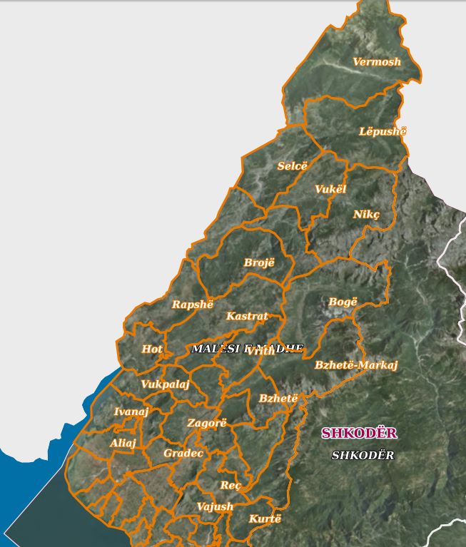 view on mapview in cataloguelinks
view on mapview in cataloguelinksOrder 5 (Towns and Villages)
wmshttps://geoportal.asig.gov.al/service/kufinjt_e_njesive_administrative/wms?request=GetCapabilities
Fourth order (Administrative units)The updated boundaries of the administrative units of the municipality of Shkodër, Dimal, Kamëz, Malësi e Madhe, Patos, are approved by decision of the respective municipal council, these decisions are found as a link in the "Legal Basis" field  view on mapview in cataloguelinks
view on mapview in cataloguelinksFourth order (Administrative units)
wmshttps://geoportal.asig.gov.al/service/kufinjt_e_njesive_administrative/wms?request=GetCapabilities
Second Order (Region Border) Administrative division at regional level obtained from the updated map of administrative-territorial boundaries of local self-government units approved by DCM no.360 dated 29.05.2019. 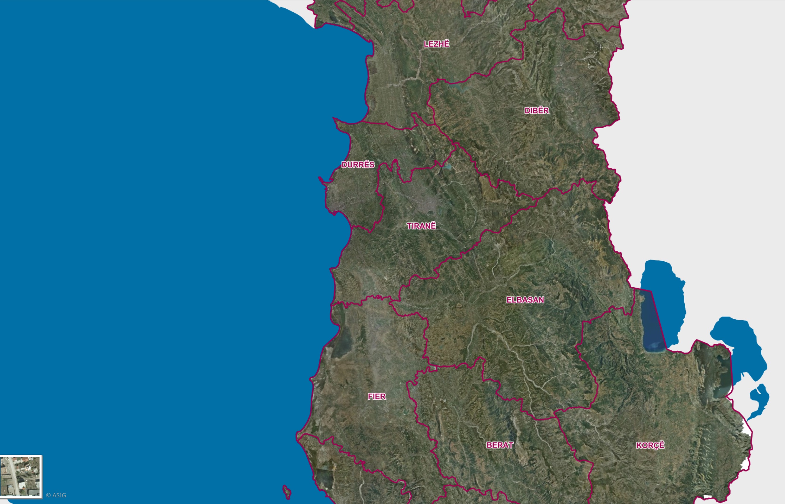 view on mapview in cataloguelinks
view on mapview in cataloguelinksSecond Order (Region Border)
WMS Linkhttps://geoportal.asig.gov.al/service/kufinjt_e_njesive_administrative/wms?request=getcapabilities
First Order (Terrestrial Border)State Land Border, State Border River, State Border Lake, Coastal Line of the Republic of Albania. 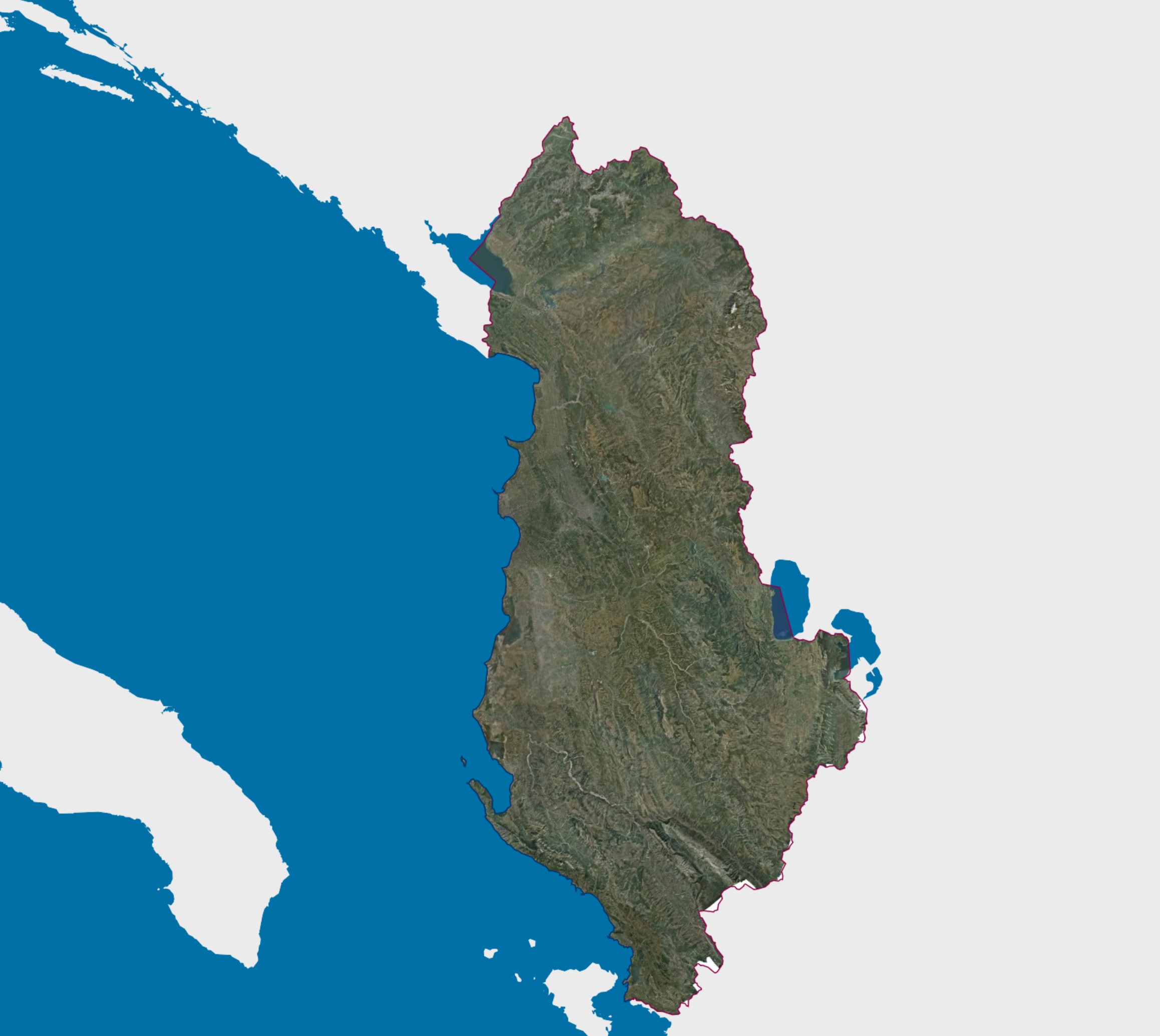 view on mapview in cataloguelinks
view on mapview in cataloguelinksFirst Order (Terrestrial Border)
WMS Linkhttps://geoportal.asig.gov.al/service/kufinjt_e_njesive_administrative/wms?request=GetCapabilities
Third Order (Municipality Border) Administrative division at the level of local self-government unit. The published information presents the updated map of the administrative-territorial boundaries of the local self-government units approved by the DCM no. 360 dated 29.05.2019. 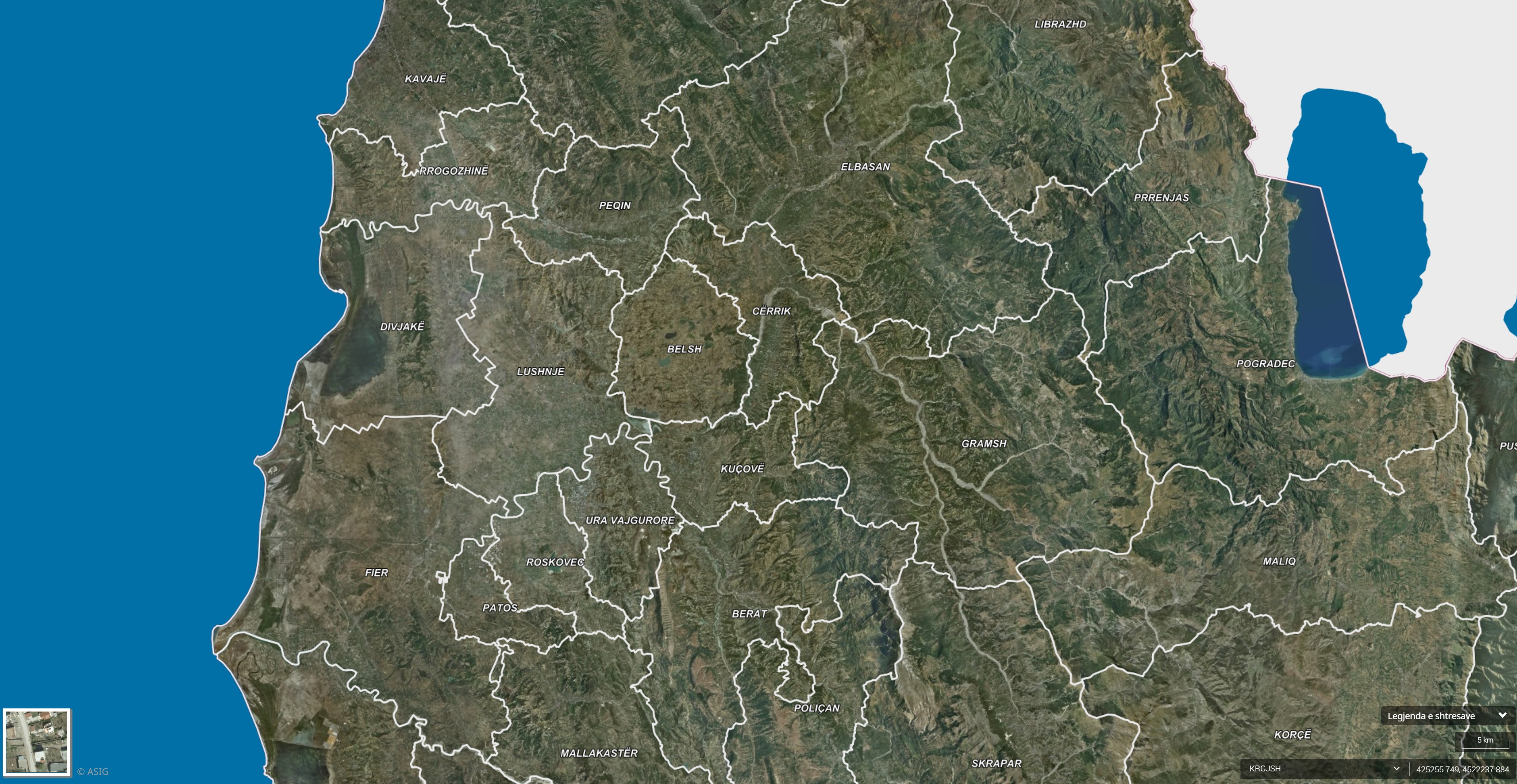 view on mapview in cataloguelinks
view on mapview in cataloguelinksThird Order (Municipality Border)
WMS Linkhttps://geoportal.asig.gov.al/map/?fc_name=rendi_3_kufi_bashki_vkm360_1&auto=true
Land Cover
Distribution of forest trees heightThe height of forest trees over two meters. The map was produced by the National Forestry Agency using LiDAR data from 2015 made available by ASIG,  view on mapview in cataloguelinks
view on mapview in cataloguelinksDistribution of forest trees height
wmshttps://geoportal.asig.gov.al/service/akp/wms?request=GetCapabilities
ALFIS, Forest Management BoundaryThe "Forest Management Boundary" is the basic unit of organization of the area of the national forest fund for forest governance and the management, planning and control of forest management. 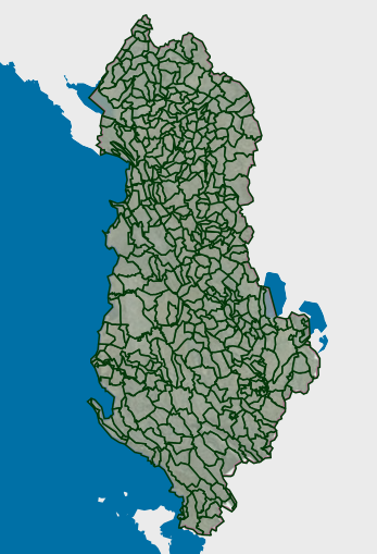 view on mapview in cataloguelinks
view on mapview in cataloguelinksALFIS, Forest Management Boundary
wmshttps://geoportal.asig.gov.al/service/akp/wms?request=GetCapabilities
ALFIS, Forest ParcelsForest parcel or "Plot" is the name of a forest area, with clear natural boundaries, created by dividing a forest economy into parts.  view on mapview in cataloguelinks
view on mapview in cataloguelinksALFIS, Forest Parcels
wmshttps://geoportal.asig.gov.al/service/akp/wms?request=GetCapabilities
ALFIS, Forest SubparcelsA subparcel or "sub-plot" is a surface unit with a minimum size of 0.5 ha, which serves for the assessment of forest stands, planning and control of similar silvicultural treatments. 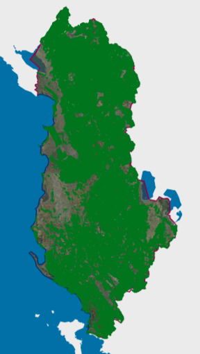 view on mapview in cataloguelinks
view on mapview in cataloguelinksALFIS, Forest Subparcels
wmshttps://geoportal.asig.gov.al/service/akp/wms?request=GetCapabilities
Land Cover (Corine 2018)Corine Land Cover 2018 is one of the datasets produced under the Corine Land Cover program referring to the 2018 land cover / land use status. 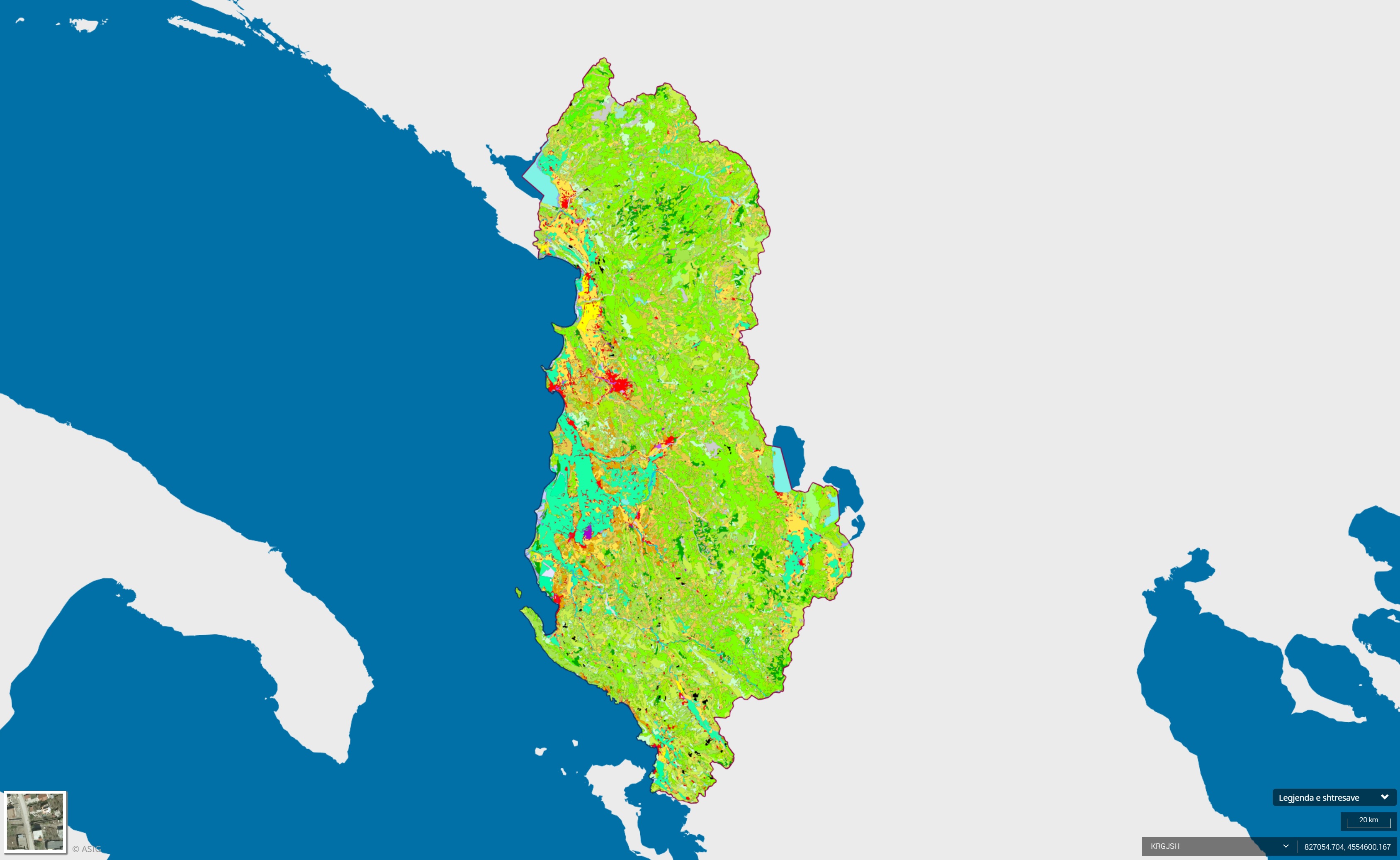 view on mapview in cataloguelinks
view on mapview in cataloguelinksLand Cover (Corine 2018)
WMS Linkhttps://geoportal.asig.gov.al/service/akmjedis/wms?request=GetCapabilities
Land Cover (Corine 2012) Map of Corine. Reporting at European level of monitoring of the 5 main categories of territory. 1. Urban 2. Agricultural 3. Pasture forest 4. Wetland 5.Water.  view on mapview in cataloguelinks
view on mapview in cataloguelinksLand Cover (Corine 2012)
WMS Linkhttps://geoportal.asig.gov.al/service/akmjedis/wms?request=getcapabilities
Transport networks
Railway Transport - Railway NodeThis dataset contains geospatial data for the rail transport network in the Republic of Albania. The data has been built from scratch, based on existing information and in accordance with the standard data model.  view on mapview in cataloguelinks
view on mapview in cataloguelinksRailway Transport - Railway Node
wmshttps://geoportal.asig.gov.al/service/rrjete_transporti/wms?request=GetCapabilities
Road Transport - Road NodeThis dataset contains geospatial data for the road transport network in the Republic of Albania, including local national roads, as well as associated features (bridges, tunnels, overpasses, underpasses).  view on mapview in cataloguelinks
view on mapview in cataloguelinksRoad Transport - Road Node
wmshttps://geoportal.asig.gov.al/service/rrjete_transporti/wms?request=GetCapabilities
Railway Transport-Railway LineThis dataset contains geospatial data for the rail transport network in the Republic of Albania. The data has been built from scratch, based on existing information and in accordance with the standard data model. 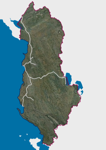 view on mapview in cataloguelinks
view on mapview in cataloguelinksRailway Transport-Railway Line
wmshttps://geoportal.asig.gov.al/service/rrjete_transporti/wms?request=GetCapabilities
Rail Transport - Rail Service AreaThis dataset contains geospatial data for the rail transport network in the Republic of Albania. The data has been built from scratch, based on existing information and in accordance with the standard data model.  view on mapview in cataloguelinks
view on mapview in cataloguelinksRail Transport - Rail Service Area
wmshttps://geoportal.asig.gov.al/service/rrjete_transporti/wms?request=GetCapabilities
Railway Transport-Railway Service FacilityThis dataset contains geospatial data for the rail transport network in the Republic of Albania. The data has been built from scratch, based on existing information and in accordance with the standard data model.  view on mapview in cataloguelinks
view on mapview in cataloguelinksRailway Transport-Railway Service Facility
wmshttps://geoportal.asig.gov.al/service/rrjete_transporti/wms?request=GetCapabilities
Road Transport-Road LineThis dataset contains geospatial data for the road transport network in the Republic of Albania, including local national roads, as well as associated features (bridges, tunnels, overpasses, underpasses). 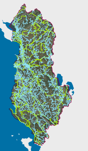 view on mapview in cataloguelinks
view on mapview in cataloguelinksRoad Transport-Road Line
wmshttps://geoportal.asig.gov.al/service/rrjete_transporti/wms?request=GetCapabilities
Energy Resources
HPP Monitoring - HPP StructureThe data obtained from the actual survey of the coordinates of the buildings, receiving works, pressure basins, decanters, etc., by means of Trimble R10 GPS equipment available to the National Agency of Natural Resources (AKBN).  view on mapview in cataloguelinks
view on mapview in cataloguelinksHPP Monitoring - HPP Structure
wmshttps://geoportal.asig.gov.al/service/akbn/wms?request=GetCapabilities
HPP Monitoring - Network StructureData obtained from the actual survey of condominium coordinates, intake works, pressure basins, decanters, etc., using AKBN's Trimble R10 GPS equipment, which work with the ALPOS system. 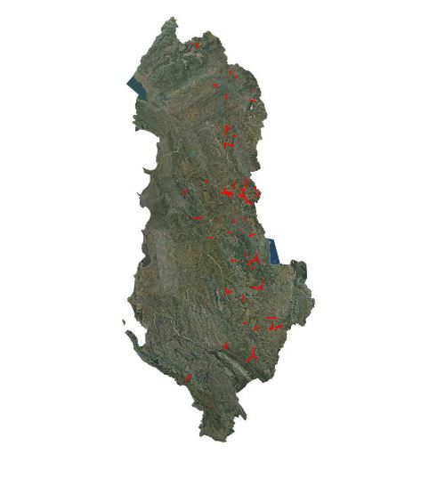 view on mapview in cataloguelinks
view on mapview in cataloguelinksHPP Monitoring - Network Structure
WMS Linkhttps://geoportal.asig.gov.al/service/akbn/wms?request=getcapabilities
Digital terrain model
DTM (2015-2017) 3DThe Digital Ground Model (MDT) describes the three dimensional shape of the Earth's surface, including all static features placed on it.  view on mapview in cataloguelinks
view on mapview in cataloguelinksDTM (2015-2017) 3D
https://geoportal.asig.gov.al/service/wmts?request=GetCapabilities
DSM 2015- 2017 3D The Digital Surface Model (DSM) describes the three dimensional shape of the Earth's surface, including all static features placed on it.  view on mapview in cataloguelinks
view on mapview in cataloguelinksDSM 2015- 2017 3D
WMTS Linkhttps://geoportal.asig.gov.al/service/wmts?request=GetCapabilities
IzoipsePresentation of digital terrain model data, MDT (2015-2017), in vector isoipse typology.  view on mapview in cataloguelinks
view on mapview in cataloguelinksIzoipse
WMS Linkhttps://geoportal.asig.gov.al/service/Izoipse/wms?request=GetCapabilities
Geographical names
Geographical Names (ASIG) Geographical designations consist of three sets of geospatial data. Geographical names of relief (toponymy), hydrography, and villages / towns.  view on mapview in cataloguelinks
view on mapview in cataloguelinksGeographical Names (ASIG)
WMS Linkhttps://geoportal.asig.gov.al/service/igju/wms?request=GetCapabilities
Hydrography
AMBU-Permits granted by KKTU and KBLs for AquacultureData on the Permits granted by the Water Basin Councils for the use of water for aquaculture. 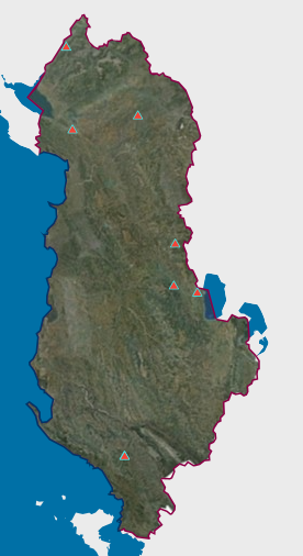 view on mapview in cataloguelinks
view on mapview in cataloguelinksAMBU-Permits granted by KKTU and KBLs for Aquaculture
wmshttps://geoportal.asig.gov.al/service/ambu/wms?request=getcapabilities
AMBU-Permits granted by KKTU and KBLs for the uses of water resources for other uses of water: sanitary, washing, family sanitary, swimming poolsAMBU-Permits granted by KKU and KBUs for the uses of water resources for other uses of water: sanitary, washing, family sanitary, swimming pools  view on mapview in cataloguelinks
view on mapview in cataloguelinksAMBU-Permits granted by KKTU and KBLs for the uses of water resources for other uses of water: sanitary, washing, family sanitary, swimming pools
wmshttps://geoportal.asig.gov.al/service/ambu/wms?request=getcapabilities
AMBU-Permits issued by KKTU and KBLs for construction activities on the shoreData on Permits issued by Water Basin Councils for construction activities on the shore 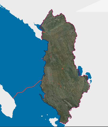 view on mapview in cataloguelinks
view on mapview in cataloguelinksAMBU-Permits issued by KKTU and KBLs for construction activities on the shore
wmshttps://geoportal.asig.gov.al/service/ambu/wms?request=getcapabilities
Drainage basinThe data group was acquired by digitizing topographic maps of 1: 25,000, 1: 10,000 and based on Ortofoto 2015-2017 and Digital Field Model (DTM).  view on mapview in cataloguelinks
view on mapview in cataloguelinksDrainage basin
https://geoportal.asig.gov.al/service/hidro_operator/wms?
Water courseThe data group was acquired by digitizing topographic maps of 1: 25,000, 1: 10,000 and based on Ortofoto 2015-2017 and Digital Field Model (DTM). 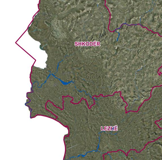 view on mapview in cataloguelinks
view on mapview in cataloguelinksWater course
WMS Linkhttps://geoportal.asig.gov.al/service/hidro_operator/wms?
Water course linkThe data group was acquired by digitizing topographic maps of 1: 25,000, 1: 10,000 and based on Ortofoto 2015-2017 and Digital Field Model (DTM).  view on mapview in cataloguelinks
view on mapview in cataloguelinksWater course link
WMS Linkhttps://geoportal.asig.gov.al/service/hidro_operator/wms?
Ecological status, Ishëm Basin, Transient water bodyThis data was generated from the Ishëm and Erzen River Basin Management Plans, approved respectively with DCM no. 624, dated 8.11.2023 for the Ishëm 2024-2029 PMBU and DCM no. 623 dated 8.11.2023 for the Erzen 2024-2029 PMBU.  view on mapview in cataloguelinks
view on mapview in cataloguelinksEcological status, Ishëm Basin, Transient water body
wmshttps://geoportal.asig.gov.al/service/ambu/wms?request=getcapabilities
Ecological status, Ishëm Basin, Surface water bodyThis data was generated from the Ishëm and Erzen River Basin Management Plans, approved respectively by DCM No. 624, dated 8.11.2023 for the Ishëm 2024-2029 PMBU and DCM No. 623 dated 8.11.2023 for the Erzen 2024-2029 PMBU.  view on mapview in cataloguelinks
view on mapview in cataloguelinksEcological status, Ishëm Basin, Surface water body
wmshttps://geoportal.asig.gov.al/service/ambu/wms?request=getcapabilities
Ecological status, Ishëm Basin, Coastal water bodyThese data were generated from the Ishëm and Erzen River Basin Management Plans, approved respectively with DCM no. 624, dated 8.11.2023 for the Ishëm 2024-2029 PMBU and DCM no. 623 dated 8.11.2023 for the Erzen 2024-2029 PMBU.  view on mapview in cataloguelinks
view on mapview in cataloguelinksEcological status, Ishëm Basin, Coastal water body
wmshttps://geoportal.asig.gov.al/service/ambu/wms?request=getcapabilities
Ecological status, Erzen Basin, Lake water bodyThis data was generated from the Ishëm and Erzen River Basin Management Plans, approved respectively with DCM no. 624, dated 8.11.2023 for the Ishëm 2024-2029 PMBU and DCM no. 623 dated 8.11.2023 for the Erzen 2024-2029 PMBU. 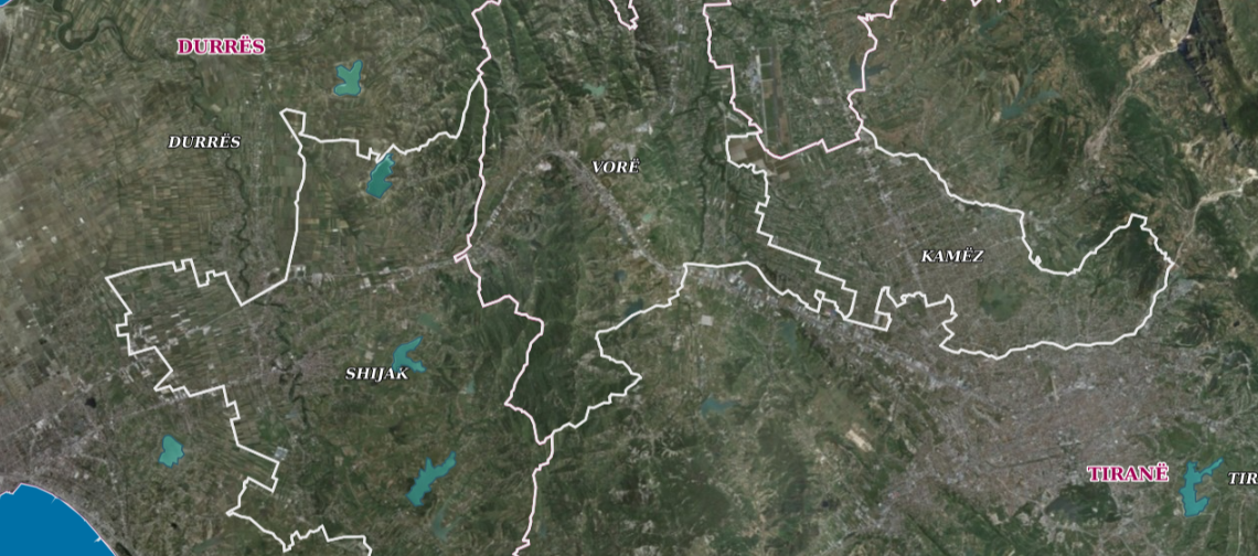 view on mapview in cataloguelinks
view on mapview in cataloguelinksEcological status, Erzen Basin, Lake water body
wmshttps://geoportal.asig.gov.al/service/ambu/wms?request=getcapabilities
Ecological status, Erzen Basin, Transient water bodyThis data was generated from the Ishëm and Erzen River Basin Management Plans, approved respectively with DCM no. 624, dated 8.11.2023 for the Ishëm 2024-2029 PMBU and DCM no. 623 dated 8.11.2023 for the Erzen 2024-2029 PMBU. 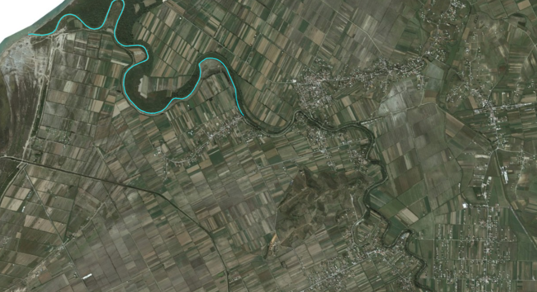 view on mapview in cataloguelinks
view on mapview in cataloguelinksEcological status, Erzen Basin, Transient water body
wmshttps://geoportal.asig.gov.al/service/ambu/wms?request=getcapabilities
Ecological status, Erzen Basin, Coastal Water BodyThis data was generated from the Ishëm and Erzen River Basin Management Plans, approved respectively with DCM no. 624, dated 8.11.2023 for the Ishëm 2024-2029 PMBU and DCM no. 623 dated 8.11.2023 for the Erzen 2024-2029 PMBU. 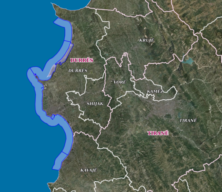 view on mapview in cataloguelinks
view on mapview in cataloguelinksEcological status, Erzen Basin, Coastal Water Body
wmshttps://geoportal.asig.gov.al/service/ambu/wms?request=getcapabilities
AMBU-Permits granted by KKTU and KBLs for the use of water resources for BottlingData on Permits granted by the National Water Council and Water Basin Councils for the use of water resources for the marketing of bottled water, bottled water, bottling.  view on mapview in cataloguelinks
view on mapview in cataloguelinksAMBU-Permits granted by KKTU and KBLs for the use of water resources for Bottling
wmshttps://geoportal.asig.gov.al/service/ambu/wms?request=getcapabilities
Ecological status, Ishëm Basin, Lake water bodyThese data were generated from the Ishëm and Erzen River Basin Management Plans, approved respectively with DCM no. 624, dated 8.11.2023 for the Ishëm 2024-2029 PMBU and DCM no. 623 dated 8.11.2023 for the Erzen 2024-2029 PMBU. 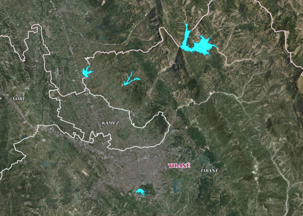 view on mapview in cataloguelinks
view on mapview in cataloguelinksEcological status, Ishëm Basin, Lake water body
wmshttps://geoportal.asig.gov.al/service/ambu/wms?request=getcapabilities
AMBU-Permits granted by KKTU and KBLs for irrigation in agricultureData on Permits issued by Water Basin Councils for the use of water for irrigation in agriculture.  view on mapview in cataloguelinks
view on mapview in cataloguelinksAMBU-Permits granted by KKTU and KBLs for irrigation in agriculture
wmshttps://geoportal.asig.gov.al/service/ambu/wms?request=getcapabilities
AMBU-Permits granted by KKTU and KBLs for industry and technologyData on Permits granted by the National Water Council and Water Basin Councils for the use of water resources for industry and technology.  view on mapview in cataloguelinks
view on mapview in cataloguelinksAMBU-Permits granted by KKTU and KBLs for industry and technology
wmshttps://geoportal.asig.gov.al/service/ambu/wms?request=getcapabilities
AMBU-Permits granted by KKTU and KBLs for the uses of water resources for HydropowerData on Permits granted by the National Water Council and Water Basin Councils for the use of water resources for hydropower production through HPPs.  view on mapview in cataloguelinks
view on mapview in cataloguelinksAMBU-Permits granted by KKTU and KBLs for the uses of water resources for Hydropower
wmshttps://geoportal.asig.gov.al/service/ambu/wms?request=getcapabilities
AMBU-Permits granted by KKTU and KBLs for the use of inert materials on the banks of rivers/streamsData on the Permits granted by the Water Basin Councils for the use of intert materials in river/stream beds. 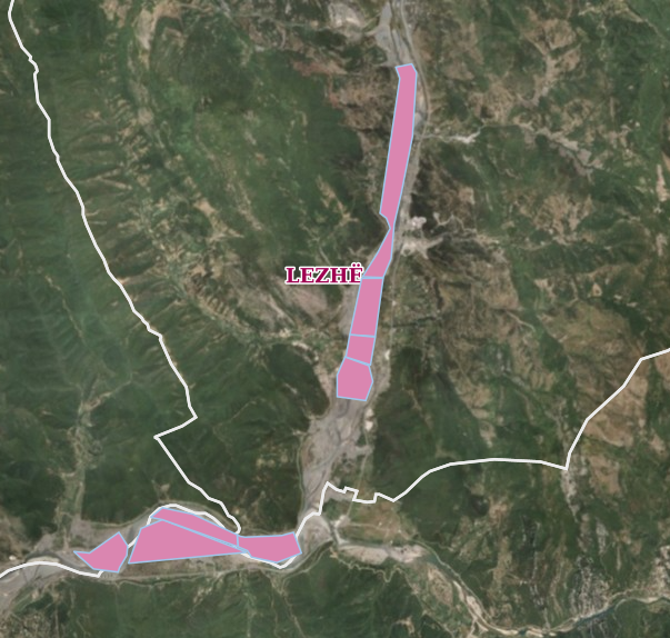 view on mapview in cataloguelinks
view on mapview in cataloguelinksAMBU-Permits granted by KKTU and KBLs for the use of inert materials on the banks of rivers/streams
wmshttps://geoportal.asig.gov.al/service/ambu/wms?request=getcapabilities
Large Dams, 2021 The National Register of DM is a database created by the processing of technical-legal documentation of DM passports received at the KKDM by their users / administrators.  view on mapview in cataloguelinks
view on mapview in cataloguelinksLarge Dams, 2021
https://geoportal.asig.gov.al/service/hidro_operator/wms?
AMBU-Permits granted by KKTU and KBLs for curative and thermal purposes.Data on the Permits granted by the Water Basin Councils for the use of water for curative and thermal purposes. 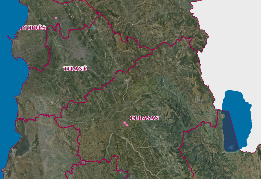 view on mapview in cataloguelinks
view on mapview in cataloguelinksAMBU-Permits granted by KKTU and KBLs for curative and thermal purposes.
wmshttps://geoportal.asig.gov.al/service/ambu/wms?request=getcapabilities
BasinsInformation on the new hydrographic division approved by DCM no. 696, dated 30.10.2019 "On the determination of the territorial, hydrographic boundaries of the water basins in the Republic of Albania and of the composition of the council of each of them". 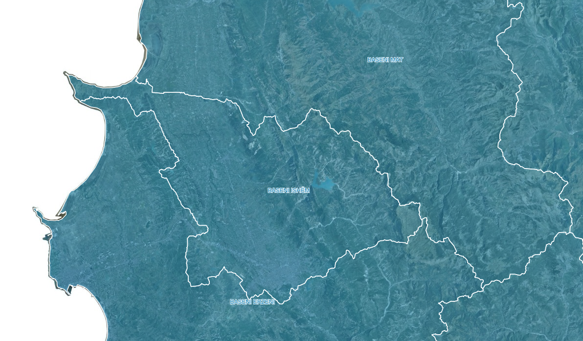 view on mapview in cataloguelinks
view on mapview in cataloguelinksBasins
https://geoportal.asig.gov.al/service/ambu/wms?request=getcapabilities
WetlandThe Services Group is enabled by digitizing 1:25 000, 1:10 000 scale topographic maps as well as using the 2015-2017 Visual Ortophoto and Digital Field Model (DTM). 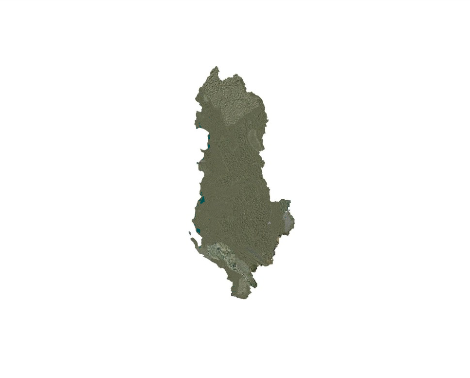 view on mapview in cataloguelinks
view on mapview in cataloguelinksWetland
https://geoportal.asig.gov.al/service/hidro_operator/wms?
Orthoimagery
Orthoimage Coverage (Year 2024)Information on the coverage area and technical specifications of the 2024 orthoimagery. 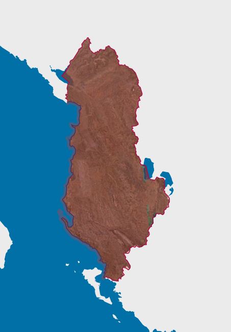 view on mapview in cataloguelinks
view on mapview in cataloguelinksOrthoimage Coverage (Year 2024)
wmshttps://geoportal.asig.gov.al/service/asig/wms?request=GetCapabilities
Orthoimage Coverage (Year 1957)Orthoimage Coverage (Year 1957), produced from scanned aerial photography images of 1957, covering part of the Western Lowlands of Albania and the city of Korça.s.  view on mapview in cataloguelinks
view on mapview in cataloguelinksOrthoimage Coverage (Year 1957)
wmshttps://geoportal.asig.gov.al/service/asig/wms?request=GetCapabilities
Ortofoto 1957Orthophoto produced from 1957 photography, which covers part of the Western Lowlands of Albania and the city of Korça. This orthophoto was produced in the GEOTIFF format and in the Geodetic Reference System, (KRGJSH).  view on mapview in cataloguelinks
view on mapview in cataloguelinksOrtofoto 1957
WMTShttps://geoportal.asig.gov.al/service/wmts?request=GetCapabilities
Orthophoto 1994 Orthophoto of the Year 1994, for the area of the Western Lowland of Albania, has an area of about 4591 km2.  view on mapview in cataloguelinks
view on mapview in cataloguelinksOrthophoto 1994
https://geoportal.asig.gov.al/service/wmts?request=GetCapabilities
Orthophoto 2019 (UAV) Ortofoto, for urban areas in Albania, created by aerial photography of 2019 with technology (Dron).  view on mapview in cataloguelinks
view on mapview in cataloguelinksOrthophoto 2019 (UAV)
WMS Linkhttps://geoportal.asig.gov.al/service/wmts?request=GetCapabilities
Orthoimagery Coverage (Year 1976-1986) 1:25 000Orthoimagery Coverage for the 1976-1986 Orthophoto layer 1:25,000. 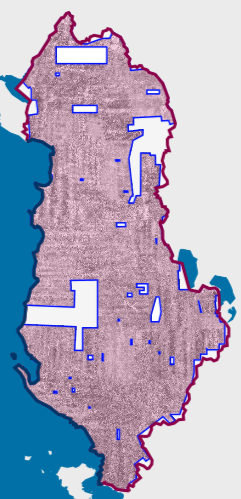 view on mapview in cataloguelinks
view on mapview in cataloguelinksOrthoimagery Coverage (Year 1976-1986) 1:25 000
wmshttps://geoportal.asig.gov.al/service/asig/wms?request=GetCapabilities
Orthophoto 2018 8cmThis set of data was produced with a resolution of 0.08-foot pixel, an RGB color orthophoto covering 375 square kilometers in the Tirana-Durres area through a project funded by the Japan International Cooperation Agency (JICA). 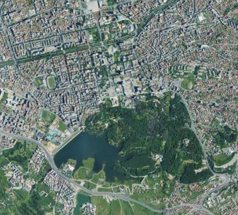 view on mapview in cataloguelinks
view on mapview in cataloguelinksOrthophoto 2018 8cm
WMTS Linkhttps://geoportal.asig.gov.al/service/wmts?request=GetCapabilities
Orthophoto CIR 2015 20 cmOrthophoto CIR period 2015-2017 with resolution 20 cm per pixcel covering the territory of the Republic of Albania.  view on mapview in cataloguelinks
view on mapview in cataloguelinksOrthophoto CIR 2015 20 cm
WMTS Linkhttps://geoportal.asig.gov.al/service/wmts?request=GetCapabilities
Orthoimage CoverageInformation on coverage areas and technical specifications of orthoimaging for 2015-2017. The data are in conformity with the standard with DCM no. 397, dated 19.06.2019.  view on mapview in cataloguelinks
view on mapview in cataloguelinksOrthoimage Coverage
WMTS Linkhttps://geoportal.asig.gov.al/service/wmts
Orthophoto 1976-1986 (25K)Orthophotos of the Republic of Albania, produced from analog aerial photographs taken during the period 1976–1986 by the Military Topographic Institute (ITU). These aerial photographs were used for the production of 1:25,000 topographic maps.  view on mapview in cataloguelinks
view on mapview in cataloguelinksOrthophoto 1976-1986 (25K)
WMTShttps://geoportal.asig.gov.al/service/wmts?request=GetCapabilities
UAV Satellite Orthophoto (2024-2025)Orthophotos created with UAV technology enable the provision of updated geospatial data for areas with high development intensity. 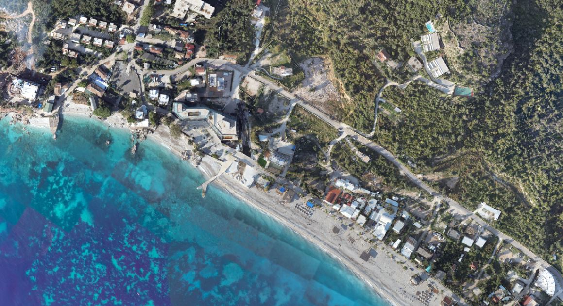 view on mapview in cataloguelinks
view on mapview in cataloguelinksUAV Satellite Orthophoto (2024-2025)
wmtshttps://basemap.asig.gov.al/server/rest/services/UAV_Orto_2024_2025/MapServer/WMTS?request=GetCapabilities
CIR 2025 Satellite OrthophotoThe CIR 2025 Satellite Orthophoto covers 92% of the territory of the Republic of Albania from satellite images collected during the period 05 May 2025 to 28 July 2025. 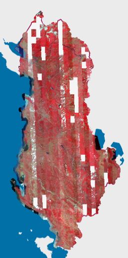 view on mapview in cataloguelinks
view on mapview in cataloguelinksCIR 2025 Satellite Orthophoto
wmtshttps://di-albania-satellite1.img.arcgis.com/arcgis/rest/services/rgb/Albania_2025_L1/MapServer/WMTS?request=GetCapabilities
Orthoimagery Coverage 2025Information on the coverage area and technical specifications of the 2025 orthoimagery. 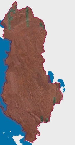 view on mapview in cataloguelinks
view on mapview in cataloguelinksOrthoimagery Coverage 2025
wmshttps://geoportal.asig.gov.al/service/asig/wms?request=GetCapabilities
Orthoimaging Covers 1994Orthoimaging Coverage of 1994 produced from scanned images of aerial photography of 1994, with an area of 4591 km2. 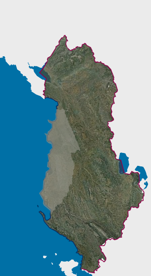 view on mapview in cataloguelinks
view on mapview in cataloguelinksOrthoimaging Covers 1994
WMS Linkhttps://geoportal.asig.gov.al/service/igju/wms?request=getcapabilities
Orthoimaging Covers 1999Orthoimaging cover of 1999 produced from scanned aerial imagery of 1999, with an area of 5989 km2. 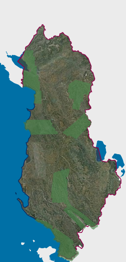 view on mapview in cataloguelinks
view on mapview in cataloguelinksOrthoimaging Covers 1999
WMS Linkhttps://geoportal.asig.gov.al/service/igju/wms?request=getcapabilities
Orthoimaging Covers 2001The orthoimaging cover of 2001 produced from the scanned images of the aerial photography of 2001, with an area of 3373 km2. 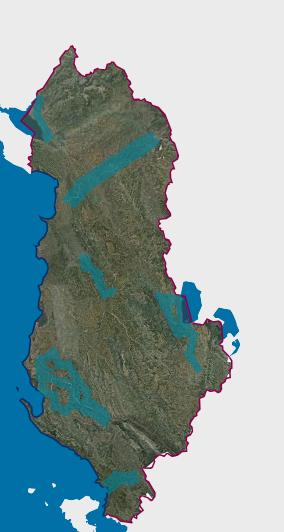 view on mapview in cataloguelinks
view on mapview in cataloguelinksOrthoimaging Covers 2001
WMS Linkhttps://geoportal.asig.gov.al/service/igju/wms?request=getcapabilities
Satellite Orthophoto 2025The 2025 Satellite Orthophoto covers 92% of the territory of the Republic of Albania from satellite images collected during the period from May 5, 2025 to July 28, 2025.  view on mapview in cataloguelinks
view on mapview in cataloguelinksSatellite Orthophoto 2025
wmtshttps://di-albania-satellite1.img.arcgis.com/arcgis/rest/services/rgb/Albania_2025_L3/MapServer/WMTS?request=GetCapabilities
Orthophoto CIR 2015 8cmOrtofoto for the territory of the Republic of Albania with infrared image (CIR). 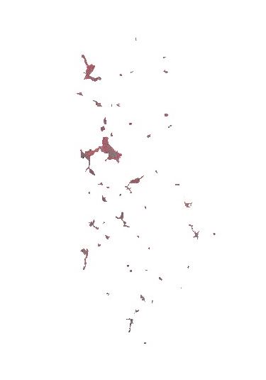 view on mapview in cataloguelinks
view on mapview in cataloguelinksOrthophoto CIR 2015 8cm
VMTS Linkhttps://geoportal.asig.gov.al/service/wmts?request=GetCapabilities
Orthoimagery Coverage (Year 1976-1986)Orthoimagery overlay for the 1976-1986 Orthophoto layer 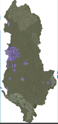 view on mapview in cataloguelinks
view on mapview in cataloguelinksOrthoimagery Coverage (Year 1976-1986)
wmshttps://geoportal.asig.gov.al/service/asig/wms?request=GetCapabilities
Orthophoto 1999The orthophoto of 1999 covers an area of about 5989 km2. This orthophoto is produced in GEOTIFF format and in the Geodetic Reference System, (KRGJSH) 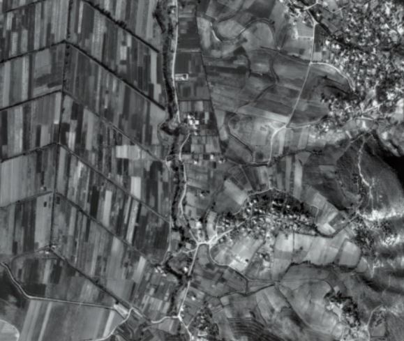 view on mapview in cataloguelinks
view on mapview in cataloguelinksOrthophoto 1999
https://geoportal.asig.gov.al/service/wmts?request=GetCapabilities
Orthophoto 2001The orthophoto of 2001 covers an area of about 3373 km2. This orthophoto is produced in GEOTIFF format and in the Geodetic Reference System, (KRGJSH). 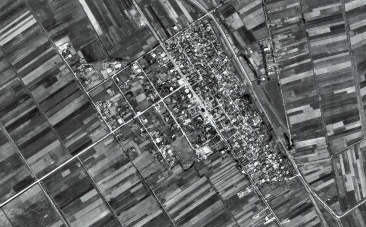 view on mapview in cataloguelinks
view on mapview in cataloguelinksOrthophoto 2001
https://geoportal.asig.gov.al/service/wmts?request=GetCapabilities
Orthoimage Coverage 2019 UAV The ortho-imaging orthophoto cover of 2019 (UAV), is a product of photography with UAV technology (Dron) of 24 urban areas. 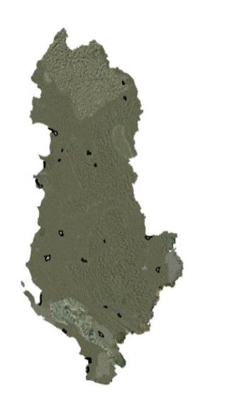 view on mapview in cataloguelinks
view on mapview in cataloguelinksOrthoimage Coverage 2019 UAV
WMS Linkhttps://geoportal.asig.gov.al/service/asig/wms?request=GetCapabilities
Orthophoto 1976-1986The orthophoto produced by photography between 1976-1986 covers 16 cities in Albania and their surroundings. 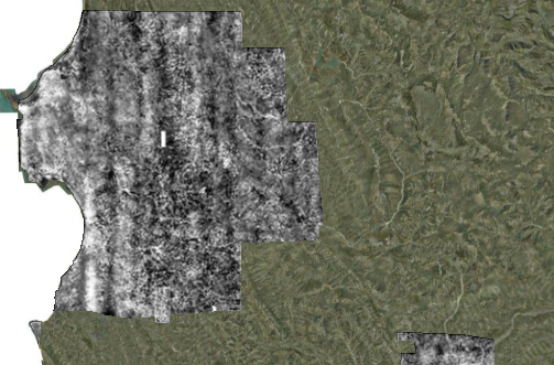 view on mapview in cataloguelinks
view on mapview in cataloguelinksOrthophoto 1976-1986
wmtshttps://geoportal.asig.gov.al/service/wmts?request=GetCapabilities
Orthophoto 1986The orthophoto produced by photography between 1976-1986 covers 16 cities in Albania and their surroundings. 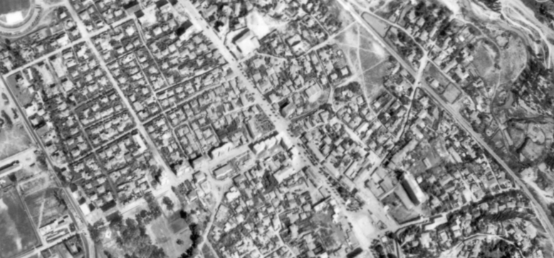 view on mapview in cataloguelinks
view on mapview in cataloguelinksOrthophoto 1986
wmtshttps://geoportal.asig.gov.al/service/wmts?request=GetCapabilities
Orthoimage Coverage (Year 2023) Information on the coverage area and technical specifications of the 2023 orthoimagery. 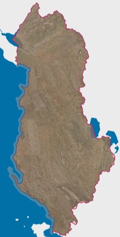 view on mapview in cataloguelinks
view on mapview in cataloguelinksOrthoimage Coverage (Year 2023)
wmshttps://geoportal.asig.gov.al/service/asig/wms?request=GetCapabilities
Orthoimagery Coverage 2024-2026 (UAV)Orthoimagery layer covering that includes photography of areas as a product of photography with UAV (Drone) technology. 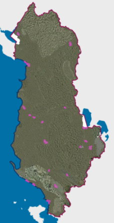 view on mapview in cataloguelinks
view on mapview in cataloguelinksOrthoimagery Coverage 2024-2026 (UAV)
wmshttps://geoportal.asig.gov.al/service/asig/wms?request=GetCapabilities
Satellite Orthophoto - CIR 2023 Orthophoto SatelliteThe CIR 2023 Satellite Orthophoto covers an area of about 28,748 km². It was obtained through the "Satellite Service" project financed by the Albanian Government 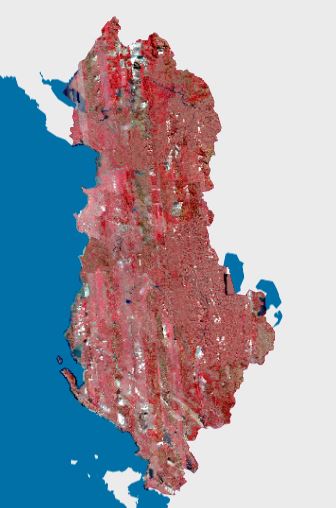 view on mapview in cataloguelinks
view on mapview in cataloguelinksSatellite Orthophoto - CIR 2023 Orthophoto Satellite
WMTShttps://di-albania-satellite1.img.arcgis.com/arcgis/rest/services/rgb/Albania_CIR2023/MapServer/WMTS?request=GetCapabilities
Satellite Orthophoto - RGB 2023 Orthophoto SatelliteOrthophoto Satellite 2023 covers an area of about 28 748 km². It was obtained through the "Satellite Service" project financed by the Albanian Government. 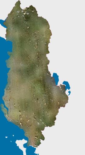 view on mapview in cataloguelinks
view on mapview in cataloguelinksSatellite Orthophoto - RGB 2023 Orthophoto Satellite
WMTShttps://di-albania-satellite1.img.arcgis.com/arcgis/rest/services/rgb/Albania_2023/MapServer/WMTS?request=GetCapabilities
Satellite Orthophoto - CIR 2024 Orthophoto SatelliteOrthophoto Satellite 2024 covers 98% of the territory of the Republic of Albania from satellite images collected during the period April 30, 2024 to November 27, 2024. It was obtained through the "Satellite Service" project funded by the Albanian Governme  view on mapview in cataloguelinks
view on mapview in cataloguelinksSatellite Orthophoto - CIR 2024 Orthophoto Satellite
WMTShttps://di-albania-satellite1.img.arcgis.com/arcgis/rest/services/rgb/Albania2024/MapServer/WMTS?request=GetCapabilities
Satellite Orthophoto - RGB 2024 Orthophoto SatelliteOrthophoto Satellite 2024 covers 98% of the territory of the Republic of Albania from satellite images collected during the period April 30, 2024 to November 27, 2024. It was obtained through the "Satellite Service" project funded by the Albanian Gov  view on mapview in cataloguelinks
view on mapview in cataloguelinksSatellite Orthophoto - RGB 2024 Orthophoto Satellite
WMTShttps://di-albania-satellite1.img.arcgis.com/arcgis/rest/services/rgb/Albania_2024L3/MapServer/WMTS?request=GetCapabilities
Orthophoto 2015 20cmOrthophoto RGB period 2015-2017 with a resolution of 20 cm per pixel which covers the territory of the Republic of Albania. 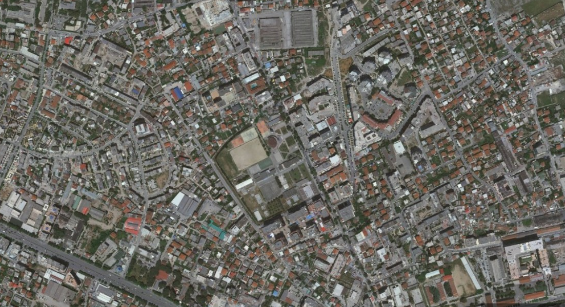 view on mapview in cataloguelinks
view on mapview in cataloguelinksOrthophoto 2015 20cm
WMTS Linkhttps://geoportal.asig.gov.al/service/wmts?request=GetCapabilities
Orthophoto 2007Orthophoto, produced by aerial photography of 2007 for the territory of Albania, divided into three lots. 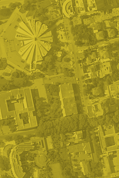 view on mapview in cataloguelinks
view on mapview in cataloguelinksOrthophoto 2007
WMTS linkhttps://geoportal.asig.gov.al/service/wmts?request=GetCapabilities
Orthophoto 2015 8cmOrthophoto of Urban Areas for 59 cities (1028 Sq km) . Rezolution 8 cm/pixel format RGB  view on mapview in cataloguelinks
view on mapview in cataloguelinksOrthophoto 2015 8cm
WTMS linkhttps://geoportal.asig.gov.al/service/wmts?request=getCapabilities
Agricultural and aquaculture facilities
Areas Designated for AquacultureDesignated areas for aquaculture aims to identify designated areas for a better integration of aquaculture with other coastal activities. 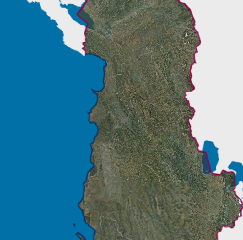 view on mapview in cataloguelinks
view on mapview in cataloguelinksAreas Designated for Aquaculture
WMS Linkhttps://geoportal.asig.gov.al/service/mbzhrau/wms?request=getcapabilities
Bio-geographical regions
Bio geographical regionsThe objective of the map of Bio geographical regions in Europe is to show the extent of areas with relatively homogeneous ecological conditions, within which, comparisons and assessments of different expressions of biodiversity are significant. 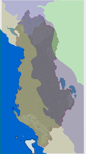 view on mapview in cataloguelinks
view on mapview in cataloguelinksBio geographical regions
WMS Linkhttps://geoportal.asig.gov.al/service/akzm/wms?request=getcapabilities
Buildings
Buildings (ASHK) Cartographic information of real estate indicative maps (HTR), at the time of initial registration. The information was submitted by the Immovable Property Registration Office, with letter no. 4030/12 prot. dt. 11.09.2014. 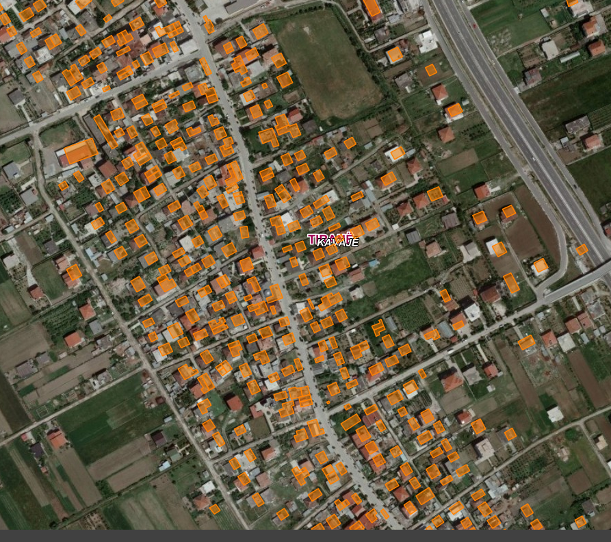 view on mapview in cataloguelinks
view on mapview in cataloguelinksBuildings (ASHK)
WMS linkhttps://geoportal.asig.gov.al/service/zrpp/wms?request=getcapabilities
Buildings(Addresses)Identification and construction of the layout of buildings for the address system for the territory of the Republic of Albania. 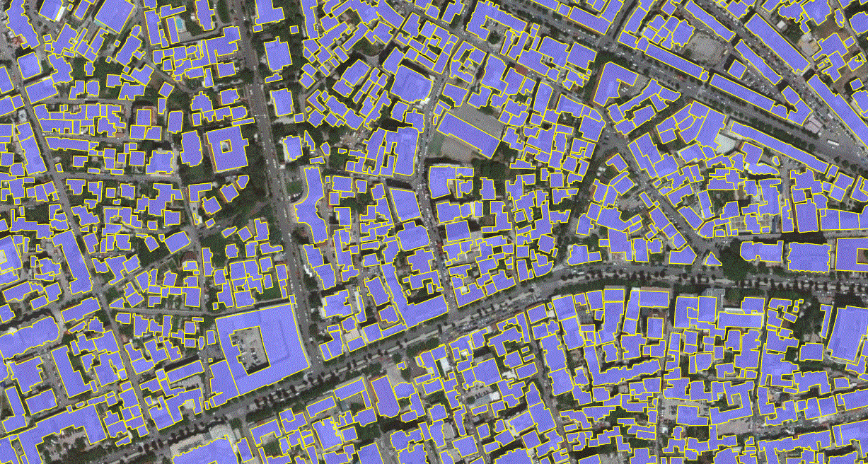 view on mapview in cataloguelinks
view on mapview in cataloguelinksBuildings(Addresses)
WMS linkhttps://geoportal.asig.gov.al/service/adresar/wms?request=getcapabilities
Environmental monitoring Facilities
Air Monitoring Network 2020 Air Monitoring Network 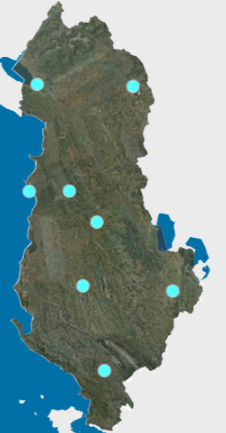 view on mapview in cataloguelinks
view on mapview in cataloguelinksAir Monitoring Network 2020
WMShttps://geoportal.asig.gov.al/service/akmjedis/wms?request=GetCapabilities
Erosion Monitoring Network 2020Erosion Monitoring Network 2020 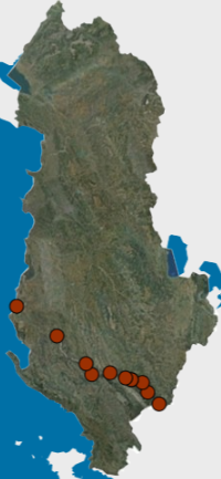 view on mapview in cataloguelinks
view on mapview in cataloguelinksErosion Monitoring Network 2020
WMShttps://geoportal.asig.gov.al/service/akmjedis/wms?request=GetCapabilities
Lagoon Monitoring Network 2020 Lagoon Monitoring Network 2020 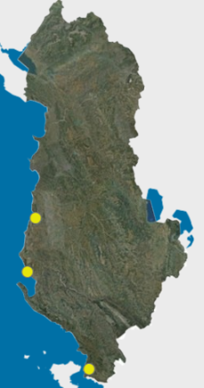 view on mapview in cataloguelinks
view on mapview in cataloguelinksLagoon Monitoring Network 2020
WMShttps://geoportal.asig.gov.al/service/akmjedis/wms?request=GetCapabilities
Water Lake Monitoring 2020 Water monitoring network of lakes Shkodër, Ohrid, Prespa e Madhe, Prespa e Vogël-2020. 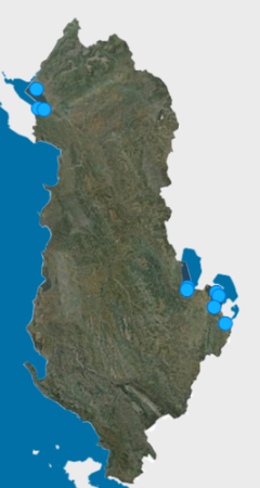 view on mapview in cataloguelinks
view on mapview in cataloguelinksWater Lake Monitoring 2020
WMShttps://geoportal.asig.gov.al/service/akmjedis/wms?request=GetCapabilities
Black Pine Monitoring Network 2020Rezultati i përkthimit Black pine monitoring, monitored areas, black pine species.  view on mapview in cataloguelinks
view on mapview in cataloguelinksBlack Pine Monitoring Network 2020
WMShttps://geoportal.asig.gov.al/service/akmjedis/wms?request=GetCapabilities
Endangered wood species monitoring networkMonitoring of forests that are at risk of extinction, for the year 2020.  view on mapview in cataloguelinks
view on mapview in cataloguelinksEndangered wood species monitoring network
WMShttps://geoportal.asig.gov.al/service/akmjedis/wms?request=GetCapabilities
River water monitoring network 2020The monitoring network of the physical-chemical indicators of the waters of the main rivers of Albania. 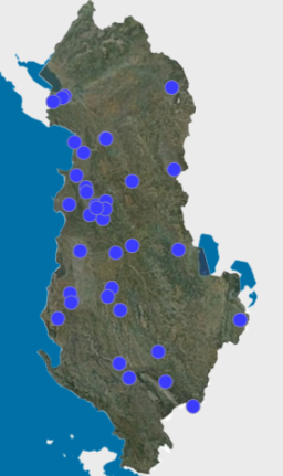 view on mapview in cataloguelinks
view on mapview in cataloguelinksRiver water monitoring network 2020
WMShttps://geoportal.asig.gov.al/service/akmjedis/wms?request=GetCapabilities
Discharge Water Monitoring Network 2020 Monitoring network of physico-chemical indicators of urban wastewater.  view on mapview in cataloguelinks
view on mapview in cataloguelinksDischarge Water Monitoring Network 2020
WMShttps://geoportal.asig.gov.al/service/akmjedis/wms?request=GetCapabilities
Microbiological monitoring network of coastal waters 2020Microbiological monitoring network of coastal waters 2020  view on mapview in cataloguelinks
view on mapview in cataloguelinksMicrobiological monitoring network of coastal waters 2020
WMS Linkhttps://geoportal.asig.gov.al/service/akmjedis/wms?request=GetCapabilities
Urban Noise Monitoring Network 2020 Location of noise pollution monitoring stations for several cities of the Republic of Albania.  view on mapview in cataloguelinks
view on mapview in cataloguelinksUrban Noise Monitoring Network 2020
WMS Linkhttps://geoportal.asig.gov.al/service/akmjedis/wms?request=GetCapabilities
Air Monitoring Network 2021Air monitoring network with measuring stations in several cities of the country for 2021. 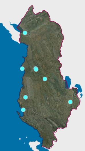 view on mapview in cataloguelinks
view on mapview in cataloguelinksAir Monitoring Network 2021
WMS Linkhttps://geoportal.asig.gov.al/service/akmjedis/wms?request=GetCapabilities
Erosion Monitoring Network 2021Monitoring the level of erosion of agricultural land on the banks of the main rivers of Albania, for the year 2021.  view on mapview in cataloguelinks
view on mapview in cataloguelinksErosion Monitoring Network 2021
WMS Linkhttps://geoportal.asig.gov.al/service/akmjedis/wms?request=GetCapabilities
Lagoon Monitoring Network 2021Water quality monitoring network of lagoons, Butrint, Karavasta, Nartë 2021.  view on mapview in cataloguelinks
view on mapview in cataloguelinksLagoon Monitoring Network 2021
WMS Linkhttps://geoportal.asig.gov.al/service/akmjedis/wms?request=GetCapabilities
Water lake monitoring 2021Water monitoring network of lakes Shkodër, Ohrid, Prespa e Madhe, Prespa e Vogël-2021.  view on mapview in cataloguelinks
view on mapview in cataloguelinksWater lake monitoring 2021
WMS Linkhttps://geoportal.asig.gov.al/service/akmjedis/wms?request=GetCapabilities
River water monitoring network 2021The monitoring network of the physico-chemical indicators of the waters of the main rivers of Albania. 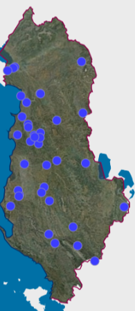 view on mapview in cataloguelinks
view on mapview in cataloguelinksRiver water monitoring network 2021
WMShttps://geoportal.asig.gov.al/service/akmjedis/wms?request=GetCapabilities
Discharge Monitoring Network 2021Monitoring network of physico-chemical indicators of urban discharges.  view on mapview in cataloguelinks
view on mapview in cataloguelinksDischarge Monitoring Network 2021
WMShttps://geoportal.asig.gov.al/service/akmjedis/wms?request=GetCapabilities
Microbiological monitoring network of coastal waters 2021Microbiological monitoring network of coastal waters 2021  view on mapview in cataloguelinks
view on mapview in cataloguelinksMicrobiological monitoring network of coastal waters 2021
WMShttps://geoportal.asig.gov.al/service/akmjedis/wms?request=GetCapabilities
Urban noise monitoring network 2021Location of noise pollution monitoring stations for several cities of the Republic of Albania.  view on mapview in cataloguelinks
view on mapview in cataloguelinksUrban noise monitoring network 2021
https://geoportal.asig.gov.al/service/akmjedis/wms?request=GetCapabilities
Land Quality Monitoring NetworkSoil quality monitoring network under the National Environmental Monitoring Plan.  view on mapview in cataloguelinks
view on mapview in cataloguelinksLand Quality Monitoring Network
WMS Linkhttps://geoportal.asig.gov.al/service/akmjedis/wms?request=getcapabilities
River Water Monitoring Network for Heavy Metals (2023)Assessment of the content of heavy metals in surface waters: rivers, lakes and lagoons in the territory of the Republic of Albania. 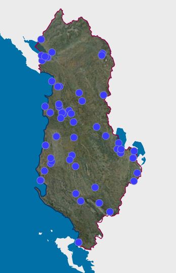 view on mapview in cataloguelinks
view on mapview in cataloguelinksRiver Water Monitoring Network for Heavy Metals (2023)
wmshttps://geoportal.asig.gov.al/service/akmjedis/wms?request=GetCapabilities
Groundwater Monitoring Network (2023)Groundwater monitoring in the main basins of Albania. 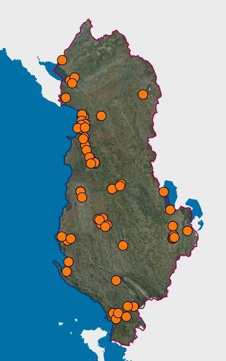 view on mapview in cataloguelinks
view on mapview in cataloguelinksGroundwater Monitoring Network (2023)
wmshttps://geoportal.asig.gov.al/service/akmjedis/wms?request=GetCapabilities
Microbiological monitoring network of waters,2023Monitoring of indicators of coastal waters.  view on mapview in cataloguelinks
view on mapview in cataloguelinksMicrobiological monitoring network of waters,2023
wmshttps://geoportal.asig.gov.al/service/akmjedis/wms?request=GetCapabilities
Discharge Water Monitoring Network (2023)Monitoring network of physico-chemical indicators of discharge urban.  view on mapview in cataloguelinks
view on mapview in cataloguelinksDischarge Water Monitoring Network (2023)
wmshttps://geoportal.asig.gov.al/service/akmjedis/wms?request=GetCapabilities
River Water Monitoring Network (2023)Network for monitoring physico-chemical indicators of the waters of the main rivers of Albania. The data are in accordance with the corresponding standard - Topic: Infrastructure for environmental monitoring.  view on mapview in cataloguelinks
view on mapview in cataloguelinksRiver Water Monitoring Network (2023)
WMS Linkhttps://geoportal.asig.gov.al/service/akmjedis/wms?request=GetCapabilities
River Water Monitoring Network, Tributaries 2023Network for monitoring physico-chemical indicators of river waters (Tributaries). The data are in accordance with the corresponding standard - Topic: Infrastructure for environmental monitoring. 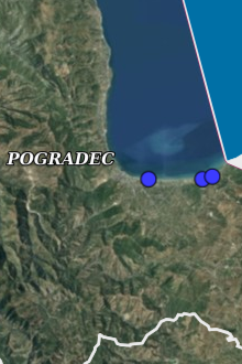 view on mapview in cataloguelinks
view on mapview in cataloguelinksRiver Water Monitoring Network, Tributaries 2023
WMS Linkhttps://geoportal.asig.gov.al/service/akmjedis/wms?request=GetCapabilities
Lake Water Monitoring Network (2023)Water monitoring network of Lakes Shkodra, Ohrid, Greater Prespa, Lesser Prespa. The data are in accordance with the corresponding standards - Topic: Infrastructure for environmental monitoring. 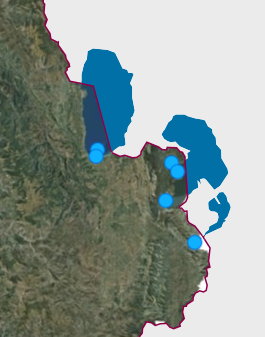 view on mapview in cataloguelinks
view on mapview in cataloguelinksLake Water Monitoring Network (2023)
WMS Linkhttps://geoportal.asig.gov.al/service/akmjedis/wms?request=GetCapabilities
Discharge water monitoring network.Network for monitoring the physico-chemical indicators of urban discharge waters. The data conform to the State Standard for Specifications. 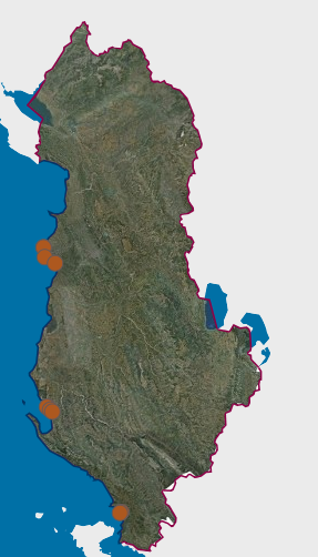 view on mapview in cataloguelinks
view on mapview in cataloguelinksDischarge water monitoring network.
WMS Linkhttps://geoportal.asig.gov.al/service/akmjedis/wms?request=getcapabilities
Air Monitoring Network (2023)Air quality monitoring network. The data are in accordance with the corresponding standard - Topic: Infrastructure for environmental monitoring. 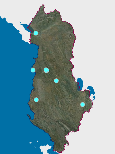 view on mapview in cataloguelinks
view on mapview in cataloguelinksAir Monitoring Network (2023)
WMS Linkhttps://geoportal.asig.gov.al/service/akmjedis/wms?request=GetCapabilities
River Waters Monitoring Network Monitoring network of physicochemical indicators of the main rivers of Albania. 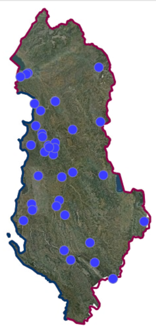 view on mapview in cataloguelinks
view on mapview in cataloguelinksRiver Waters Monitoring Network
WMS Linkhttps://geoportal.asig.gov.al/service/akmjedis/wms?request=getcapabilities
Lagoon Monitoring Network (Point)Lagoon Water Quality Monitoring Network, Butrint, Patok, Knall, Karavasta, Narta, Kune Vain.  view on mapview in cataloguelinks
view on mapview in cataloguelinksLagoon Monitoring Network (Point)
WMS Linkhttps://geoportal.asig.gov.al/service/akmjedis/wms?request=getcapabilities
Ground Water Monitoring Network Groundwater monitoring network in Albania's main basins.  view on mapview in cataloguelinks
view on mapview in cataloguelinksGround Water Monitoring Network
WMS Linkhttps://geoportal.asig.gov.al/service/akmjedis/wms?request=getcapabilities
River water monitoring network for heavy metals 2022Monitoring network of metals in the waters of the main rivers of Albania.  view on mapview in cataloguelinks
view on mapview in cataloguelinksRiver water monitoring network for heavy metals 2022
wmshttps://geoportal.asig.gov.al/service/akmjedis/wms?request=GetCapabilities
River water monitoring network (tributary) 2022The monitoring network of the physical-chemical indicators of the waters of the main rivers of Albania (tributaries).  view on mapview in cataloguelinks
view on mapview in cataloguelinksRiver water monitoring network (tributary) 2022
wmshttps://geoportal.asig.gov.al/service/akmjedis/wms?request=GetCapabilities
Water Lake Monitoring NetworkLake Waters Monitoring Network Shkodra, Ohrid, Greater Prespa, Lesser Prespa-2019.  view on mapview in cataloguelinks
view on mapview in cataloguelinksWater Lake Monitoring Network
WMS Linkhttps://geoportal.asig.gov.al/service/akmjedis/wms?request=getcapabilities
River water monitoring network, physical-chemical properties 2022The monitoring network of the physico-chemical indicators of the waters of the main rivers of Albania  view on mapview in cataloguelinks
view on mapview in cataloguelinksRiver water monitoring network, physical-chemical properties 2022
wmshttps://geoportal.asig.gov.al/service/akmjedis/wms?request=GetCapabilities
Diacharge Monitoring Network 2022Monitoring network of physico-chemical indicators of urban discharge  view on mapview in cataloguelinks
view on mapview in cataloguelinksDiacharge Monitoring Network 2022
wmshttps://geoportal.asig.gov.al/service/akmjedis/wms?request=GetCapabilities
Microbiological monitoring network of waters 2022Microbiological monitoring of coastal bathing waters on the beaches of Velipoja, Shengjin, Tales, Durres, Gjiri t Lalzi, Kavaja, Divjaka, Seman, Vlora, Palasa, Dhërmi, Himara, Borsh, Qeparo, Ksamil, Saranda, Pogra  view on mapview in cataloguelinks
view on mapview in cataloguelinksMicrobiological monitoring network of waters 2022
wmshttps://geoportal.asig.gov.al/service/akmjedis/wms?request=GetCapabilities
Urban noise monitoring network 2022 Location of noise pollution monitoring stations for several cities of the Republic of Albania  view on mapview in cataloguelinks
view on mapview in cataloguelinksUrban noise monitoring network 2022
wmshttps://geoportal.asig.gov.al/service/akmjedis/wms?request=GetCapabilities
Lagoon monitoring network, (Polygon)Lagoon water quality monitoring network, Butrint, Patok, Knall, Karavasta, Narta, Kune Vain.  view on mapview in cataloguelinks
view on mapview in cataloguelinksLagoon monitoring network, (Polygon)
WMS Linkhttps://geoportal.asig.gov.al/service/akmjedis/wms?request=getcapabilities
Lagoon Monitoring Network 2022Butrint lagoon water quality monitoring network 2022.  view on mapview in cataloguelinks
view on mapview in cataloguelinksLagoon Monitoring Network 2022
wmshttps://geoportal.asig.gov.al/service/akmjedis/wms?request=GetCapabilities
Lake Monitoring Network 2022Water monitoring network of lakes Shkodër, Ohrid, Prespa e Madhe, Prespa e Vogël-2022.  view on mapview in cataloguelinks
view on mapview in cataloguelinksLake Monitoring Network 2022
wmshttps://geoportal.asig.gov.al/service/akmjedis/wms?request=GetCapabilities
Urban Noise Monitoring Network (2023)The network contains all noise monitoring stations for several cities in the country.  view on mapview in cataloguelinks
view on mapview in cataloguelinksUrban Noise Monitoring Network (2023)
wmshttps://geoportal.asig.gov.al/service/akmjedis/wms?request=GetCapabilities
Air Monitoring NetworkLocation of air quality monitoring stations.  view on mapview in cataloguelinks
view on mapview in cataloguelinksAir Monitoring Network
WMS Linkhttps://geoportal.asig.gov.al/service/akmjedis/wms?request=getcapabilities
Urban noise Monitoring NetworkLocation of Pollution and Noise Monitoring Stations  view on mapview in cataloguelinks
view on mapview in cataloguelinksUrban noise Monitoring Network
WMS Linkhttps://geoportal.asig.gov.al/service/akmjedis/wms?request=getcapabilities
Land use
Land types (coverage area)This layer recommends the covered area of soil types. Soil type is a soil classification that combines soil characteristics that are the result of soil-forming processes. The information is in shapefile format on the original WGS84 / UTM34N. 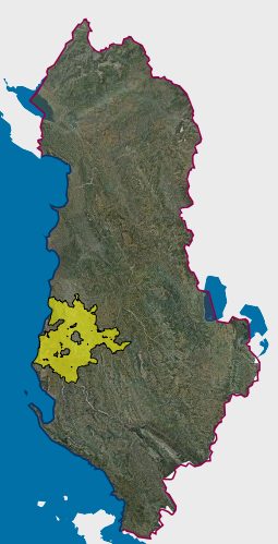 view on mapview in cataloguelinks
view on mapview in cataloguelinksLand types (coverage area)
https://geoportal.asig.gov.al/service/qttb/wms?request=getcapabilities
QTTB - Land SuitabilityOn the classification of land according to its suitability (updated 2019). 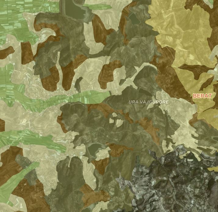 view on mapview in cataloguelinks
view on mapview in cataloguelinksQTTB - Land Suitability
WMS Linkhttps://geoportal.asig.gov.al/service/qttb/wms?request=getcapabilities
General National Plan - Urban SystemPPK recognizes the importance of consolidating large peripheral cities and the central region in the national territory to ensure balanced spatial development. 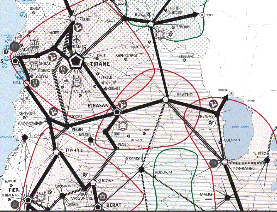 view on mapview in cataloguelinks
view on mapview in cataloguelinksGeneral National Plan - Urban System
WMTS Linkhttps://geoportal.asig.gov.al/service/wmts?request=GetCapabilities
PINS Coastaline - Inftrstructure SystemThe infrastructure system contains the main infrastructure networks at national, regional and local level. Infrastructure system is formed by the network with basic category of land use "infrastructure" (IN). 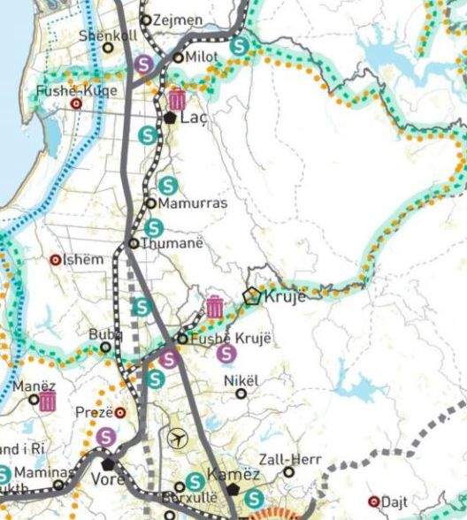 view on mapview in cataloguelinks
view on mapview in cataloguelinksPINS Coastaline - Inftrstructure System
WMTS Linkhttps://geoportal.asig.gov.al/service/wmts?request=GetCapabilities
General National Plan - Areas of National ImportanceThis map is disconnected from the National General Plan, which was approved by the Council of Ministers Decision no. 881, dated 14.12.2016. 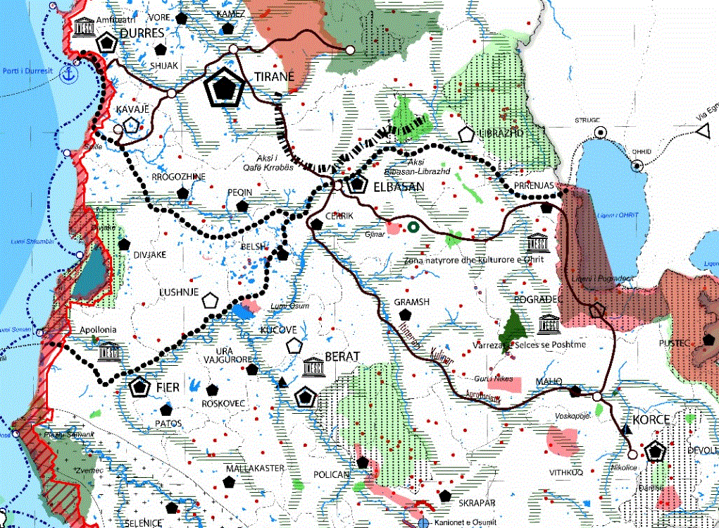 view on mapview in cataloguelinks
view on mapview in cataloguelinksGeneral National Plan - Areas of National Importance
WMS Linkhttps://geoportal.asig.gov.al/service/wmts?request=GetCapabilities
PINS Coastline - Agricultural SystemThe agricultural system consists of agricultural land, occupied with the plants of fields, orchards, vineyards and olive groves, wherever it is and having its essential characteristics, fertility and canals, reservoirs in its service.  view on mapview in cataloguelinks
view on mapview in cataloguelinksPINS Coastline - Agricultural System
WMTS Linkhttps://geoportal.asig.gov.al/service/wmts?request=GetCapabilities
QTTB - Soil typesSoil type is a soil classification that combines soil characteristics that are the result of soil-forming processes.  view on mapview in cataloguelinks
view on mapview in cataloguelinksQTTB - Soil types
WMS Linkhttps://geoportal.asig.gov.al/service/qttb/wms?
Land use (Coverage area) This layer defines the land use coverage area. Land use is defined as the type of human activity that occurs on or near the land surface.  view on mapview in cataloguelinks
view on mapview in cataloguelinksLand use (Coverage area)
https://geoportal.asig.gov.al/service/akpt/wms?request=getcapabilities
Land suitability (coverage area)This layer determines the coverage area of soil suitability. 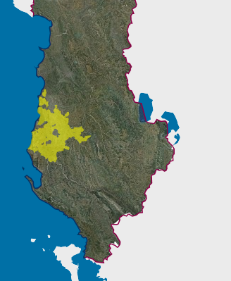 view on mapview in cataloguelinks
view on mapview in cataloguelinksLand suitability (coverage area)
https://geoportal.asig.gov.al/service/qttb/wms?request=getcapabilities
PINS Tiranë-Durrës - Urban SystemThe urban system (UB) is formed by the unification of urban territories and is bordered by the "Green Line" of urbanization development. 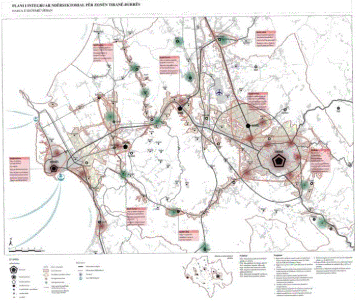 view on mapview in cataloguelinks
view on mapview in cataloguelinksPINS Tiranë-Durrës - Urban System
WMTS linkhttps://geoportal.asig.gov.al/service/wmts?request=GetCapabilities
Land use planning, structural unit and land useThe General Local Plan defines the mandatory reference framework for the protection and use of the administrative territory of the local government unit (municipality). 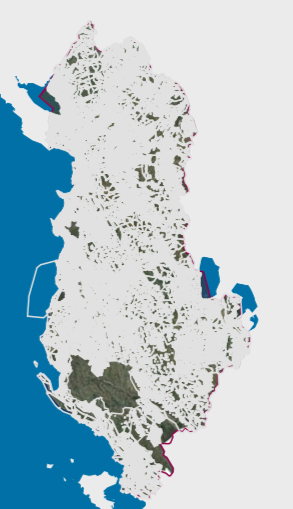 view on mapview in cataloguelinks
view on mapview in cataloguelinksLand use planning, structural unit and land use
wmshttps://geoportal.asig.gov.al/service/akpt/wms?request=GetCapabilities
Land use planning, Proposed land use categoriesThe proposed categories of land use determines the use of colors for the categories of land use according to the Approved Land Use Map of the Local General Plan and Instruction No. 1, dated 12.08.2020.. 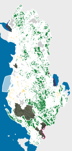 view on mapview in cataloguelinks
view on mapview in cataloguelinksLand use planning, Proposed land use categories
wmshttps://geoportal.asig.gov.al/service/akpt/wms?request=GetCapabilities
Land use planning, Spatial PlanThe geospatial boundary plan of the administrative unit for which the Local General Plan was drawn up. 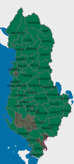 view on mapview in cataloguelinks
view on mapview in cataloguelinksLand use planning, Spatial Plan
wmshttps://geoportal.asig.gov.al/service/akpt/wms?request=GetCapabilities
PINS Tiranë-Durrës - Agricultural SystemThe agricultural system consists of agricultural land, occupied with the plants of fields, orchards, vineyards and olive groves, wherever it is and having its essential characteristics, fertility and canals, reservoirs in its service. 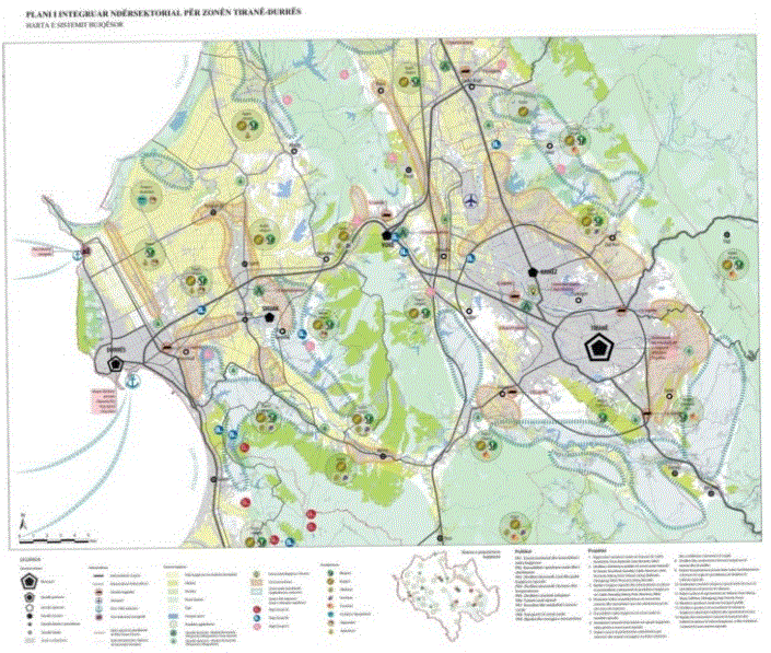 view on mapview in cataloguelinks
view on mapview in cataloguelinksPINS Tiranë-Durrës - Agricultural System
WMTS linkhttps://geoportal.asig.gov.al/service/wmts?request=GetCapabilities
PINS Tiranë-Durrës - Inrastructure SystemThe infrastructure system contains the main infrastructure networks at national, regional and local level. 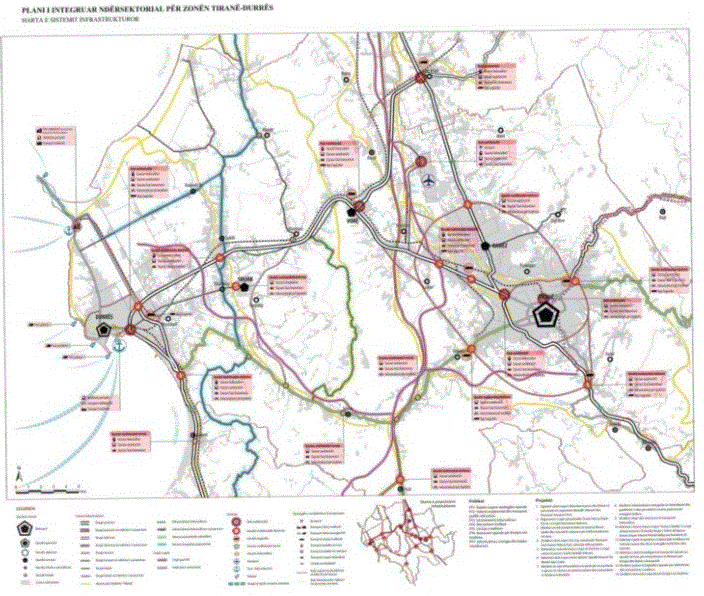 view on mapview in cataloguelinks
view on mapview in cataloguelinksPINS Tiranë-Durrës - Inrastructure System
WMTS linkhttps://geoportal.asig.gov.al/service/wmts?request=GetCapabilities
Existing land use, Vineyard CadastreThe Vineyard Cadastre is a system composed of standardized geographical and textual data for the identification, registration, and monitoring of all vineyard areas cultivated within the territory of Albania. 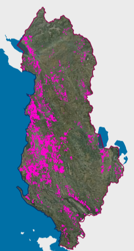 view on mapview in cataloguelinks
view on mapview in cataloguelinksExisting land use, Vineyard Cadastre
wmshttps://geoportal.asig.gov.al/service/qttb/wms?request=GetCapabilities
PINS Coastaline - Water SystemThe water system is the totality of groundwater and groundwater resources, containing all water bodies, including the shores according to the provisions of the special legislation. 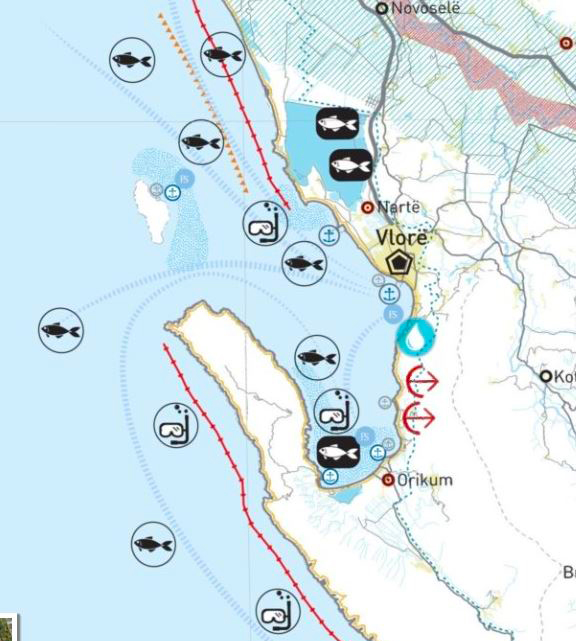 view on mapview in cataloguelinks
view on mapview in cataloguelinksPINS Coastaline - Water System
WMTS Linkhttps://geoportal.asig.gov.al/service/wmts?request=GetCapabilities
PINS Coastaline - TourismThis dataset illustrates the areas that are classified as a National Interest Area for the values that are in the planning and sustainable development of the territory. 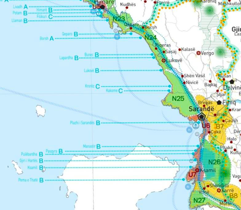 view on mapview in cataloguelinks
view on mapview in cataloguelinksPINS Coastaline - Tourism
WMTS Linkhttps://geoportal.asig.gov.al/service/wmts?request=GetCapabilities
General National Plan - Agricultural SystemInformation on PPK support in the agricultural system.  view on mapview in cataloguelinks
view on mapview in cataloguelinksGeneral National Plan - Agricultural System
WMTS linkhttps://geoportal.asig.gov.al/service/wmts?request=GetCapabilities
General National Plan - Natural SystemPPK approach to the natural system expresses two main concepts: Promotion and Access.  view on mapview in cataloguelinks
view on mapview in cataloguelinksGeneral National Plan - Natural System
WMTS linkhttps://geoportal.asig.gov.al/service/wmts?request=GetCapabilities
General National Plan - Water SystemPPK follows the principles for protection from intensive use of river inertes, protection against the effects of landfill sites, protection against the effects of agricultural and industrial activities. 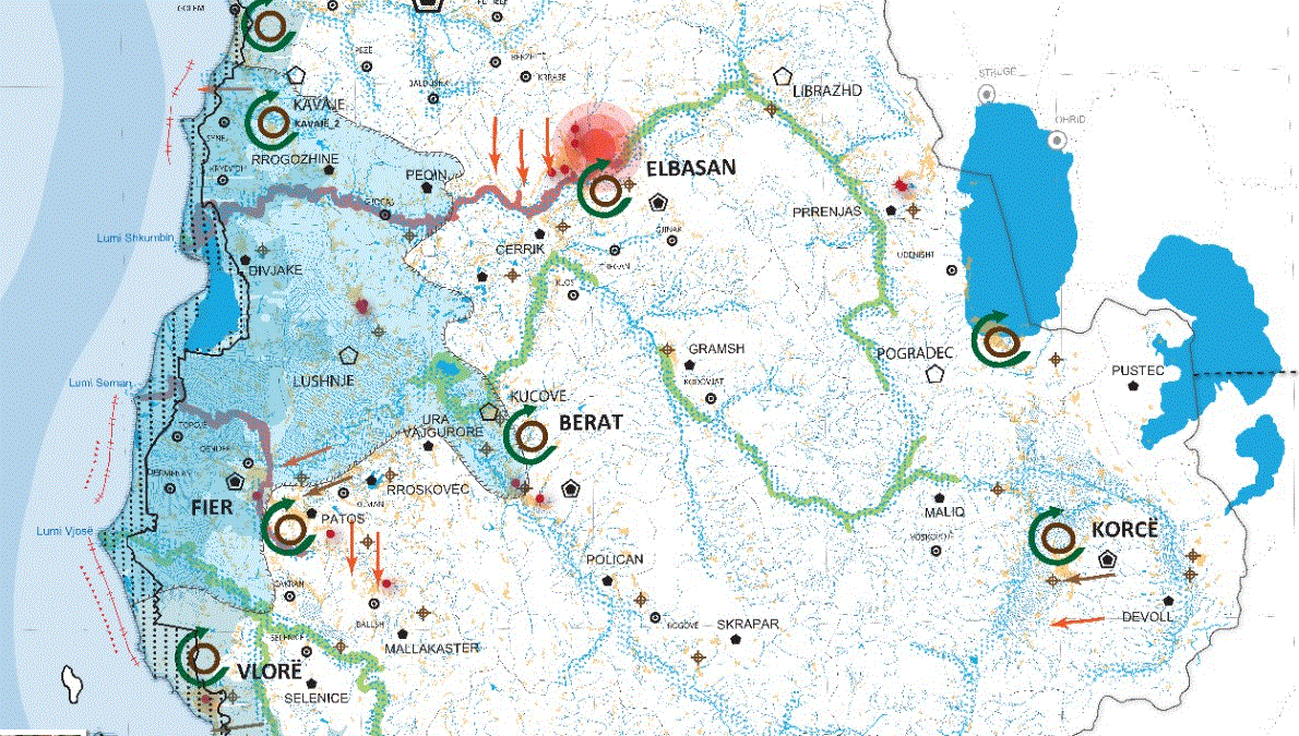 view on mapview in cataloguelinks
view on mapview in cataloguelinksGeneral National Plan - Water System
WMTS linkhttps://geoportal.asig.gov.al/service/wmts?request=GetCapabilities
PINS Tiranë-Durrës - Nature and Water SystemThe natural and aquatic system is the totality of groundwater and aquatic surface water resources, containing all water bodies, including the shores according to the specific legislation. 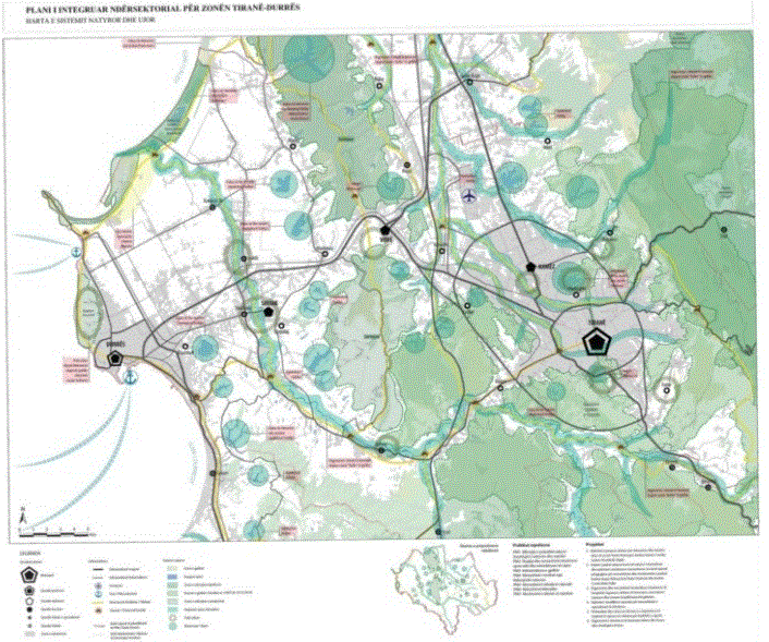 view on mapview in cataloguelinks
view on mapview in cataloguelinksPINS Tiranë-Durrës - Nature and Water System
WMTS linkhttps://geoportal.asig.gov.al/service/wmts?request=GetCapabilities
PINS Tiranë-Durrës - Economy and TourismThe Inter-Sectoral Integrated Plan for the Tirana-Durres Economic Zone is compiled according to law 107/2014, dated 31/07/2014, "On Territorial Planning and Development". 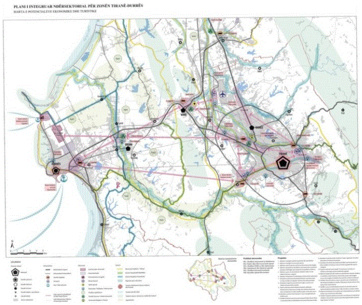 view on mapview in cataloguelinks
view on mapview in cataloguelinksPINS Tiranë-Durrës - Economy and Tourism
WMTS linkhttps://geoportal.asig.gov.al/service/wmts?request=GetCapabilities
PINS Coastaline - Natural SystemThe natural system consists of landscapes, untouched nature spaces, ecological corridors and spaces that have a basic category of "nature" use (N), and in accordance with the special legislation. 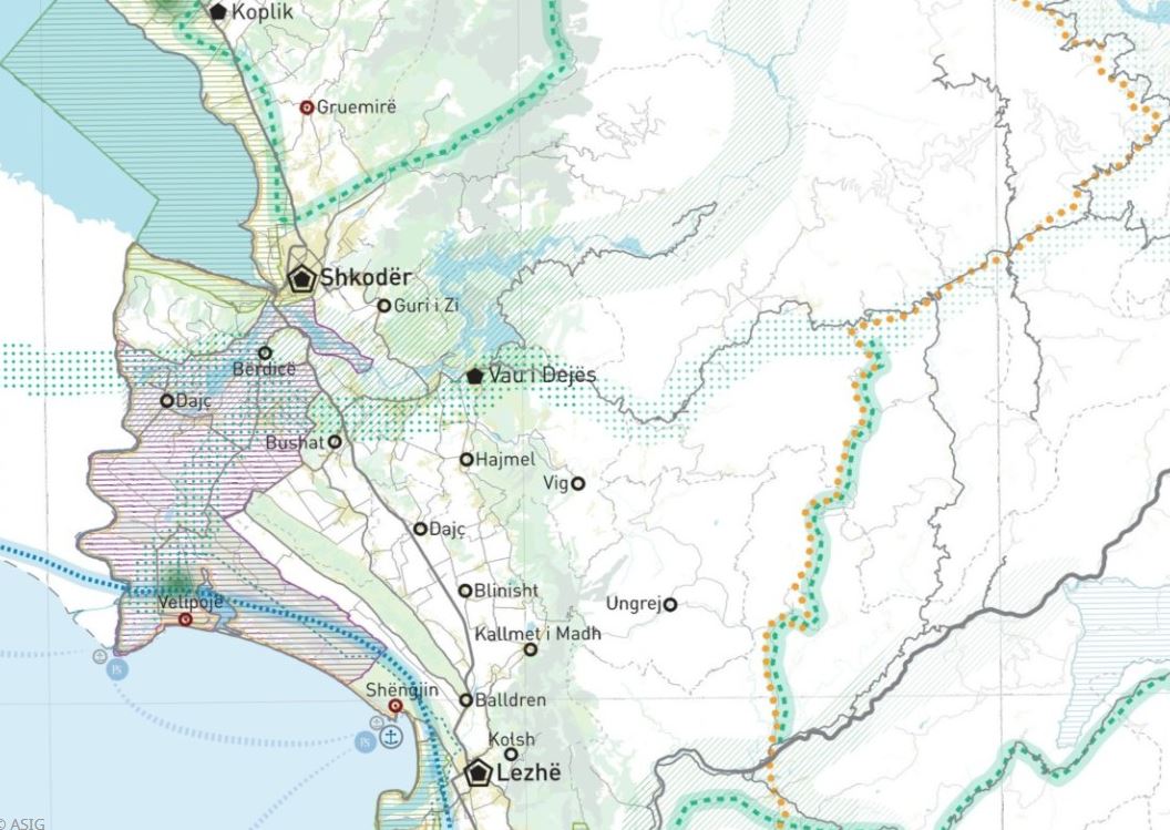 view on mapview in cataloguelinks
view on mapview in cataloguelinksPINS Coastaline - Natural System
WMTS Linkhttps://geoportal.asig.gov.al/service/wmts?request=GetCapabilities
National General Plan - Coastal BeltThis shapefile is disconnected from the National General Plan, which was approved by the Council of Ministers Decision no. 881, dated 14.12.2016. 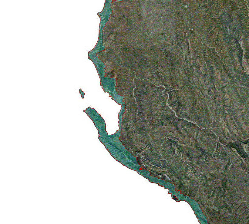 view on mapview in cataloguelinks
view on mapview in cataloguelinksNational General Plan - Coastal Belt
WMS linkhttps://geoportal.asig.gov.al/service/akpt/wms?request=getcapabilities
General National Plan - Energy InfrastructurePPP follows the principles of Diversification towards renewable energy and unification of energy corridors with transport infrastructure corridors, as appropriate. 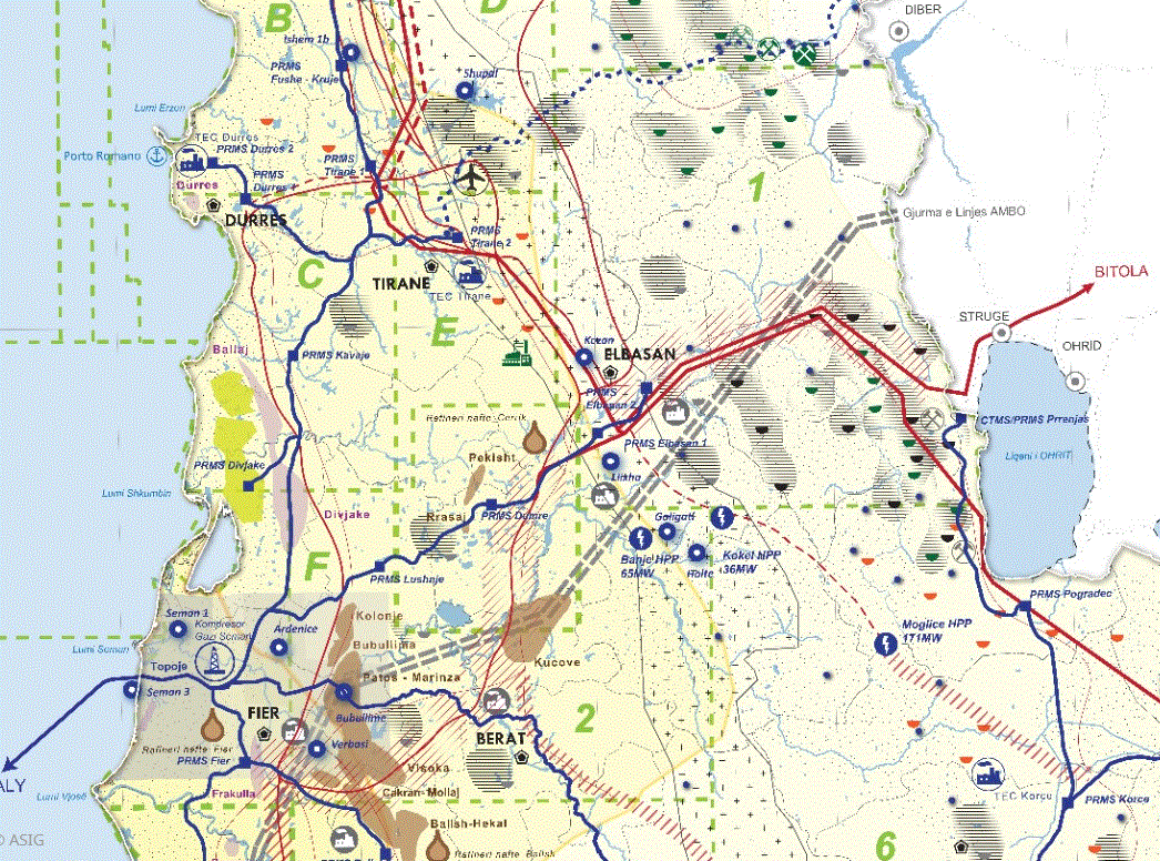 view on mapview in cataloguelinks
view on mapview in cataloguelinksGeneral National Plan - Energy Infrastructure
WMTShttps://geoportal.asig.gov.al/service/wmts?request=GetCapabilities
PINS Coastaline -Urban SystemThe urban system (UB) is formed by the unification of urban territories and is bordered by the green line. 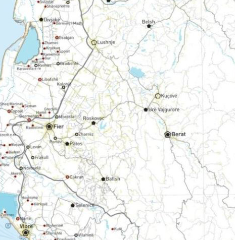 view on mapview in cataloguelinks
view on mapview in cataloguelinksPINS Coastaline -Urban System
WMTS Linkhttps://geoportal.asig.gov.al/service/wmts?request=GetCapabilities
QTTB - Land UseCharacteristics of the land and its function today and in the future. 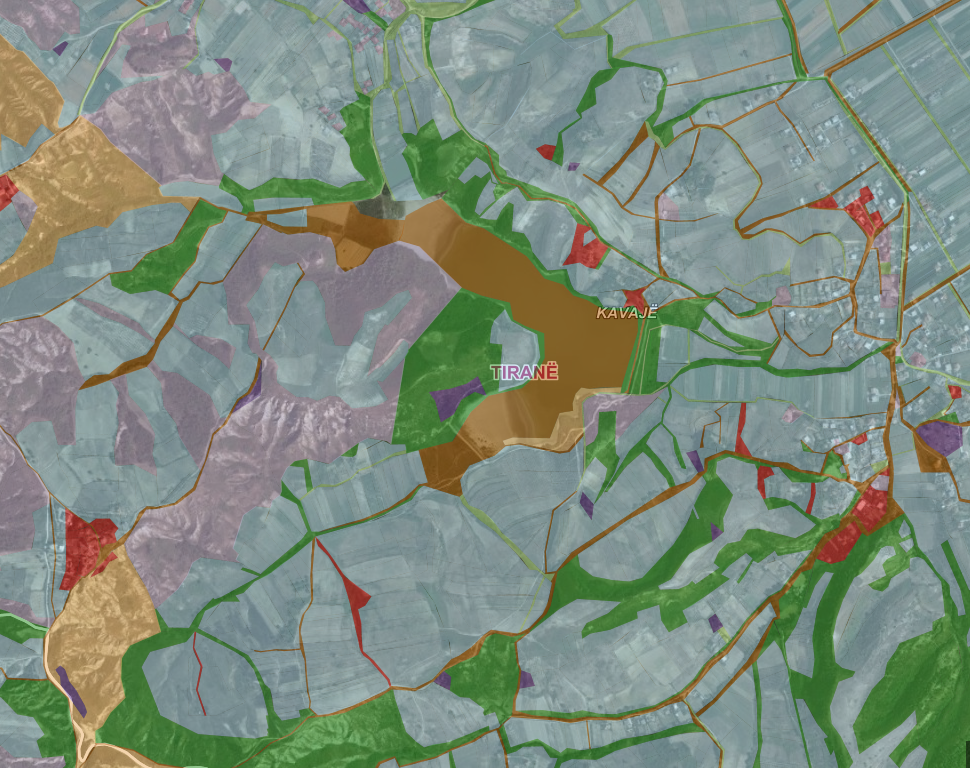 view on mapview in cataloguelinks
view on mapview in cataloguelinksQTTB - Land Use
WMS Linkhttps://geoportal.asig.gov.al/service/qttb/wms?request=getcapabilities
Urban AreasIdentification of urban areas in the territory of the republic of Albania. 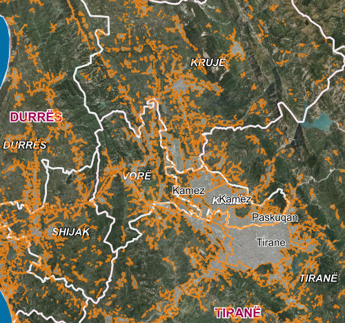 view on mapview in cataloguelinks
view on mapview in cataloguelinksUrban Areas
WMS Linkhttps://geoportal.asig.gov.al/service/akpt/wms?request=getcapabilities
Mineral Resources
Mining exploitation permitThis layer represents the mining exploitation permits approved by the Ministry of Infrastructure and Energy. They are distributed throughout the territory of Albania according to the mineral for which this permit was approved.  view on mapview in cataloguelinks
view on mapview in cataloguelinksMining exploitation permit
wmshttps://geoportal.asig.gov.al/service/akbn/wms?request=GetCapabilities
Mining hazardous areas according to VKM 347Mining hazardous areas according to VKM 347  view on mapview in cataloguelinks
view on mapview in cataloguelinksMining hazardous areas according to VKM 347
https://geoportal.asig.gov.al/service/akbn/wms?&request=GetCapabilities
Mining hazardous areas according to VKM 726Mining hazardous areas according to VKM 726  view on mapview in cataloguelinks
view on mapview in cataloguelinksMining hazardous areas according to VKM 726
WMS Linkhttps://geoportal.asig.gov.al/service/akbn/wms?&request=GetCapabilities
Areas planned by (DCM 347)Planned areas according to VKM 347  view on mapview in cataloguelinks
view on mapview in cataloguelinksAreas planned by (DCM 347)
WMS Linkhttps://geoportal.asig.gov.al/service/akbn/wms?&request=GetCapabilities
Old Mining AreasOld Mining Areas 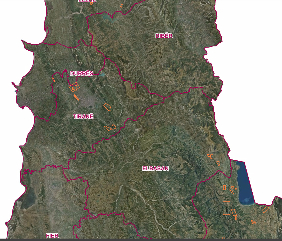 view on mapview in cataloguelinks
view on mapview in cataloguelinksOld Mining Areas
https://geoportal.asig.gov.al/service/akbn/wms?&request=GetCapabilities
Mineral ResourcesMap of Mining Assets on a scale of 1: 200,000 represents the main mineral deposits of Albania. 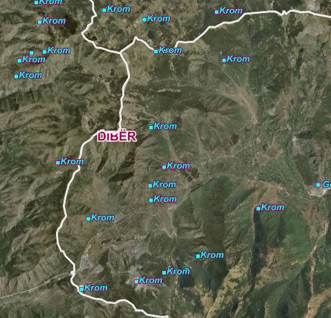 view on mapview in cataloguelinks
view on mapview in cataloguelinksMineral Resources
WMS Linkhttps://geoportal.asig.gov.al/service/akbn/wms?request=getcapabilities
Natural risk zones
Flood hazard maps, Shkumbin 2 basin, water depth (m) probability 1 time in 200 years (0.5%)This layer complies with the EU Floods Directive, which presents a risk map for the area as well as for the specific period of return time.  view on mapview in cataloguelinks
view on mapview in cataloguelinksFlood hazard maps, Shkumbin 2 basin, water depth (m) probability 1 time in 200 years (0.5%)
wmshttps://geoportal.asig.gov.al/service/ambu/wms?request=GetCapabilities
Flood hazard maps,Drin- Bunë basin, water depth (m) probability 1 time in 50 years (2%) Map of flood risk areas in the Drin-Buna basin depending on recurrence periods  view on mapview in cataloguelinks
view on mapview in cataloguelinksFlood hazard maps,Drin- Bunë basin, water depth (m) probability 1 time in 50 years (2%)
wmshttps://geoportal.asig.gov.al/service/ambu/wms?request=GetCapabilities
Flood hazard maps,Drin- Bunë basin, water depth (m) probability 1 time in 100 years (1%)Map of flood risk areas in the Drin-Buna basin depending on recurrence periods  view on mapview in cataloguelinks
view on mapview in cataloguelinksFlood hazard maps,Drin- Bunë basin, water depth (m) probability 1 time in 100 years (1%)
wmshttps://geoportal.asig.gov.al/service/ambu/wms?request=GetCapabilities
Flood hazard maps,Drin- Bunë basin, water depth (m) probability 1 time in 200 years (0.5%)Map of flood risk areas in the Drin-Buna basin depending on recurrence periods  view on mapview in cataloguelinks
view on mapview in cataloguelinksFlood hazard maps,Drin- Bunë basin, water depth (m) probability 1 time in 200 years (0.5%)
https://geoportal.asig.gov.al/service/ambu/wms?request=GetCapabilities
Flood hazard maps, ,Ishëm basin, water depth (m) probability 1 time in 50 years (2%)This layer complies with the EU Floods Directive, which presents a risk map for the area as well as for the specific period of return time.  view on mapview in cataloguelinks
view on mapview in cataloguelinksFlood hazard maps, ,Ishëm basin, water depth (m) probability 1 time in 50 years (2%)
wmshttps://geoportal.asig.gov.al/service/ambu/wms?request=GetCapabilities
Flood hazard maps, ,Erzen 5 basin, water speed (m/s) probability 1 time in 200 years (0.5%)This layer complies with the EU Floods Directive, which presents a risk map for the area as well as for the specific period of return time.  view on mapview in cataloguelinks
view on mapview in cataloguelinksFlood hazard maps, ,Erzen 5 basin, water speed (m/s) probability 1 time in 200 years (0.5%)
wmshttps://geoportal.asig.gov.al/service/ambu/wms?request=GetCapabilities
Fire (2023)The fires that have occurred in the territory of the Republic of Albania during the period January-December 2023. The data are in accordance with the standard approved by VKM no. 810 dated 21.10.2020.  view on mapview in catalogue
view on mapview in catalogue
Flood hazard maps, ,Erzen 5, basin, water depth (m) probability 1 time in 100 years (1%)This layer complies with the EU Floods Directive, which presents a risk map for the area as well as for the specific period of return time.  view on mapview in cataloguelinks
view on mapview in cataloguelinksFlood hazard maps, ,Erzen 5, basin, water depth (m) probability 1 time in 100 years (1%)
wmshttps://geoportal.asig.gov.al/service/ambu/wms?request=GetCapabilities
Flood hazard maps, ,Erzen 1,2, basin, water speed (m/s) probability 1 time in 100 years (1%)This layer complies with the EU Floods Directive, which presents a risk map for the area as well as for the specific period of return time.  view on mapview in cataloguelinks
view on mapview in cataloguelinksFlood hazard maps, ,Erzen 1,2, basin, water speed (m/s) probability 1 time in 100 years (1%)
wmshttps://geoportal.asig.gov.al/service/ambu/wms?request=GetCapabilities
Flood hazard maps, ,Erzen 1,2, basin, water depth (m) probability 1 time in 100 years (1%)This layer complies with the EU Floods Directive, which presents a risk map for the area as well as for the specific period of return time.  view on mapview in cataloguelinks
view on mapview in cataloguelinksFlood hazard maps, ,Erzen 1,2, basin, water depth (m) probability 1 time in 100 years (1%)
wmshttps://geoportal.asig.gov.al/service/ambu/wms?request=GetCapabilities
Flood hazard maps, ,Erzen 1,2, basin, water speed (m/s) probability 1 time in 50 years (2%)This layer complies with the EU Floods Directive, which presents a risk map for the area as well as for the specific period of return time.  view on mapview in cataloguelinks
view on mapview in cataloguelinksFlood hazard maps, ,Erzen 1,2, basin, water speed (m/s) probability 1 time in 50 years (2%)
wmshttps://geoportal.asig.gov.al/service/ambu/wms?request=GetCapabilities
Flood hazard maps,,Erzen 1,2, basin, water depth (m) probability 1 time in 50 years (2%) This layer complies with the EU Floods Directive, which presents a risk map for the area as well as for the specific period of return time.  view on mapview in cataloguelinks
view on mapview in cataloguelinksFlood hazard maps,,Erzen 1,2, basin, water depth (m) probability 1 time in 50 years (2%)
wmshttps://geoportal.asig.gov.al/service/ambu/wms?request=GetCapabilities
Flood hazard maps, ,Erzen 1,2, basin, water speed (m/s) probability 1 time in 200 years (0.5%) This layer complies with the EU Floods Directive, which presents a risk map for the area as well as for the specific period of return time.  view on mapview in cataloguelinks
view on mapview in cataloguelinksFlood hazard maps, ,Erzen 1,2, basin, water speed (m/s) probability 1 time in 200 years (0.5%)
wmshttps://geoportal.asig.gov.al/service/ambu/wms?request=GetCapabilities
Flood hazard maps, Shkumbin 7,8 basin, water speed (m/s) probability 1 time in 50 years (2%)This layer complies with the EU Floods Directive, which presents a risk map for the area as well as for the specific period of return time.  view on mapview in cataloguelinks
view on mapview in cataloguelinksFlood hazard maps, Shkumbin 7,8 basin, water speed (m/s) probability 1 time in 50 years (2%)
wmshttps://geoportal.asig.gov.al/service/ambu/wms?request=GetCapabilities
Flood hazard maps,Shkumbin 7,8 basin, water depth (m) probability 1 time in 100 years (1%)This layer complies with the EU Floods Directive, which presents a risk map for the area as well as for the specific period of return time.  view on mapview in cataloguelinks
view on mapview in cataloguelinksFlood hazard maps,Shkumbin 7,8 basin, water depth (m) probability 1 time in 100 years (1%)
wmshttps://geoportal.asig.gov.al/service/ambu/wms?request=GetCapabilities
Flood hazard maps,Shkumbin 2,3 basin, water depth (m) probability 1 time in 100 years (1%)Kjo shtresë është në përputhje me Direktivën e BE -së për Përmbytjet, e cila paraqet një hartë rreziku për zonën si edhe për periudhën specifike të kohës së kthimit.  view on mapview in cataloguelinks
view on mapview in cataloguelinksFlood hazard maps,Shkumbin 2,3 basin, water depth (m) probability 1 time in 100 years (1%)
wmshttps://geoportal.asig.gov.al/service/ambu/wms?request=GetCapabilities
Flood hazard maps, Shkumbin 2,3 basin, water speed (m/s) probability 1 time in 50 years (2%)This layer complies with the EU Floods Directive, which presents a risk map for the area as well as for the specific period of return time.  view on mapview in cataloguelinks
view on mapview in cataloguelinksFlood hazard maps, Shkumbin 2,3 basin, water speed (m/s) probability 1 time in 50 years (2%)
wmshttps://geoportal.asig.gov.al/service/ambu/wms?request=GetCapabilities
Flood hazard maps,Shkumbin 2,3 basin, water depth (m) probability 1 time in 50 years (2%)Flood hazard maps,Shkumbin 2,3 basin, water depth (m) probability 1 time in 50 years (2%)  view on mapview in cataloguelinks
view on mapview in cataloguelinksFlood hazard maps,Shkumbin 2,3 basin, water depth (m) probability 1 time in 50 years (2%)
wmshttps://geoportal.asig.gov.al/service/ambu/wms?request=GetCapabilities
Flood hazard maps,Shkumbin 7,8basin, water depth (m) probability 1 time in 200 years (0.5%)This layer complies with the EU Floods Directive, which presents a risk map for the area as well as for the specific period of return time.  view on mapview in cataloguelinks
view on mapview in cataloguelinksFlood hazard maps,Shkumbin 7,8basin, water depth (m) probability 1 time in 200 years (0.5%)
wmshttps://geoportal.asig.gov.al/service/ambu/wms?request=GetCapabilities
Flood hazard maps, Shkumbin 7,8 basin, water speed (m/s) probability 1 time in 100 years (1%)This layer complies with the EU Floods Directive, which presents a risk map for the area as well as for the specific period of return time.  view on mapview in cataloguelinks
view on mapview in cataloguelinksFlood hazard maps, Shkumbin 7,8 basin, water speed (m/s) probability 1 time in 100 years (1%)
wmshttps://geoportal.asig.gov.al/service/ambu/wms?request=GetCapabilities
Flood hazard maps,Ishëm basin, water depth (m) probability 1 time in 100 years (1%)This layer complies with the EU Floods Directive, which presents a risk map for the area as well as for the specific period of return time.  view on mapview in cataloguelinks
view on mapview in cataloguelinksFlood hazard maps,Ishëm basin, water depth (m) probability 1 time in 100 years (1%)
wmshttps://geoportal.asig.gov.al/service/ambu/wms?request=GetCapabilities
Fires (2022) The fires that have crossed the territory of the Republic of Albania during the period January-August 2022.  view on mapview in cataloguelinks
view on mapview in cataloguelinksFires (2022)
WMS Linkhttps://geoportal.asig.gov.al/service/akmc/wms?request=GetCapabilities
Flood hazard maps, ,Ishëm basin, water speed (m/s) probability 1 time in 50 years (2%)This layer complies with the EU Floods Directive, which presents a risk map for the area as well as for the specific period of return time.  view on mapview in cataloguelinks
view on mapview in cataloguelinksFlood hazard maps, ,Ishëm basin, water speed (m/s) probability 1 time in 50 years (2%)
wmshttps://geoportal.asig.gov.al/service/ambu/wms?request=GetCapabilities
Flood hazard maps, ,Erzen 5, basin, water depth (m) probability 1 time in 200 years (0.5%)This layer complies with the EU Floods Directive, which presents a risk map for the area as well as for the specific period of return time.  view on mapview in cataloguelinks
view on mapview in cataloguelinksFlood hazard maps, ,Erzen 5, basin, water depth (m) probability 1 time in 200 years (0.5%)
wmshttps://geoportal.asig.gov.al/service/ambu/wms?request=GetCapabilities
Flood hazard maps, ,Erzen 5 basin, water speed (m/s) probability 1 time in 100 years (1%)This layer complies with the EU Floods Directive, which presents a risk map for the area as well as for the specific period of return time.  view on mapview in cataloguelinks
view on mapview in cataloguelinksFlood hazard maps, ,Erzen 5 basin, water speed (m/s) probability 1 time in 100 years (1%)
wmshttps://geoportal.asig.gov.al/service/ambu/wms?request=GetCapabilities
Fires 2024Forest fires that have crossed the territory of the Republic of Albania during the period January-November 2024.  view on mapview in cataloguelinks
view on mapview in cataloguelinksFires 2024
wmshttps://geoportal.asig.gov.al/service/akmc/wms?request=GetCapabilities
Flood hazard maps, ,Erzen 5, basin, water depth (m) probability 1 time in 50 years (2%)This layer complies with the EU Floods Directive, which presents a risk map for the area as well as for the specific period of return time.  view on mapview in cataloguelinks
view on mapview in cataloguelinksFlood hazard maps, ,Erzen 5, basin, water depth (m) probability 1 time in 50 years (2%)
wmshttps://geoportal.asig.gov.al/service/ambu/wms?request=GetCapabilities
Flood risk areas with probability 1 time in 50 years (2%), water depth (m)Map of flood risk areas in the Drin-Buna basin depending on the recurrence periods. 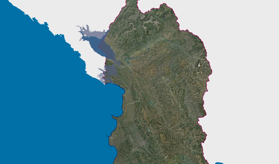 view on mapview in cataloguelinks
view on mapview in cataloguelinksFlood risk areas with probability 1 time in 50 years (2%), water depth (m)
WMS Linkhttps://geoportal.asig.gov.al/service/ambu/wms?request=getcapabilities
Flood risk areas with probability 1 time in 100 years (1%), water depth (m)Map of flood risk areas in the Drin-Buna basin depending on the recurrence periods. 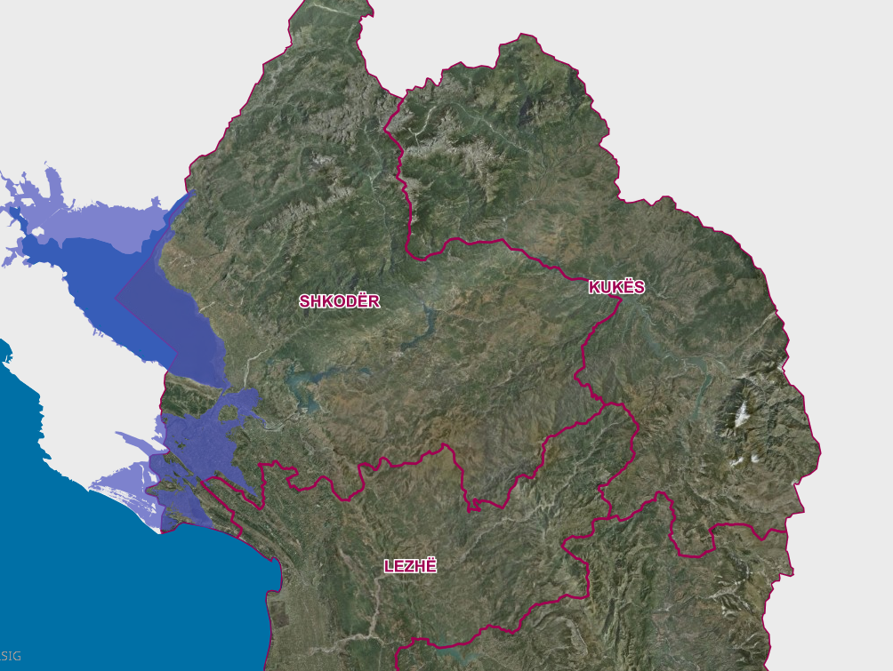 view on mapview in cataloguelinks
view on mapview in cataloguelinksFlood risk areas with probability 1 time in 100 years (1%), water depth (m)
WMS Linkhttps://geoportal.asig.gov.al/service/ambu/wms?request=getcapabilities
Flood risk areas with probability 1 time in 200 years (0.5%), water depth (m)Map of flood risk zones in the Drin-Buna basin depending on the recurrence periods. 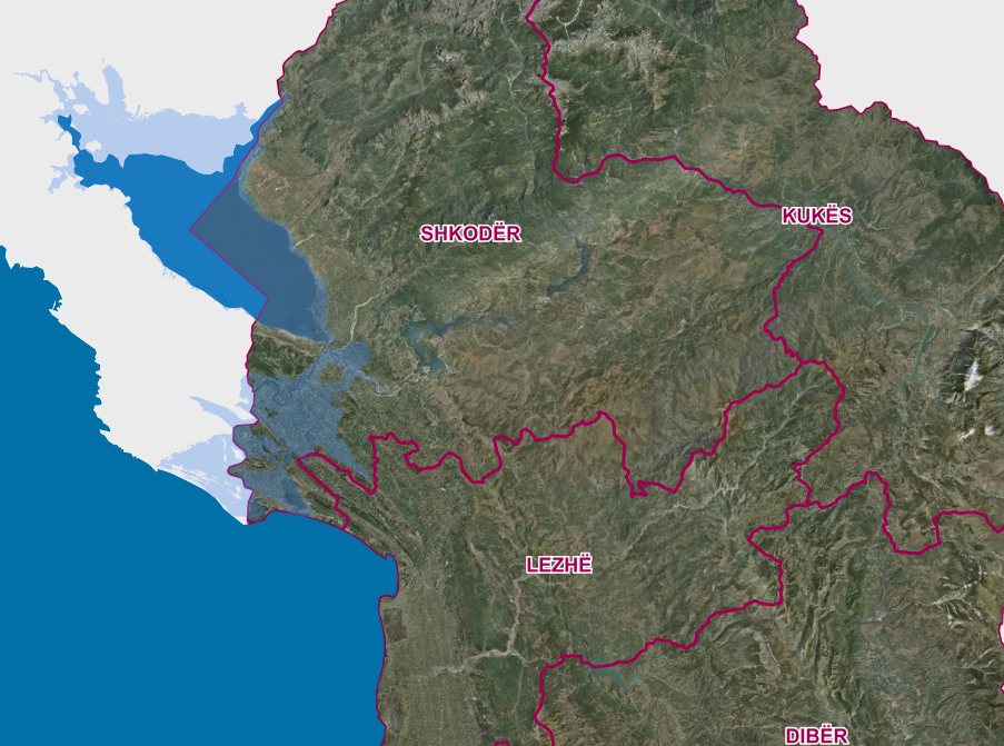 view on mapview in cataloguelinks
view on mapview in cataloguelinksFlood risk areas with probability 1 time in 200 years (0.5%), water depth (m)
WMS Linkhttps://geoportal.asig.gov.al/service/ambu/wms?request=getcapabilities
Flood hazard maps,Vjosë 3, basin, water depth (m) probability 1 time in 100 years (1%)This layer complies with the EU Floods Directive, which presents a risk map for the area as well as for the specific period of return time.  view on mapview in cataloguelinks
view on mapview in cataloguelinksFlood hazard maps,Vjosë 3, basin, water depth (m) probability 1 time in 100 years (1%)
wmshttps://geoportal.asig.gov.al/service/ambu/wms?request=GetCapabilities
Flood hazard maps, ,Vjosë 3 basin, water speed (m/s) probability 1 time in 50 years (2%)This layer complies with the EU Floods Directive, which presents a risk map for the area as well as for the specific period of return time.  view on mapview in cataloguelinks
view on mapview in cataloguelinksFlood hazard maps, ,Vjosë 3 basin, water speed (m/s) probability 1 time in 50 years (2%)
wmshttps://geoportal.asig.gov.al/service/ambu/wms?request=GetCapabilities
Flood hazard maps,Vjosë 3, basin, water depth (m) probability 1 time in 50 years (2%)This layer complies with the EU Floods Directive, which presents a risk map for the area as well as for the specific period of return time.  view on mapview in cataloguelinks
view on mapview in cataloguelinksFlood hazard maps,Vjosë 3, basin, water depth (m) probability 1 time in 50 years (2%)
wmshttps://geoportal.asig.gov.al/service/ambu/wms?request=GetCapabilities
Flood hazard maps, ,Ishëm basin, water speed (m/s) probability 1 time in 200 years (0.5%)This layer complies with the EU Floods Directive, which presents a risk map for the area as well as for the specific period of return time.  view on mapview in cataloguelinks
view on mapview in cataloguelinksFlood hazard maps, ,Ishëm basin, water speed (m/s) probability 1 time in 200 years (0.5%)
wmshttps://geoportal.asig.gov.al/service/ambu/wms?request=GetCapabilities
Flood hazard maps,Ishëm, basin, water depth (m) probability 1 time in 200 years (0.5%)This layer complies with the EU Floods Directive, which presents a risk map for the area as well as for the specific period of return time.  view on mapview in cataloguelinks
view on mapview in cataloguelinksFlood hazard maps,Ishëm, basin, water depth (m) probability 1 time in 200 years (0.5%)
wmshttps://geoportal.asig.gov.al/service/ambu/wms?request=GetCapabilities
Flood hazard maps, ,Ishëm basin, water speed (m/s) probability 1 time in 100 years (1%)This layer complies with the EU Floods Directive, which presents a risk map for the area as well as for the specific period of return time.  view on mapview in cataloguelinks
view on mapview in cataloguelinksFlood hazard maps, ,Ishëm basin, water speed (m/s) probability 1 time in 100 years (1%)
wmshttps://geoportal.asig.gov.al/service/ambu/wms?request=GetCapabilities
Flood hazard maps, Shkumbin 2,3 basin, water speed (m/s) probability 1 time in 200 years (0.5%)This layer complies with the EU Floods Directive, which presents a risk map for the area as well as for the specific period of return time.  view on mapview in cataloguelinks
view on mapview in cataloguelinksFlood hazard maps, Shkumbin 2,3 basin, water speed (m/s) probability 1 time in 200 years (0.5%)
wmshttps://geoportal.asig.gov.al/service/ambu/wms?request=GetCapabilities
Flood hazard maps,Shkumbin 2,3 basin, water depth (m) probability 1 time in 200 years (0.5%)This layer complies with the EU Floods Directive, which presents a risk map for the area as well as for the specific period of return time.  view on mapview in cataloguelinks
view on mapview in cataloguelinksFlood hazard maps,Shkumbin 2,3 basin, water depth (m) probability 1 time in 200 years (0.5%)
wmshttps://geoportal.asig.gov.al/service/ambu/wms?request=GetCapabilities
Flood hazard maps, Shkumbin 2,3 basin, water speed (m/s) probability 1 time in 100 years (1%)This layer complies with the EU Floods Directive, which presents a risk map for the area as well as for the specific period of return time.  view on mapview in cataloguelinks
view on mapview in cataloguelinksFlood hazard maps, Shkumbin 2,3 basin, water speed (m/s) probability 1 time in 100 years (1%)
wmshttps://geoportal.asig.gov.al/service/ambu/wms?request=GetCapabilities
Flood hazard maps, ,Vjosë 3 basin, water speed (m/s) probability 1 time in 100 years (1%)This layer complies with the EU Floods Directive, which presents a risk map for the area as well as for the specific period of return time.  view on mapview in cataloguelinks
view on mapview in cataloguelinksFlood hazard maps, ,Vjosë 3 basin, water speed (m/s) probability 1 time in 100 years (1%)
wmshttps://geoportal.asig.gov.al/service/ambu/wms?request=GetCapabilities
Flood hazard maps,Vjosë 3, basin, water depth (m) probability 1 time in 200 years (0.5%)This layer complies with the EU Floods Directive, which presents a risk map for the area as well as for the specific period of return time.  view on mapview in cataloguelinks
view on mapview in cataloguelinksFlood hazard maps,Vjosë 3, basin, water depth (m) probability 1 time in 200 years (0.5%)
wmshttps://geoportal.asig.gov.al/service/ambu/wms?request=GetCapabilities
Flood hazard maps, ,Vjosë 3 basin, water speed (m/s) probability 1 time in 200 years (0.5%)This layer complies with the EU Floods Directive, which presents a risk map for the area as well as for the specific period of return time.  view on mapview in cataloguelinks
view on mapview in cataloguelinksFlood hazard maps, ,Vjosë 3 basin, water speed (m/s) probability 1 time in 200 years (0.5%)
wmshttps://geoportal.asig.gov.al/service/ambu/wms?request=GetCapabilities
Flood hazard maps,Seman 3,4,5, basin, water depth (m) probability 1 time in 50 years (2%)This layer complies with the EU Floods Directive, which presents a risk map for the area as well as for the specific period of return time.  view on mapview in cataloguelinks
view on mapview in cataloguelinksFlood hazard maps,Seman 3,4,5, basin, water depth (m) probability 1 time in 50 years (2%)
wmshttps://geoportal.asig.gov.al/service/ambu/wms?request=GetCapabilities
Flood hazard maps, Seman 3,4,5 basin, water speed (m/s) probability 1 time in 50 years (2%)This layer complies with the EU Floods Directive, which presents a risk map for the area as well as for the specific period of return time.  view on mapview in cataloguelinks
view on mapview in cataloguelinksFlood hazard maps, Seman 3,4,5 basin, water speed (m/s) probability 1 time in 50 years (2%)
wmshttps://geoportal.asig.gov.al/service/ambu/wms?request=GetCapabilities
Flood hazard maps,Seman 3,4,5, basin, water depth (m) probability 1 time in 100 years (1%)This layer complies with the EU Floods Directive, which presents a risk map for the area as well as for the specific period of return time.  view on mapview in cataloguelinks
view on mapview in cataloguelinksFlood hazard maps,Seman 3,4,5, basin, water depth (m) probability 1 time in 100 years (1%)
wmshttps://geoportal.asig.gov.al/service/ambu/wms?request=GetCapabilities
Flood hazard maps, Seman 3,4,5 basin, water speed (m/s) probability 1 time in 100 years (1%)This layer complies with the EU Floods Directive, which presents a risk map for the area as well as for the specific period of return time.  view on mapview in cataloguelinks
view on mapview in cataloguelinksFlood hazard maps, Seman 3,4,5 basin, water speed (m/s) probability 1 time in 100 years (1%)
wmshttps://geoportal.asig.gov.al/service/ambu/wms?request=GetCapabilities
Flood hazard maps,Seman 3,4,5 basin, water depth (m) probability 1 time in 200 years (0.5%)This layer complies with the EU Floods Directive, which presents a risk map for the area as well as for the specific period of return time.  view on mapview in cataloguelinks
view on mapview in cataloguelinksFlood hazard maps,Seman 3,4,5 basin, water depth (m) probability 1 time in 200 years (0.5%)
wmshttps://geoportal.asig.gov.al/service/ambu/wms?request=GetCapabilities
Flood hazard maps, Seman 3,4,5 basin, water speed (m/s) probability 1 time in 200 years (0.5%)This layer complies with the EU Floods Directive, which presents a risk map for the area as well as for the specific period of return time.  view on mapview in cataloguelinks
view on mapview in cataloguelinksFlood hazard maps, Seman 3,4,5 basin, water speed (m/s) probability 1 time in 200 years (0.5%)
wmshttps://geoportal.asig.gov.al/service/ambu/wms?request=GetCapabilities
Flood hazard maps,Seman 8 basin, water depth (m) probability 1 time in 50 years (2%)This layer complies with the EU Floods Directive, which presents a risk map for the area as well as for the specific period of return time.  view on mapview in cataloguelinks
view on mapview in cataloguelinksFlood hazard maps,Seman 8 basin, water depth (m) probability 1 time in 50 years (2%)
wmshttps://geoportal.asig.gov.al/service/ambu/wms?request=GetCapabilities
Flood hazard maps, Seman 8 basin, water speed (m/s) probability 1 time in 50 years (2%)This layer complies with the EU Floods Directive, which presents a risk map for the area as well as for the specific period of return time.  view on mapview in cataloguelinks
view on mapview in cataloguelinksFlood hazard maps, Seman 8 basin, water speed (m/s) probability 1 time in 50 years (2%)
wmshttps://geoportal.asig.gov.al/service/ambu/wms?request=GetCapabilities
Flood hazard maps,Seman 8 basin, water depth (m) probability 1 time in 100 years (1%)This layer complies with the EU Floods Directive, which presents a risk map for the area as well as for the specific period of return time.  view on mapview in cataloguelinks
view on mapview in cataloguelinksFlood hazard maps,Seman 8 basin, water depth (m) probability 1 time in 100 years (1%)
wmshttps://geoportal.asig.gov.al/service/ambu/wms?request=GetCapabilities
Flood hazard maps, Seman 8 basin, water speed (m/s) probability 1 time in 100 years (1%)This layer complies with the EU Floods Directive, which presents a risk map for the area as well as for the specific period of return time.  view on mapview in cataloguelinks
view on mapview in cataloguelinksFlood hazard maps, Seman 8 basin, water speed (m/s) probability 1 time in 100 years (1%)
wmshttps://geoportal.asig.gov.al/service/ambu/wms?request=GetCapabilities
Flood hazard maps,Seman 8 basin, water depth (m) probability 1 time in 200 years (0.5%)This layer complies with the EU Floods Directive, which presents a risk map for the area as well as for the specific period of return time.  view on mapview in cataloguelinks
view on mapview in cataloguelinksFlood hazard maps,Seman 8 basin, water depth (m) probability 1 time in 200 years (0.5%)
wmshttps://geoportal.asig.gov.al/service/ambu/wms?request=GetCapabilities
Flood hazard maps, Seman 8 basin, water speed (m/s) probability 1 time in 200 years (0.5%)This layer complies with the EU Floods Directive, which presents a risk map for the area as well as for the specific period of return time.  view on mapview in cataloguelinks
view on mapview in cataloguelinksFlood hazard maps, Seman 8 basin, water speed (m/s) probability 1 time in 200 years (0.5%)
wmshttps://geoportal.asig.gov.al/service/ambu/wms?request=GetCapabilities
Flood hazard maps Shkumbin 7,8 basin, water depth (m) probability 1 time in 50 years (2%)This layer complies with the EU Floods Directive, which presents a risk map for the area as well as for the specific period of return time.  view on mapview in cataloguelinks
view on mapview in cataloguelinksFlood hazard maps Shkumbin 7,8 basin, water depth (m) probability 1 time in 50 years (2%)
wmshttps://geoportal.asig.gov.al/service/ambu/wms?request=GetCapabilities
Production and industrial facilities
Black pine monitoring network Black pine monitoring, monitored areas.  view on mapview in cataloguelinks
view on mapview in cataloguelinksBlack pine monitoring network
WMS Linkhttps://geoportal.asig.gov.al/service/akmjedis/wms?request=getcapabilities
Species distribution
Species Distributiion FloraBioNNA provides information on the appearance of species through an open source Web-GIS system developed according to the standards set by the EU INSPIRE Directive. 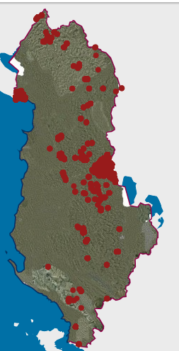 view on mapview in cataloguelinks
view on mapview in cataloguelinksSpecies Distributiion Flora
wmshttps://geoportal.asig.gov.al/service/akzm/wms?request=getcapabilities
Species Distributiion FaunaBioNNA provides information on the appearance of species through an open source Web-GIS system developed according to the standards set by the EU INSPIRE Directive. 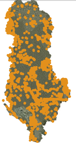 view on mapview in cataloguelinks
view on mapview in cataloguelinksSpecies Distributiion Fauna
wmshttps://geoportal.asig.gov.al/service/akzm/wms?request=getcapabilities
Statistical units
Census 2023, Grid 1 km2 Census (INSTAT )The 2023 Census data on the population distribution of the Republic of Albania at the Grid 1 Km² level are generally valid for 10 years.  view on mapview in cataloguelinks
view on mapview in cataloguelinksCensus 2023, Grid 1 km2 Census (INSTAT )
wmshttps://geoportal.asig.gov.al/service/instat/wms?request=GetCapabilities
Census 2023, Buildings Census (INSTAT)Population and Housing Census data for Albania 2023 on buildings for residential purposes. These data are created and used for operational statistical purposes (Census, surveys, etc.).  view on mapview in cataloguelinks
view on mapview in cataloguelinksCensus 2023, Buildings Census (INSTAT)
wmshttps://geoportal.asig.gov.al/service/instat/wms?request=GetCapabilities
Census 2023, Local Government Unit Census (INSTAT)Census 2023 data on the distribution of the population of the Republic of Albania by administrative units with a 10-year validity. 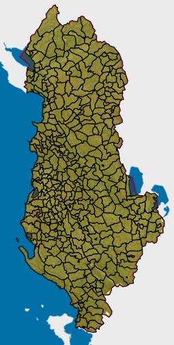 view on mapview in cataloguelinks
view on mapview in cataloguelinksCensus 2023, Local Government Unit Census (INSTAT)
wmshttps://geoportal.asig.gov.al/service/instat/wms?request=GetCapabilities
Local Government Unit Census (INSTAT)Census data 2011 at local level, Municipalities and Municipalities. 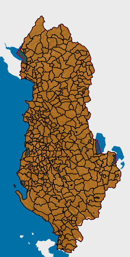 view on mapview in cataloguelinks
view on mapview in cataloguelinksLocal Government Unit Census (INSTAT)
https://geoportal.asig.gov.al/service/instat/wms?request=getcapabilities
Census 2011 Grid 1km2 (INSTAT)Density of the population in terms of the grid network of 1 sq. Km. 1 square square grid (EUROSTAT - GEOSTAT) 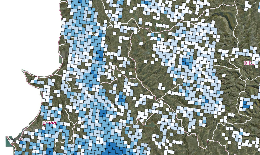 view on mapview in cataloguelinks
view on mapview in cataloguelinksCensus 2011 Grid 1km2 (INSTAT)
WMS Linkhttps://geoportal.asig.gov.al/service/instat/wms?request=getcapabilities
Buildings Census (INSTAT)Data for Buildings from 2011 Census.  view on mapview in cataloguelinks
view on mapview in cataloguelinksBuildings Census (INSTAT)
WMS Linkhttps://geoportal.asig.gov.al/service/instat/wms?request=getcapabilities
Protected Sites
Cultural protected sites (Point) Protected areas of cultural heritage include historical centers and their protected areas, archaeological areas divided into categories "A" and "B", based on the intensity of the presence of archaeological traces  view on mapview in cataloguelinks
view on mapview in cataloguelinksCultural protected sites (Point)
wmshttps://geoportal.asig.gov.al/service/iktk/wms?request=GetCapabilities
Natural Protected SitesPursuant to Law No. 81/2017 "On protected areas" The totality of environmentally protected areas constitutes the national system of protected territories, announced by special legislation. 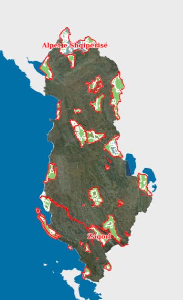 view on mapview in cataloguelinks
view on mapview in cataloguelinksNatural Protected Sites
WMS Linkhttps://geoportal.asig.gov.al/service/akzm/wms?request=GetCapabilities
Cultural protected sites (Polygon)Protected areas of cultural heritage include historical centers and their protected areas, archaeological areas divided into categories "A" and "B", based on the intensity of the presence of archaeological traces 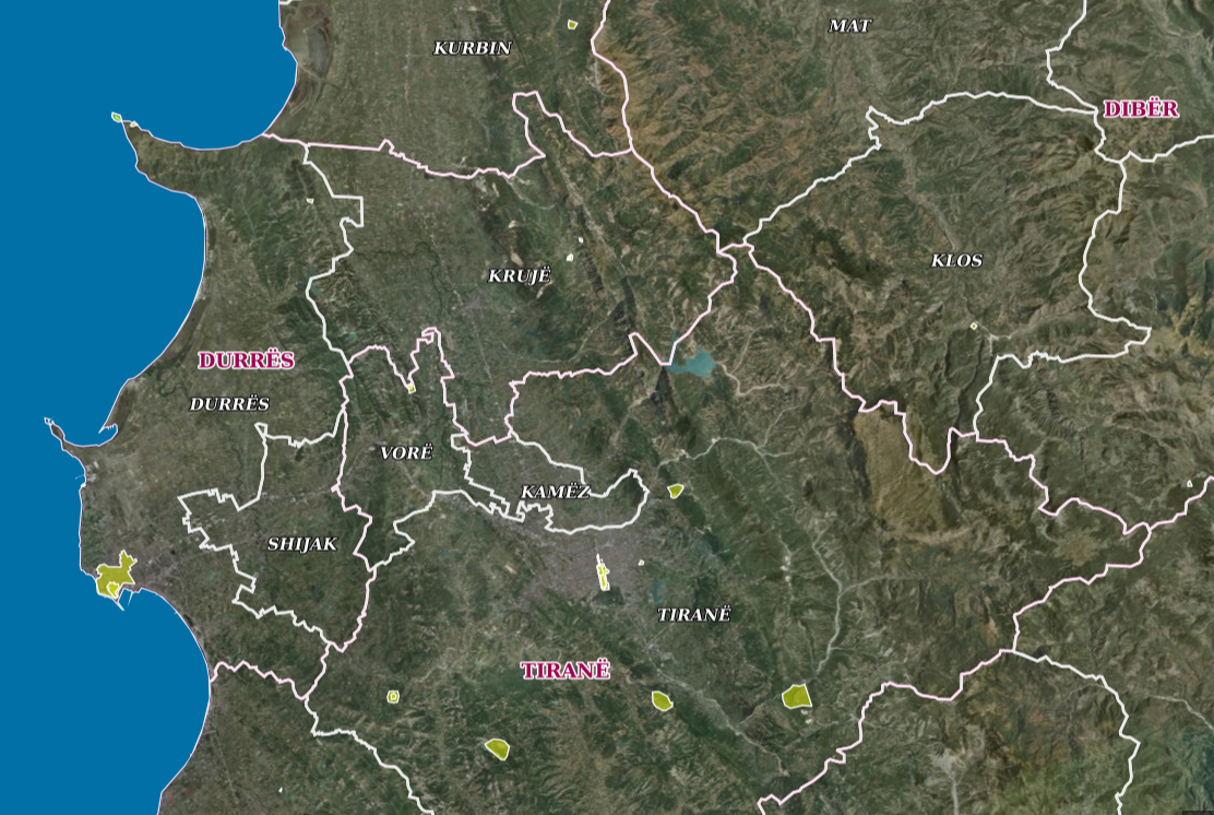 view on mapview in cataloguelinks
view on mapview in cataloguelinksCultural protected sites (Polygon)
wmshttps://geoportal.asig.gov.al/service/iktk/wms?request=GetCapabilities
Environment- Natural MonumentThe complete list of natural monuments in Albania grouped by districts. 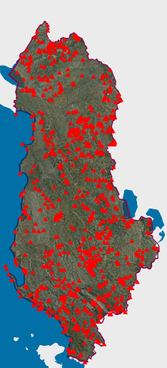 view on mapview in cataloguelinks
view on mapview in cataloguelinksEnvironment- Natural Monument
WMS Linkhttps://geoportal.asig.gov.al/service/akzm/wms?request=GetCapabilities
Other
Physical Compensation Fund of Former OwnersPhysical Compensation Fund of former Owners according to DCM no. 770, dated 12.11.2014 "On the transfer to the physical compensation fund, available to the PRCA, of agricultural land area of 23368.8 ha, in state ownership given for use C.L.U. 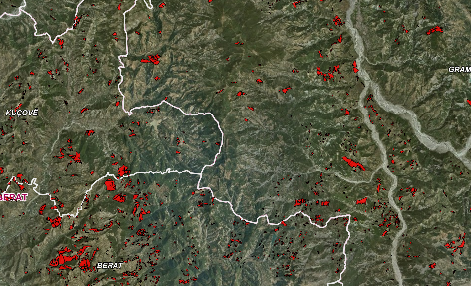 view on mapview in cataloguelinks
view on mapview in cataloguelinksPhysical Compensation Fund of Former Owners
WMS Linkhttps://geoportal.asig.gov.al/service/akkp/wms?
Addresses
EnumerationNumbering of objects for the address system for the territory of the Republic of Albania, referring to the aerial photography of 2007. Phase of the project "Modernization of the Civil Status Service", in order to implement a modern address system.  view on mapview in cataloguelinks
view on mapview in cataloguelinksEnumeration
WMS Linkhttps://geoportal.asig.gov.al/service/adresar/wms?request=getcapabilities
BuildingsIdentification and construction of the traces of the buildings for the address system for the territory of the Republic of Albania.  view on mapview in cataloguelinks
view on mapview in cataloguelinksBuildings
WMS Linkhttps://geoportal.asig.gov.al/service/adresar/wms?request=getcapabilities
Road AddressesIdentification and construction of public area parts track (PTP) (boulevard / street / side street / squares / park) for the address system for the territory of the Republic of Albania.  view on mapview in cataloguelinks
view on mapview in cataloguelinksRoad Addresses
WMS Linkhttps://geoportal.asig.gov.al/service/adresar/wms?request=getcapabilities